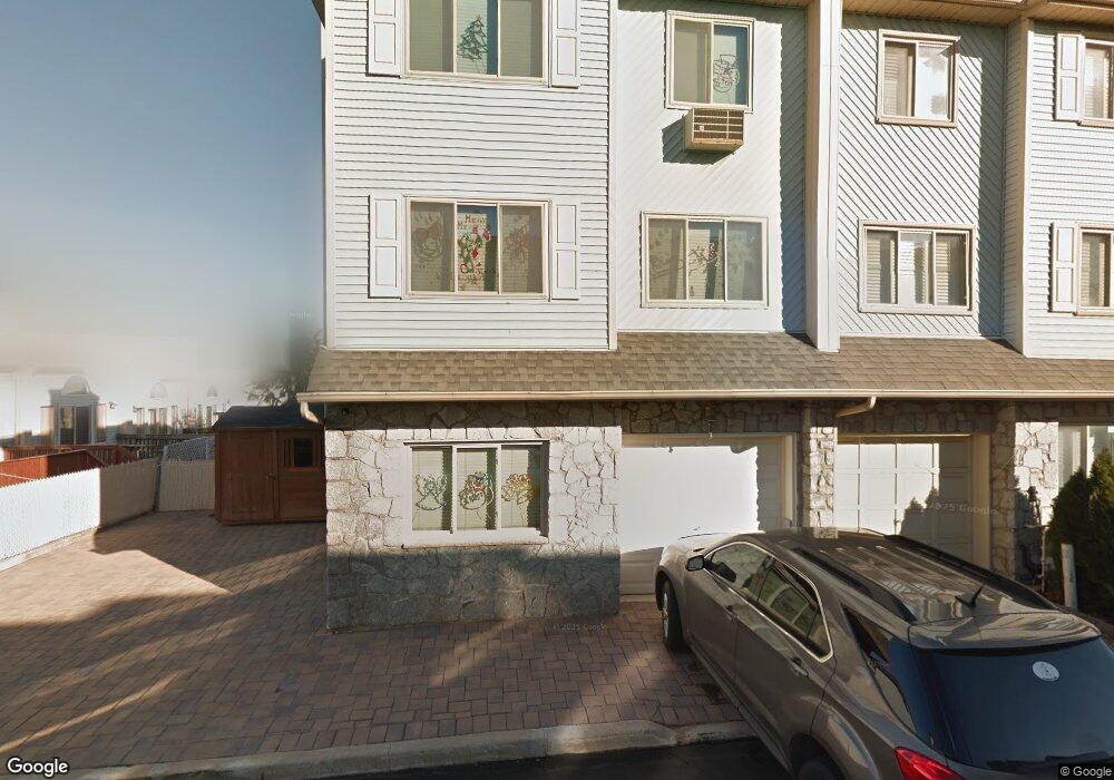
19 Candon Ct Staten Island, NY 10309
Rossville NeighborhoodEstimated Value: $581,273 - $629,000
--
Bed
4
Baths
1,600
Sq Ft
$381/Sq Ft
Est. Value
About This Home
This home is located at 19 Candon Ct, Staten Island, NY 10309 and is currently estimated at $608,818, approximately $380 per square foot. 19 Candon Ct is a home located in Richmond County with nearby schools including P.S. 56 - The Louis Desario School, Is 34 Tottenville, and Tottenville High School.
Ownership History
Date
Name
Owned For
Owner Type
Purchase Details
Closed on
Jun 8, 2011
Sold by
Jerrahian Francis J and Jerrahian Frank T
Bought by
Jerrahian Frank T and Jerrahian Allyson A
Current Estimated Value
Home Financials for this Owner
Home Financials are based on the most recent Mortgage that was taken out on this home.
Original Mortgage
$225,000
Interest Rate
4.58%
Mortgage Type
New Conventional
Create a Home Valuation Report for This Property
The Home Valuation Report is an in-depth analysis detailing your home's value as well as a comparison with similar homes in the area
Home Values in the Area
Average Home Value in this Area
Purchase History
| Date | Buyer | Sale Price | Title Company |
|---|---|---|---|
| Jerrahian Frank T | -- | Stewart Title Insurance Co |
Source: Public Records
Mortgage History
| Date | Status | Borrower | Loan Amount |
|---|---|---|---|
| Closed | Jerrahian Frank T | $225,000 |
Source: Public Records
Tax History Compared to Growth
Tax History
| Year | Tax Paid | Tax Assessment Tax Assessment Total Assessment is a certain percentage of the fair market value that is determined by local assessors to be the total taxable value of land and additions on the property. | Land | Improvement |
|---|---|---|---|---|
| 2025 | $4,885 | $33,900 | $4,391 | $29,509 |
| 2024 | $4,897 | $29,760 | $4,719 | $25,041 |
| 2023 | $4,643 | $24,264 | $4,610 | $19,654 |
| 2022 | $4,442 | $27,480 | $5,460 | $22,020 |
| 2021 | $4,682 | $28,560 | $5,460 | $23,100 |
| 2020 | $4,513 | $26,580 | $5,460 | $21,120 |
| 2019 | $4,191 | $24,480 | $5,460 | $19,020 |
| 2018 | $3,824 | $20,220 | $5,460 | $14,760 |
| 2017 | $3,724 | $19,740 | $5,460 | $14,280 |
| 2016 | $3,771 | $20,415 | $5,448 | $14,967 |
| 2015 | $3,230 | $19,260 | $4,560 | $14,700 |
| 2014 | $3,230 | $18,420 | $4,560 | $13,860 |
Source: Public Records
Map
Nearby Homes
- 159 Wirt Ave
- 16 Wirt Ln
- 857 Bloomingdale Rd
- 125 Wirt Ave
- 15 Lorraine Loop
- 17 Lorraine Loop
- 149 Lucille Ave
- 494 Winant Ave
- 34 Lorraine Loop
- 729 Correll Ave
- 102 Lorraine Loop
- 816 Bloomingdale Rd
- 126 Lorraine Loop
- 137 Shiel Ave
- 76 Lucille Ave
- 15 Wiltshire Ln
- 45 Redwood Loop
- 39 Hemlock Ct Unit 152
- 37 Charleston Ave
- 119 Berkshire Ln