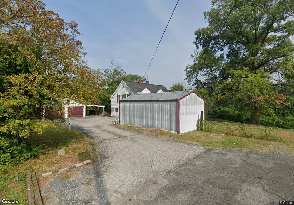
19 Carol Dr Collinsville, IL 62234
Estimated Value: $166,000 - $234,000
4
Beds
1
Bath
1,995
Sq Ft
$103/Sq Ft
Est. Value
About This Home
This home is located at 19 Carol Dr, Collinsville, IL 62234 and is currently estimated at $206,311, approximately $103 per square foot. 19 Carol Dr is a home located in Madison County with nearby schools including John A Renfro Elementary School, Dorris Intermediate School, and Collinsville Middle School.
Ownership History
Date
Name
Owned For
Owner Type
Purchase Details
Closed on
Mar 19, 2021
Sold by
First Mid Wealth Management Co
Bought by
Harris Tracey
Current Estimated Value
Purchase Details
Closed on
Feb 9, 2021
Sold by
Ms Investment Group Inc
Bought by
First Mid Wealth Management Co
Purchase Details
Closed on
Jan 29, 2021
Sold by
Madison County Clerk
Bought by
Ms Investment Group Inc
Purchase Details
Closed on
Nov 13, 2014
Sold by
Spicer Sharon M
Bought by
First Collinsville Bank
Create a Home Valuation Report for This Property
The Home Valuation Report is an in-depth analysis detailing your home's value as well as a comparison with similar homes in the area
Home Values in the Area
Average Home Value in this Area
Purchase History
| Date | Buyer | Sale Price | Title Company |
|---|---|---|---|
| Harris Tracey | $13,000 | None Available | |
| First Mid Wealth Management Co | $12,500 | None Available | |
| Ms Investment Group Inc | -- | None Available | |
| First Collinsville Bank | -- | None Available |
Source: Public Records
Tax History Compared to Growth
Tax History
| Year | Tax Paid | Tax Assessment Tax Assessment Total Assessment is a certain percentage of the fair market value that is determined by local assessors to be the total taxable value of land and additions on the property. | Land | Improvement |
|---|---|---|---|---|
| 2024 | $3,437 | $55,720 | $15,510 | $40,210 |
| 2023 | $3,437 | $51,580 | $14,360 | $37,220 |
| 2022 | $3,287 | $47,700 | $13,280 | $34,420 |
| 2021 | $2,529 | $43,940 | $12,220 | $31,720 |
| 2020 | $2,433 | $41,920 | $11,660 | $30,260 |
| 2019 | $2,364 | $40,490 | $11,260 | $29,230 |
| 2018 | $2,310 | $38,360 | $10,670 | $27,690 |
| 2017 | $1,556 | $27,230 | $10,470 | $16,760 |
| 2016 | $1,641 | $27,230 | $10,470 | $16,760 |
| 2015 | $1,521 | $26,520 | $10,200 | $16,320 |
| 2014 | $1,521 | $26,520 | $10,200 | $16,320 |
| 2013 | $1,521 | $26,520 | $10,200 | $16,320 |
Source: Public Records
Map
Nearby Homes
- 10 White Lily Dr
- 0 N Keebler Ave
- 414 Bunker Hill Dr
- 625 W Country Ln
- 203 Greenfield Dr
- 22 Brookwood Dr
- 1224 Cedar Ridge Ct
- 5 Brookwood Dr
- 2 Chelsea Rd
- 2007 Belt Line Rd
- 102 Toni Ct
- 1120 Williams St
- 1210 Constance St
- 308 Brown Ave
- 706 Illinois Ave
- 54 Oak Leaf Dr
- 0 Mabry Dr
- 1121 Carraway Ct
- 1227 Ridge Ave
- 6 Doe Run Trail
- 17 Carol Dr
- 20 Carol Dr
- 20 Carol Dr Unit 20-22
- 41 White Lily Dr
- 16 Carol Dr
- 16 Carol Dr Unit 16-18
- 12 Carol Dr
- 19 Red Rose Dr
- 33 White Lily Dr
- 21 Red Rose Dr
- 13 White Lily Dr
- 15 White Lily Dr
- 15 Red Rose Dr
- 7 White Lily Dr
- 27 White Lily Dr
- 5 White Lily Dr
- 72 Carnation Dr
- XX White Lily Dr
- 11 Red Rose Dr