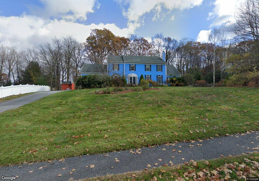
19 Carter Rd Shrewsbury, MA 01545
Estimated Value: $1,069,000 - $1,335,000
4
Beds
4
Baths
3,454
Sq Ft
$342/Sq Ft
Est. Value
About This Home
This home is located at 19 Carter Rd, Shrewsbury, MA 01545 and is currently estimated at $1,182,722, approximately $342 per square foot. 19 Carter Rd is a home located in Worcester County with nearby schools including Spring Street Elementary School, Sherwood Middle School, and Oak Middle School.
Ownership History
Date
Name
Owned For
Owner Type
Purchase Details
Closed on
Apr 30, 2010
Sold by
Graves Amanda L and Cook Amanda L
Bought by
Li Weiqun and Yan Xiaofeng
Current Estimated Value
Home Financials for this Owner
Home Financials are based on the most recent Mortgage that was taken out on this home.
Original Mortgage
$417,000
Interest Rate
4.99%
Mortgage Type
Purchase Money Mortgage
Purchase Details
Closed on
May 16, 1991
Sold by
Shrewsbury Hls Ltd Inc
Bought by
Cook Neil K and Amanda L Cook
Create a Home Valuation Report for This Property
The Home Valuation Report is an in-depth analysis detailing your home's value as well as a comparison with similar homes in the area
Home Values in the Area
Average Home Value in this Area
Purchase History
| Date | Buyer | Sale Price | Title Company |
|---|---|---|---|
| Li Weiqun | $620,000 | -- | |
| Li Weiqun | $620,000 | -- | |
| Li Weiqun | $620,000 | -- | |
| Cook Neil K | $300,000 | -- | |
| Cook Neil K | $300,000 | -- |
Source: Public Records
Mortgage History
| Date | Status | Borrower | Loan Amount |
|---|---|---|---|
| Open | Cook Neil K | $330,000 | |
| Closed | Cook Neil K | $330,000 | |
| Closed | Li Weiqun | $417,000 | |
| Closed | Cook Neil K | $38,000 |
Source: Public Records
Tax History
| Year | Tax Paid | Tax Assessment Tax Assessment Total Assessment is a certain percentage of the fair market value that is determined by local assessors to be the total taxable value of land and additions on the property. | Land | Improvement |
|---|---|---|---|---|
| 2025 | $134 | $1,117,000 | $333,400 | $783,600 |
| 2024 | $13,676 | $1,104,700 | $317,400 | $787,300 |
| 2023 | $11,651 | $888,000 | $317,400 | $570,600 |
| 2022 | $10,700 | $758,300 | $282,100 | $476,200 |
| 2021 | $9,548 | $723,900 | $282,100 | $441,800 |
| 2020 | $9,027 | $723,900 | $282,100 | $441,800 |
| 2019 | $8,788 | $699,100 | $276,700 | $422,400 |
| 2018 | $8,713 | $688,200 | $255,200 | $433,000 |
| 2017 | $8,182 | $637,700 | $219,200 | $418,500 |
| 2016 | $8,237 | $633,600 | $218,100 | $415,500 |
| 2015 | $7,924 | $600,300 | $184,800 | $415,500 |
Source: Public Records
Map
Nearby Homes
- 15 Keyes House Rd
- 9 Morningside Dr
- 38 Keyes House Rd
- 24 Morningside Dr
- 30 Bridle Path
- 7-11 Reservoir St
- 8 Hunter Cir
- 88 High St
- 49 Barnard Hill Rd
- 52 Barnard Hill Rd
- 26 High St
- 329 Crawford St
- 202 Prospect St
- 81 West St
- 243 Spring St
- 17 Wilder Rd
- 11 Venus Dr
- 109 Rocky Pond Rd
- 13 Dennis Cir
- 243 Church St
Your Personal Tour Guide
Ask me questions while you tour the home.