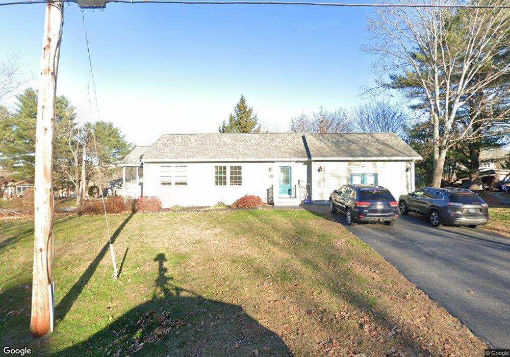
19 Caton Rd Raymond, ME 04071
Estimated Value: $473,000 - $564,033
2
Beds
4
Baths
1,040
Sq Ft
$511/Sq Ft
Est. Value
About This Home
This home is located at 19 Caton Rd, Raymond, ME 04071 and is currently estimated at $531,258, approximately $510 per square foot. 19 Caton Rd is a home located in Cumberland County with nearby schools including Raymond Elementary School, Jordan-Small Middle School, and Windham High School.
Ownership History
Date
Name
Owned For
Owner Type
Purchase Details
Closed on
Dec 19, 2019
Sold by
Woodward Deanna L
Bought by
Aaskov Kathleen O and Aaskov Micheal D
Current Estimated Value
Home Financials for this Owner
Home Financials are based on the most recent Mortgage that was taken out on this home.
Original Mortgage
$341,100
Outstanding Balance
$301,316
Interest Rate
3.7%
Mortgage Type
New Conventional
Estimated Equity
$229,942
Purchase Details
Closed on
May 18, 2015
Sold by
Desfosses Brian E Est and Clark Eileen
Bought by
Woodward Deanna
Create a Home Valuation Report for This Property
The Home Valuation Report is an in-depth analysis detailing your home's value as well as a comparison with similar homes in the area
Home Values in the Area
Average Home Value in this Area
Purchase History
| Date | Buyer | Sale Price | Title Company |
|---|---|---|---|
| Aaskov Kathleen O | -- | None Available | |
| Woodward Deanna | -- | -- |
Source: Public Records
Mortgage History
| Date | Status | Borrower | Loan Amount |
|---|---|---|---|
| Open | Aaskov Kathleen O | $341,100 |
Source: Public Records
Tax History
| Year | Tax Paid | Tax Assessment Tax Assessment Total Assessment is a certain percentage of the fair market value that is determined by local assessors to be the total taxable value of land and additions on the property. | Land | Improvement |
|---|---|---|---|---|
| 2024 | $4,826 | $280,600 | $84,900 | $195,700 |
| 2023 | $4,462 | $280,600 | $84,900 | $195,700 |
| 2022 | $4,209 | $280,600 | $84,900 | $195,700 |
| 2021 | $3,773 | $267,600 | $84,900 | $182,700 |
| 2019 | $3,415 | $253,900 | $84,900 | $169,000 |
| 2018 | $3,199 | $253,900 | $84,900 | $169,000 |
| 2017 | $3,123 | $253,900 | $84,900 | $169,000 |
| 2016 | $2,523 | $208,500 | $84,900 | $123,600 |
| 2015 | $1,757 | $147,000 | $102,000 | $45,000 |
| 2014 | $1,735 | $147,000 | $102,000 | $45,000 |
| 2013 | $1,654 | $147,000 | $102,000 | $45,000 |
Source: Public Records
Map
Nearby Homes
- 16 Peterson Rd
- 18 Hillside Dr
- 20 Bittersweet Way
- 1112 Roosevelt Trail Unit 8
- 1083 Roosevelt Trail
- 2 Flynn Rd
- 1042 Roosevelt Trail
- 105 Meadow Rd
- lot #8 Bedrock Terrace
- 99 Enterprise Dr
- 17 Murray Dr
- 1525 Roosevelt Trail
- 15 Worcester Dr
- 12 Presidential View
- 42 Bracken Woods Rd
- 1569 Roosevelt Trail
- 0 Heidi Way
- 11 Clover Ln
- 2 Gore Rd
- 17 Blueberry Point Rd
Your Personal Tour Guide
Ask me questions while you tour the home.