19 Cedar Point Rd Webster, MA 01570
Estimated Value: $1,811,000 - $1,906,000
3
Beds
5
Baths
5,336
Sq Ft
$345/Sq Ft
Est. Value
About This Home
This home is located at 19 Cedar Point Rd, Webster, MA 01570 and is currently estimated at $1,842,965, approximately $345 per square foot. 19 Cedar Point Rd is a home located in Worcester County with nearby schools including Park Avenue Elementary School, Webster Middle School, and Bartlett High School.
Ownership History
Date
Name
Owned For
Owner Type
Purchase Details
Closed on
May 22, 2024
Sold by
Paquette Robin G
Bought by
Paquette Ft and White
Current Estimated Value
Purchase Details
Closed on
Jun 4, 2002
Sold by
Doris C Bayer Trust
Bought by
Paquette Charles R and Paquette Robin G
Create a Home Valuation Report for This Property
The Home Valuation Report is an in-depth analysis detailing your home's value as well as a comparison with similar homes in the area
Home Values in the Area
Average Home Value in this Area
Purchase History
| Date | Buyer | Sale Price | Title Company |
|---|---|---|---|
| Paquette Ft | -- | None Available | |
| Paquette Ft | -- | None Available | |
| Paquette Charles R | $250,000 | -- | |
| Paquette Charles R | $250,000 | -- |
Source: Public Records
Tax History
| Year | Tax Paid | Tax Assessment Tax Assessment Total Assessment is a certain percentage of the fair market value that is determined by local assessors to be the total taxable value of land and additions on the property. | Land | Improvement |
|---|---|---|---|---|
| 2025 | $20,176 | $1,698,300 | $413,900 | $1,284,400 |
| 2024 | $15,683 | $1,287,600 | $360,200 | $927,400 |
| 2023 | $8,728 | $698,200 | $342,900 | $355,300 |
| 2022 | $4,510 | $323,100 | $305,000 | $18,100 |
| 2021 | $4,636 | $307,000 | $305,000 | $2,000 |
| 2020 | $5,372 | $356,700 | $305,000 | $51,700 |
| 2019 | $5,422 | $353,700 | $305,000 | $48,700 |
| 2018 | $5,391 | $350,300 | $305,000 | $45,300 |
| 2017 | $5,445 | $359,900 | $309,000 | $50,900 |
| 2016 | $4,730 | $312,400 | $266,000 | $46,400 |
| 2015 | $4,507 | $307,000 | $260,800 | $46,200 |
Source: Public Records
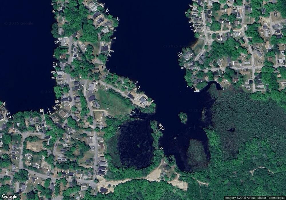
Map
Nearby Homes
- 16 Black Point Rd
- 38 Colonial Rd
- 18 Leon St
- 24 Cooper Rd
- 13 S Point Rd
- 171 Upper Gore Rd
- 1350 Thompson Rd
- 16 Hilltop Dr
- 53-55 Point Pleasant Rd
- 45 Point Pleasant Rd
- 2 Mary Rd
- 10 Indian Point Rd
- 0 Thompson Rd
- 3 Upper Gore Rd
- 117 New Rd
- 0 Porter Plain Rd
- 1 Sylvester Dr
- 23 Lakeview Rd
- 121 New Rd
- 125 Birch Island Rd
- 15 Cedar Point Rd
- 13 Cedar Point Rd
- 9 Cedar Point Rd Unit 11
- 3 Cedar Point Rd
- 22 Black Point Rd
- 18 Black Point Rd
- 24 Black Point Rd
- 0 Black Point Rd
- 108 Lakeside Ave
- 28 Black Point Rd
- 106 Lakeside Ave
- 2 Cedar Point Rd
- 110 Lakeside Ave
- 104 Lakeside Ave
- 36 Black Point Rd
- 36 Black Point Rd Unit Lot 1
- 14 Black Point Rd
- 102 Lakeside Ave
- 2 Pattison Rd
- 4 Pattison Rd
Your Personal Tour Guide
Ask me questions while you tour the home.