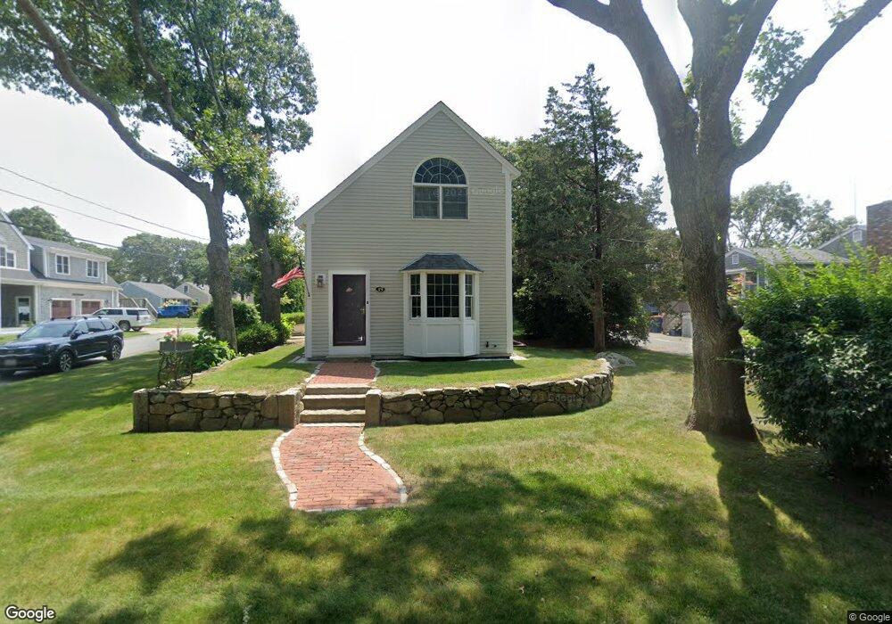
19 Cherrystone Rd Fairhaven, MA 02719
West Island NeighborhoodEstimated Value: $748,614 - $942,000
2
Beds
3
Baths
1,640
Sq Ft
$531/Sq Ft
Est. Value
About This Home
This home is located at 19 Cherrystone Rd, Fairhaven, MA 02719 and is currently estimated at $871,654, approximately $531 per square foot. 19 Cherrystone Rd is a home located in Bristol County with nearby schools including Fairhaven High School.
Ownership History
Date
Name
Owned For
Owner Type
Purchase Details
Closed on
Jul 18, 2008
Sold by
Perry Thomas J
Bought by
Nardone Mary S and Clapp Paul D
Current Estimated Value
Home Financials for this Owner
Home Financials are based on the most recent Mortgage that was taken out on this home.
Original Mortgage
$150,000
Outstanding Balance
$97,259
Interest Rate
6.17%
Mortgage Type
Purchase Money Mortgage
Estimated Equity
$774,395
Create a Home Valuation Report for This Property
The Home Valuation Report is an in-depth analysis detailing your home's value as well as a comparison with similar homes in the area
Home Values in the Area
Average Home Value in this Area
Purchase History
| Date | Buyer | Sale Price | Title Company |
|---|---|---|---|
| Nardone Mary S | $459,000 | -- |
Source: Public Records
Mortgage History
| Date | Status | Borrower | Loan Amount |
|---|---|---|---|
| Open | Nardone Mary S | $150,000 |
Source: Public Records
Tax History
| Year | Tax Paid | Tax Assessment Tax Assessment Total Assessment is a certain percentage of the fair market value that is determined by local assessors to be the total taxable value of land and additions on the property. | Land | Improvement |
|---|---|---|---|---|
| 2025 | $58 | $625,900 | $240,200 | $385,700 |
| 2024 | $5,640 | $611,000 | $240,200 | $370,800 |
| 2023 | $5,425 | $545,200 | $207,200 | $338,000 |
| 2022 | $5,275 | $516,100 | $188,800 | $327,300 |
| 2021 | $5,750 | $509,300 | $171,600 | $337,700 |
| 2020 | $5,633 | $509,300 | $171,600 | $337,700 |
| 2019 | $5,402 | $462,900 | $147,000 | $315,900 |
| 2018 | $4,963 | $422,400 | $139,900 | $282,500 |
| 2017 | $4,691 | $389,600 | $134,600 | $255,000 |
| 2016 | $4,477 | $367,600 | $132,000 | $235,600 |
| 2015 | $4,335 | $356,800 | $132,000 | $224,800 |
Source: Public Records
Map
Nearby Homes
- 151 Balsam St
- 871 Sconticut Neck Rd
- 8 Sunset Beach Rd
- 28 Brant Beach Ave
- 0 Marina Dr Unit 72497908
- 0 Marina Dr Unit 72497877
- 5 Reservation Rd
- 20 Nantucket Dr
- 190 Sconticut Neck Rd
- 3.5 Golf St
- 15 Bay View Avenue ms
- 15 Bayview Ave
- 27 Bayview Ave
- 41 Starboard Way
- 0 Harbor Acres Ln - Lot B
- 58 Bayview Ave
- 0 Whalers Way
- 3 Earle St
- 00 Huttleston Ave
- 421 Huttleston Ave
- 15 Cherrystone Rd
- 0 Cherrystone Unit 72776665
- 21 Cherrystone Rd
- 23 Cherrystone Rd
- 14 Cherrystone Rd
- 184 Dogwood St
- 10 Cherrystone Rd
- 181 Dogwood St
- 185 Cottonwood St
- 20 Cherrystone Rd
- 182 Dogwood St
- 172 Ebony St
- 22 Cherrystone Rd
- 177 Dogwood St
- 190 Cottonwood St
- 190 Cottonwood St
- 189 Dogwood St
- 189 Dogwood St
- 186 Cottonwood St
- 193 Cottonwood St
Your Personal Tour Guide
Ask me questions while you tour the home.