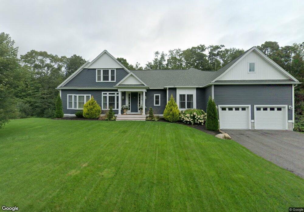
19 Chestnut Hill Dr Westport, MA 02790
Head of Westport NeighborhoodEstimated Value: $637,000 - $899,000
3
Beds
2
Baths
1,832
Sq Ft
$432/Sq Ft
Est. Value
About This Home
This home is located at 19 Chestnut Hill Dr, Westport, MA 02790 and is currently estimated at $790,921, approximately $431 per square foot. 19 Chestnut Hill Dr is a home with nearby schools including Alice A. Macomber Primary School, Westport Elementary School, and Westport Middle-High School.
Ownership History
Date
Name
Owned For
Owner Type
Purchase Details
Closed on
Dec 15, 2017
Sold by
Westport Realty Dev In
Bought by
Jarvis Michael D and Clowes Nicole M
Current Estimated Value
Home Financials for this Owner
Home Financials are based on the most recent Mortgage that was taken out on this home.
Original Mortgage
$367,500
Outstanding Balance
$312,327
Interest Rate
3.94%
Mortgage Type
New Conventional
Estimated Equity
$478,594
Create a Home Valuation Report for This Property
The Home Valuation Report is an in-depth analysis detailing your home's value as well as a comparison with similar homes in the area
Home Values in the Area
Average Home Value in this Area
Purchase History
| Date | Buyer | Sale Price | Title Company |
|---|---|---|---|
| Jarvis Michael D | $531,732 | -- |
Source: Public Records
Mortgage History
| Date | Status | Borrower | Loan Amount |
|---|---|---|---|
| Open | Jarvis Michael D | $367,500 |
Source: Public Records
Tax History Compared to Growth
Tax History
| Year | Tax Paid | Tax Assessment Tax Assessment Total Assessment is a certain percentage of the fair market value that is determined by local assessors to be the total taxable value of land and additions on the property. | Land | Improvement |
|---|---|---|---|---|
| 2025 | $5,522 | $741,200 | $244,100 | $497,100 |
| 2024 | $6,230 | $806,000 | $230,300 | $575,700 |
| 2023 | $5,418 | $664,000 | $212,800 | $451,200 |
| 2022 | $4,904 | $578,300 | $194,300 | $384,000 |
| 2021 | $3,829 | $565,200 | $181,200 | $384,000 |
| 2020 | $4,721 | $560,000 | $176,000 | $384,000 |
| 2019 | $4,574 | $574,000 | $176,000 | $398,000 |
| 2018 | $0 | $179,200 | $179,200 | $0 |
| 2017 | $1,448 | $181,700 | $181,700 | $0 |
| 2016 | $1,477 | $186,700 | $186,700 | $0 |
| 2015 | $1,500 | $189,200 | $189,200 | $0 |
Source: Public Records
Map
Nearby Homes
- 4 Main Rd
- 380 Gifford Rd
- 79 Center St
- 994 State
- 96 Forge Rd
- 47 Fallon Dr
- 2 Mackady Ct
- 29 Union Ave
- 3 Roller Coaster Way Unit Lot 1
- 16 S Berryman St
- 15 S Breault St
- 0 Hidden Glen Ln
- 118 Charlotte White Rd
- 118 Charlotte White Rd Extension
- 15 Truman St
- 461 Reed Rd
- 116 Gifford Rd
- 6 Angel Ct
- 8 Strawberry Ln
- 47 Devol Ave
- Lot 4C Blue Acres Way
- 0 Liquor-Convenience Store Unit 72674201
- 23 Chestnut Hill Dr
- 20 Chestnut Hill Dr
- 24 Chestnut Hill Dr
- 27 Chestnut Hill Dr
- 22 Longview Dr
- 18 Longview Dr
- 14 Longview Dr
- 31 Chestnut Hill Dr
- 28 Chestnut Hill Dr
- 10 Longview Dr
- Lot 11 Chestnut Hill Dr
- Lot 5 Chestnut Hill Dr
- Lot 2 Chestnut Hill Dr
- 15 Chestnut Hill Dr
- 21 Longview Dr
- 15 Longview Dr
- 4 Longview Dr
- 35 Chestnut Hill Dr