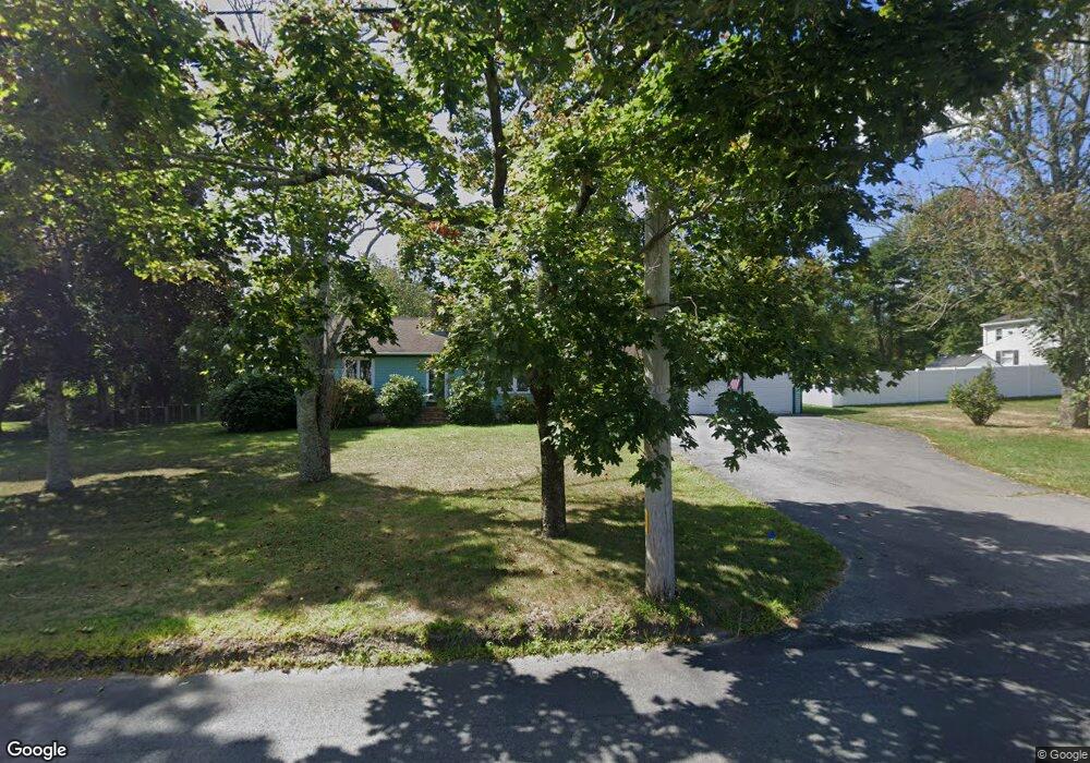
19 Chipaway Rd East Freetown, MA 02717
Estimated Value: $474,000 - $530,000
2
Beds
1
Bath
1,320
Sq Ft
$383/Sq Ft
Est. Value
About This Home
This home is located at 19 Chipaway Rd, East Freetown, MA 02717 and is currently estimated at $505,496, approximately $382 per square foot. 19 Chipaway Rd is a home located in Bristol County with nearby schools including Freetown Elementary School, George R Austin Intermediate School, and Freetown-Lakeville Middle School.
Ownership History
Date
Name
Owned For
Owner Type
Purchase Details
Closed on
Jul 15, 2019
Sold by
Robbins Beth M
Bought by
Beth M Robbins T
Current Estimated Value
Purchase Details
Closed on
Jul 25, 1980
Bought by
Robbins Laurist L and Robbins Beth M
Create a Home Valuation Report for This Property
The Home Valuation Report is an in-depth analysis detailing your home's value as well as a comparison with similar homes in the area
Home Values in the Area
Average Home Value in this Area
Purchase History
| Date | Buyer | Sale Price | Title Company |
|---|---|---|---|
| Beth M Robbins T | -- | -- | |
| Robbins Laurist L | -- | -- |
Source: Public Records
Mortgage History
| Date | Status | Borrower | Loan Amount |
|---|---|---|---|
| Previous Owner | Robbins Laurist L | $60,000 | |
| Previous Owner | Robbins Laurist L | $28,000 | |
| Previous Owner | Robbins Laurist L | $62,000 | |
| Previous Owner | Robbins Laurist L | $25,000 |
Source: Public Records
Tax History Compared to Growth
Tax History
| Year | Tax Paid | Tax Assessment Tax Assessment Total Assessment is a certain percentage of the fair market value that is determined by local assessors to be the total taxable value of land and additions on the property. | Land | Improvement |
|---|---|---|---|---|
| 2025 | $4,413 | $445,300 | $157,100 | $288,200 |
| 2024 | $4,421 | $423,900 | $148,200 | $275,700 |
| 2023 | $4,329 | $404,200 | $133,400 | $270,800 |
| 2022 | $4,122 | $341,800 | $113,100 | $228,700 |
| 2021 | $3,984 | $313,700 | $102,800 | $210,900 |
| 2020 | $3,910 | $300,300 | $98,900 | $201,400 |
| 2019 | $3,689 | $280,500 | $94,200 | $186,300 |
| 2018 | $3,470 | $260,700 | $94,200 | $166,500 |
| 2017 | $3,397 | $255,000 | $94,200 | $160,800 |
| 2016 | $3,241 | $247,600 | $91,500 | $156,100 |
| 2015 | $3,155 | $244,600 | $91,500 | $153,100 |
| 2014 | $2,980 | $236,300 | $89,600 | $146,700 |
Source: Public Records
Map
Nearby Homes
- 1599 Braley Rd Unit 68
- 595 Quanapoag Rd
- 1573 Braley Rd Unit 39
- 599 Quanapoag Rd
- 13 Luscomb Ln
- 16 Swallow St
- 1069 Cherokee St
- 0 Costa Dr
- 3 Elaine Ave
- 4597 Acushnet Ave
- 64 Blaze Rd
- 122 Quanapoag Rd
- 210 Heritage Dr
- 34 Poplar Rd
- 145 Heritage Dr
- 26 Blueberry Dr
- 1063 Westgate St
- 62 Longview Rd
- ES Phillips Rd
- SS Charbonneau Ln
- 15 Chipaway Rd
- 21 Chipaway Rd
- 13 Chipaway Rd
- 18 Chipaway Rd
- 20 Chipaway Rd
- 23 Chipaway Rd
- 22 Chipaway Rd
- 14 Chipaway Rd
- 3 Quanapoag Rd
- 7 Quanapoag Rd
- 11 Chipaway Rd
- 26 Chipaway Rd
- 4 Quanapoag Rd
- 11 Quanapoag Rd
- 6 Quanapoag Rd
- 2 Quanapaog Rd
- 198 Braley Rd
- 2 Quanapoag Rd
- 10 Quanapoag Rd
- 10 Chipaway Rd