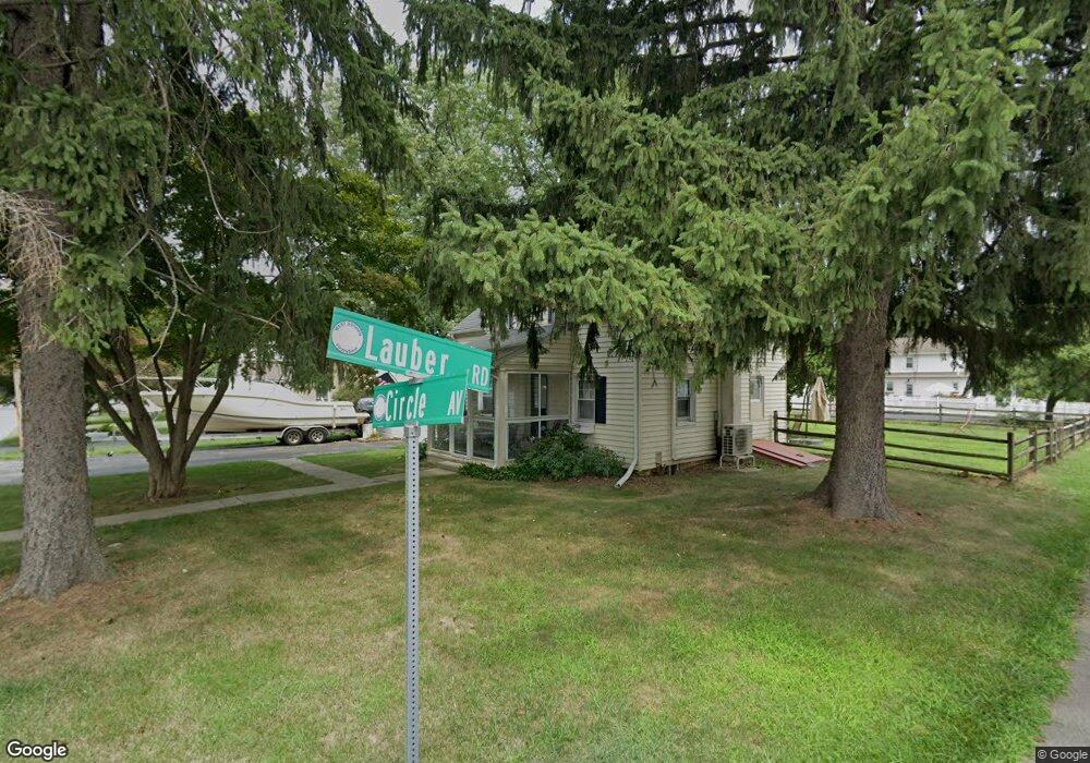
19 Circle Ave West Chester, PA 19382
Estimated Value: $452,000 - $499,000
3
Beds
2
Baths
1,225
Sq Ft
$388/Sq Ft
Est. Value
About This Home
This home is located at 19 Circle Ave, West Chester, PA 19382 and is currently estimated at $474,769, approximately $387 per square foot. 19 Circle Ave is a home located in Chester County with nearby schools including Fern Hill Elementary School, J.R. Fugett Middle School, and West Chester East High School.
Ownership History
Date
Name
Owned For
Owner Type
Purchase Details
Closed on
Feb 27, 2017
Sold by
Scanlon Mark S and Scanlon Katherine A
Bought by
Scanlon Mark S and Scanlon Katherine A
Current Estimated Value
Home Financials for this Owner
Home Financials are based on the most recent Mortgage that was taken out on this home.
Original Mortgage
$187,000
Outstanding Balance
$95,522
Interest Rate
4.19%
Mortgage Type
New Conventional
Estimated Equity
$379,247
Purchase Details
Closed on
Mar 28, 2008
Sold by
Bortree Susan J and Bortree Dale Patricia
Bought by
Scanlon Mark S and Greene Katherine A
Home Financials for this Owner
Home Financials are based on the most recent Mortgage that was taken out on this home.
Original Mortgage
$242,706
Interest Rate
6.06%
Mortgage Type
Purchase Money Mortgage
Create a Home Valuation Report for This Property
The Home Valuation Report is an in-depth analysis detailing your home's value as well as a comparison with similar homes in the area
Home Values in the Area
Average Home Value in this Area
Purchase History
| Date | Buyer | Sale Price | Title Company |
|---|---|---|---|
| Scanlon Mark S | -- | None Available | |
| Scanlon Mark S | $259,900 | None Available |
Source: Public Records
Mortgage History
| Date | Status | Borrower | Loan Amount |
|---|---|---|---|
| Open | Scanlon Mark S | $187,000 | |
| Closed | Scanlon Mark S | $242,706 |
Source: Public Records
Tax History Compared to Growth
Tax History
| Year | Tax Paid | Tax Assessment Tax Assessment Total Assessment is a certain percentage of the fair market value that is determined by local assessors to be the total taxable value of land and additions on the property. | Land | Improvement |
|---|---|---|---|---|
| 2025 | $3,323 | $114,630 | $42,410 | $72,220 |
| 2024 | $3,323 | $114,630 | $42,410 | $72,220 |
| 2023 | $3,323 | $114,630 | $42,410 | $72,220 |
| 2022 | $3,280 | $114,630 | $42,410 | $72,220 |
| 2021 | $3,234 | $114,630 | $42,410 | $72,220 |
| 2020 | $3,213 | $114,630 | $42,410 | $72,220 |
| 2019 | $3,169 | $114,630 | $42,410 | $72,220 |
| 2018 | $3,101 | $114,630 | $42,410 | $72,220 |
| 2017 | $3,034 | $114,630 | $42,410 | $72,220 |
| 2016 | $2,559 | $114,630 | $42,410 | $72,220 |
| 2015 | $2,559 | $114,630 | $42,410 | $72,220 |
| 2014 | $2,559 | $114,630 | $42,410 | $72,220 |
Source: Public Records
Map
Nearby Homes
- 852 Cedar Ave
- 915 W Chester Pike
- 113 Peabody Way
- 231 S Adams St
- 344 E Barnard St
- 342 E Barnard St
- 335 S Adams St
- 238 E Gay St Unit 2
- 201 Seal Ln
- 305 S Matlack St
- 113 E Miner St
- 738 S Matlack St
- 435 S High St
- 904 Sylvania Ln
- 22 W Miner St
- 723 Hillside Dr
- 1114 Stoneybrook Ln
- 210 Spring Ln
- 735 Hillside Dr
- 734 Marshall Dr