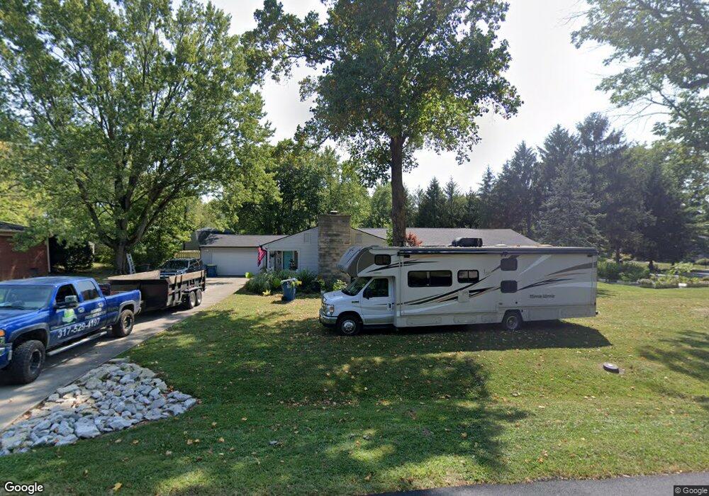
19 Circle Dr Carmel, IN 46032
West Carmel NeighborhoodEstimated Value: $391,000 - $655,000
3
Beds
3
Baths
2,399
Sq Ft
$207/Sq Ft
Est. Value
About This Home
This home is located at 19 Circle Dr, Carmel, IN 46032 and is currently estimated at $496,510, approximately $206 per square foot. 19 Circle Dr is a home located in Hamilton County with nearby schools including Carmel Elementary School, Carmel Middle School, and Carmel High School.
Ownership History
Date
Name
Owned For
Owner Type
Purchase Details
Closed on
Apr 1, 2010
Sold by
Timothy L & Linda L Mylin Revocable Trus and Mylin Timothy L
Bought by
Cadwell Ryan S and Cadwell Lanell
Current Estimated Value
Home Financials for this Owner
Home Financials are based on the most recent Mortgage that was taken out on this home.
Original Mortgage
$170,848
Outstanding Balance
$111,265
Interest Rate
4.87%
Mortgage Type
FHA
Estimated Equity
$385,245
Purchase Details
Closed on
Aug 31, 2004
Sold by
Mylin Timothy L and Mylin Linda L
Bought by
Mylin Timothy L and Mylin Linda L
Home Financials for this Owner
Home Financials are based on the most recent Mortgage that was taken out on this home.
Original Mortgage
$184,000
Interest Rate
5.93%
Mortgage Type
New Conventional
Purchase Details
Closed on
Jul 3, 2002
Sold by
Mylin Timothy L and Mylin Linda L
Bought by
Mylin Timothy L and Mylin Linda L
Create a Home Valuation Report for This Property
The Home Valuation Report is an in-depth analysis detailing your home's value as well as a comparison with similar homes in the area
Home Values in the Area
Average Home Value in this Area
Purchase History
| Date | Buyer | Sale Price | Title Company |
|---|---|---|---|
| Cadwell Ryan S | -- | None Available | |
| Mylin Timothy L | -- | -- | |
| Mylin Timothy L | -- | First American Title Ins Co | |
| Mylin Timothy L | -- | -- |
Source: Public Records
Mortgage History
| Date | Status | Borrower | Loan Amount |
|---|---|---|---|
| Open | Cadwell Ryan S | $170,848 | |
| Previous Owner | Mylin Timothy L | $184,000 |
Source: Public Records
Tax History
| Year | Tax Paid | Tax Assessment Tax Assessment Total Assessment is a certain percentage of the fair market value that is determined by local assessors to be the total taxable value of land and additions on the property. | Land | Improvement |
|---|---|---|---|---|
| 2024 | $2,206 | $281,400 | $63,500 | $217,900 |
| 2023 | $2,206 | $204,600 | $63,500 | $141,100 |
| 2022 | $2,218 | $190,500 | $55,700 | $134,800 |
| 2021 | $2,045 | $178,700 | $55,700 | $123,000 |
| 2020 | $1,984 | $178,700 | $55,700 | $123,000 |
| 2019 | $1,967 | $178,700 | $55,700 | $123,000 |
| 2018 | $1,759 | $176,400 | $43,900 | $132,500 |
| 2017 | $1,737 | $175,400 | $43,900 | $131,500 |
| 2016 | $1,711 | $172,100 | $43,900 | $128,200 |
| 2014 | $1,597 | $169,500 | $43,900 | $125,600 |
| 2013 | $1,597 | $171,600 | $43,900 | $127,700 |
Source: Public Records
Map
Nearby Homes
- 233 Boulder Ct
- 429 Thornberry Dr
- 210 Rockberry Dr
- 13727 Offutt Dr
- 232 John St
- 851 Ashdown Ln
- 445 Mariposa Trail
- 994 2nd Ave NW
- 124 9th St NW
- 781 1st Ave NW
- 792 Grace Dr
- 992 Bard Ln
- 984 Bard Ln
- 610 N Rangeline Rd
- 874 Rosalind Place
- 14476 Dublin Dr
- 2645 Faust Ct
- 44 Rogers Rd
- 428 Neuman Way
- 2945 Millgate Dr
Your Personal Tour Guide
Ask me questions while you tour the home.