19 Coles Cove Bar Harbor, ME 04609
Estimated Value: $570,000 - $850,000
1
Bed
2
Baths
980
Sq Ft
$738/Sq Ft
Est. Value
About This Home
This home is located at 19 Coles Cove, Bar Harbor, ME 04609 and is currently estimated at $723,007, approximately $737 per square foot. 19 Coles Cove is a home located in Hancock County with nearby schools including Conners-Emerson School and Mt. Desert Island High School.
Ownership History
Date
Name
Owned For
Owner Type
Purchase Details
Closed on
Jul 2, 2013
Sold by
Smith Alice M
Bought by
Fay John and Fay Cameron
Current Estimated Value
Home Financials for this Owner
Home Financials are based on the most recent Mortgage that was taken out on this home.
Original Mortgage
$283,500
Outstanding Balance
$202,527
Interest Rate
3.51%
Mortgage Type
New Conventional
Estimated Equity
$520,480
Create a Home Valuation Report for This Property
The Home Valuation Report is an in-depth analysis detailing your home's value as well as a comparison with similar homes in the area
Home Values in the Area
Average Home Value in this Area
Purchase History
| Date | Buyer | Sale Price | Title Company |
|---|---|---|---|
| Fay John | -- | -- |
Source: Public Records
Mortgage History
| Date | Status | Borrower | Loan Amount |
|---|---|---|---|
| Open | Fay John | $283,500 |
Source: Public Records
Tax History Compared to Growth
Tax History
| Year | Tax Paid | Tax Assessment Tax Assessment Total Assessment is a certain percentage of the fair market value that is determined by local assessors to be the total taxable value of land and additions on the property. | Land | Improvement |
|---|---|---|---|---|
| 2024 | $8,194 | $816,100 | $641,200 | $174,900 |
| 2023 | $7,084 | $816,100 | $641,200 | $174,900 |
| 2022 | $6,436 | $690,600 | $542,600 | $148,000 |
| 2021 | $6,114 | $627,700 | $493,200 | $134,500 |
| 2020 | $5,437 | $456,900 | $332,000 | $124,900 |
| 2019 | $324 | $452,400 | $328,700 | $123,700 |
| 2018 | $333 | $452,400 | $328,700 | $123,700 |
| 2017 | $4,958 | $452,400 | $328,700 | $123,700 |
| 2016 | $4,854 | $452,400 | $328,700 | $123,700 |
| 2015 | $4,791 | $452,400 | $328,700 | $123,700 |
| 2014 | $4,624 | $452,400 | $328,700 | $123,700 |
| 2012 | $4,452 | $452,400 | $328,700 | $123,700 |
Source: Public Records
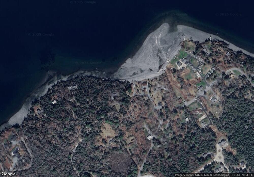
Map
Nearby Homes
- 102 Degregoire Park Unit 2
- 9 Byrnes Rd
- 118 Old Bar Harbor Rd
- 55 Owls Nest Ln
- 791 Lamoine Beach Rd
- 782 Lamoine Beach Rd
- Lot #10 North Rd
- 18 Hamor Ln
- 2 Lookout Point Rd
- 71 Bay View Dr
- 694 Lamoine Beach Rd
- 10 Harbor Lights Rd
- Lot 001 Crooked Rd
- 28 Winding Brook Rd
- M1 L81-11 Asa's Ln
- 11 Ocean Bridge Blvd
- M1 L81-11 Asa's Ln
- 29 Equity Ln
- 34 Frenchmans Hill E
- Lot 4 Belle Grande Dr
- 68 Bunchberry Rd
- 13 Coles Cove
- 5 Coles Cove
- 215 Sand Point Rd
- 13 Forrest Boyer Rd
- 21 Watch Hill
- 195 Sand Point Rd
- 192 Sand Point Rd
- 192 Sand Point Rd Unit 1
- 0 Sand Point Rd
- 223 Sand Point Rd
- 208 Sand Point Rd
- 200 Sand Point Rd
- 181 Sand Point Rd
- 15 Forrest Boyer Rd
- 212 Sand Point Rd
- 9 Bishops Way
- 7 Bishops Way
- Lot 2 Phantom Brook Rd
- 11 Ovens Ln