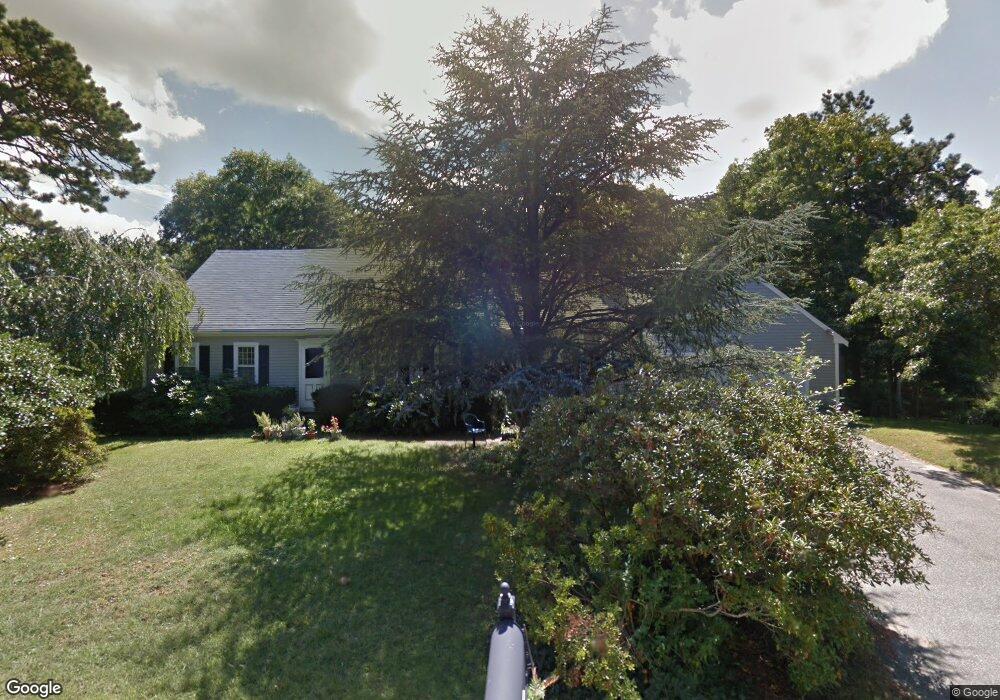
19 Conant Ln Centerville, MA 02632
Centerville NeighborhoodEstimated Value: $691,000 - $750,000
4
Beds
2
Baths
2,054
Sq Ft
$348/Sq Ft
Est. Value
About This Home
This home is located at 19 Conant Ln, Centerville, MA 02632 and is currently estimated at $715,664, approximately $348 per square foot. 19 Conant Ln is a home located in Barnstable County with nearby schools including Barnstable United Elementary School, Centerville Elementary School, and Barnstable Intermediate School.
Ownership History
Date
Name
Owned For
Owner Type
Purchase Details
Closed on
Aug 27, 2010
Sold by
Fnma
Bought by
Halford Noreen E
Current Estimated Value
Purchase Details
Closed on
Apr 15, 2010
Sold by
Davidson Una E and Davidson Abbott R
Bought by
Federal National Mortgage Association
Purchase Details
Closed on
May 18, 2007
Sold by
Davidson Abbott R and Davidson Una E
Bought by
Davidson Abbott R
Purchase Details
Closed on
Nov 4, 1997
Sold by
Emile H Guertin Ret
Bought by
Davidson Abbott R
Home Financials for this Owner
Home Financials are based on the most recent Mortgage that was taken out on this home.
Original Mortgage
$115,000
Interest Rate
7.31%
Mortgage Type
Purchase Money Mortgage
Create a Home Valuation Report for This Property
The Home Valuation Report is an in-depth analysis detailing your home's value as well as a comparison with similar homes in the area
Home Values in the Area
Average Home Value in this Area
Purchase History
We collect this data history from publicly available records. To have your information removed, we recommend requesting removal directly through your county’s website.
| Date | Buyer | Sale Price | Title Company |
|---|---|---|---|
| Halford Noreen E | $275,000 | -- | |
| Federal National Mortgage Association | $329,653 | -- | |
| Davidson Abbott R | -- | -- | |
| Davidson Abbott R | $155,000 | -- |
Source: Public Records
Mortgage History
We collect this data history from publicly available records. To have your information removed, we recommend requesting removal directly through your county’s website.
| Date | Status | Borrower | Loan Amount |
|---|---|---|---|
| Previous Owner | Davidson Abbott R | $115,000 |
Source: Public Records
Tax History
| Year | Tax Paid | Tax Assessment Tax Assessment Total Assessment is a certain percentage of the fair market value that is determined by local assessors to be the total taxable value of land and additions on the property. | Land | Improvement |
|---|---|---|---|---|
| 2025 | $4,977 | $615,200 | $152,200 | $463,000 |
| 2024 | $4,577 | $586,000 | $152,200 | $433,800 |
| 2023 | $4,375 | $524,600 | $138,400 | $386,200 |
| 2022 | $4,171 | $432,700 | $102,500 | $330,200 |
| 2021 | $4,085 | $389,400 | $102,500 | $286,900 |
| 2020 | $4,125 | $376,400 | $102,500 | $273,900 |
| 2019 | $3,914 | $347,000 | $102,500 | $244,500 |
| 2018 | $3,622 | $322,800 | $107,900 | $214,900 |
| 2017 | $3,364 | $312,600 | $107,900 | $204,700 |
| 2016 | $3,416 | $313,400 | $108,700 | $204,700 |
| 2015 | $3,345 | $308,300 | $105,400 | $202,900 |
Source: Public Records
Map
Nearby Homes
- 17 Outpost Ln
- 900 Old Stage Rd
- 37 Ansel Howland Rd
- 146 Hillside Dr
- 253 Gleneagle Dr
- 3 Thoreau Dr
- 73 Tern Ln
- 113 Captain Jacs Rd
- 66 Tern Ln
- 136 Sheaffer Rd
- 38 White Oak Trail
- 172 Skunknet Rd
- 1020 Old Falmouth Rd
- 169 Cedric Rd
- 74 Saddler Ln
- 988 Old Falmouth Rd
- 16 Morgan Way
- 23 Baird Way
- 53 Hadrada Ln
- 74 Lakeview Dr
- 29 Conant Ln
- 61 Padlock Ln
- 60 Hitching Post Ln
- 74 Hitching Post Ln
- 20 Conant Ln
- 77 Padlock Ln
- 48 Hitching Post Ln
- 31 Conant Ln
- 83 Three Ponds Dr
- 65 Three Ponds Dr
- 48 Padlock Ln
- 55 Three Ponds Dr
- 29 Padlock Ln
- 60 Padlock Ln
- 70 Padlock Ln
- 36 Hitching Post Ln
- 43 Three Ponds Dr
- 59 Hitching Post Ln
- 81 Three Ponds Dr
- 49 Hitching Post Ln
Your Personal Tour Guide
Ask me questions while you tour the home.