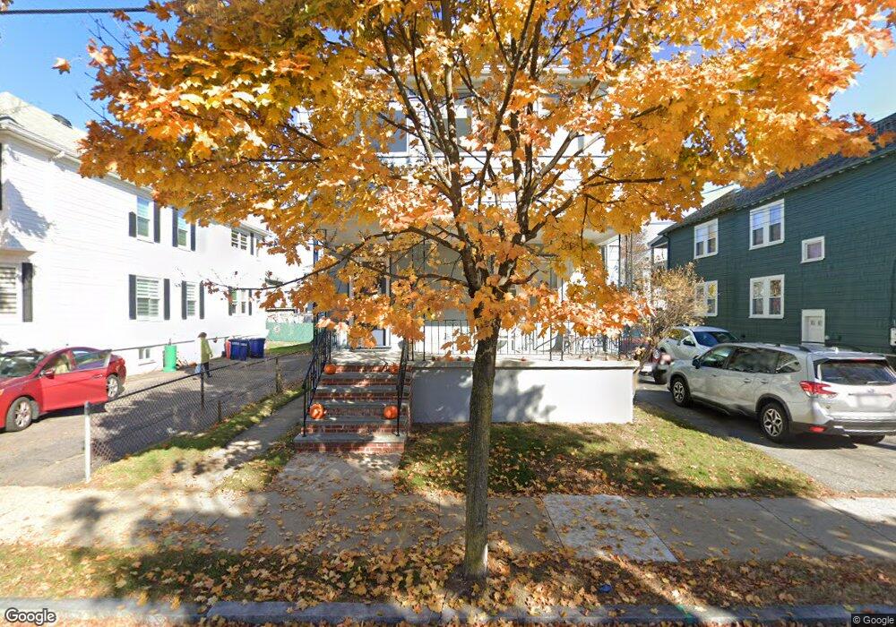
19 Cornell St Unit 1 Arlington, MA 02474
East Arlington NeighborhoodEstimated Value: $1,305,000 - $1,376,997
2
Beds
1
Bath
1,200
Sq Ft
$1,120/Sq Ft
Est. Value
About This Home
This home is located at 19 Cornell St Unit 1, Arlington, MA 02474 and is currently estimated at $1,343,999, approximately $1,119 per square foot. 19 Cornell St Unit 1 is a home located in Middlesex County with nearby schools including Thompson School, Ottoson Middle School, and Arlington High School.
Ownership History
Date
Name
Owned For
Owner Type
Purchase Details
Closed on
Oct 8, 2021
Sold by
Tsitsopoulos George A and Tsitsopoulos Aristea G
Bought by
19 Cornell Street Rt and Tsitsopoulos
Current Estimated Value
Purchase Details
Closed on
Sep 25, 1969
Bought by
Tsitsopoulos George A and Tsitsopoulos Aristea G
Create a Home Valuation Report for This Property
The Home Valuation Report is an in-depth analysis detailing your home's value as well as a comparison with similar homes in the area
Home Values in the Area
Average Home Value in this Area
Purchase History
| Date | Buyer | Sale Price | Title Company |
|---|---|---|---|
| 19 Cornell Street Rt | -- | None Available | |
| Tsitsopoulos George A | $27,500 | -- |
Source: Public Records
Mortgage History
| Date | Status | Borrower | Loan Amount |
|---|---|---|---|
| Previous Owner | Tsitsopoulos George A | $50,000 |
Source: Public Records
Tax History
| Year | Tax Paid | Tax Assessment Tax Assessment Total Assessment is a certain percentage of the fair market value that is determined by local assessors to be the total taxable value of land and additions on the property. | Land | Improvement |
|---|---|---|---|---|
| 2025 | $11,954 | $1,109,900 | $577,200 | $532,700 |
| 2024 | $11,052 | $1,043,600 | $549,400 | $494,200 |
| 2023 | $11,098 | $990,000 | $460,600 | $529,400 |
| 2022 | $11,063 | $968,700 | $444,000 | $524,700 |
| 2021 | $10,720 | $945,300 | $444,000 | $501,300 |
| 2020 | $10,465 | $946,200 | $444,000 | $502,200 |
| 2019 | $9,562 | $849,200 | $471,800 | $377,400 |
| 2018 | $4,570 | $721,500 | $344,100 | $377,400 |
| 2017 | $8,217 | $654,200 | $299,700 | $354,500 |
| 2016 | $7,805 | $609,800 | $255,300 | $354,500 |
| 2015 | $7,679 | $566,700 | $249,800 | $316,900 |
Source: Public Records
Map
Nearby Homes
- 27-29 Dartmouth St Unit 1
- 53 Warren St Unit 53
- 52 Warren St
- 18 Wellesley Rd
- 155-157 Palmer St
- 199 Everett St Unit 199
- 61-63 Foster St
- 120 Broadway
- 165-167 Franklin St Unit 1
- 6 Gordon Rd
- 68-70 Hamlet St
- 145 Jerome St
- 44 Sherman St
- 111 Sharon St Unit 1
- 31 Sharon St
- 89 Cleveland St Unit 89
- 15 Medford St Unit 4
- 454-460 Massachusetts Ave
- 0 Jerome St Unit 72734260
- 47 Holton St
- 19 Cornell St
- 23-25 Cornell St
- 23 Cornell St Unit 25
- 15 Cornell St
- 11 Cornell St
- 11 Cornell St Unit 2
- 11 Cornell St Unit 1
- 27 Cornell St Unit 1
- 27 Cornell St Unit 29
- 27-29 Cornell St Unit 27
- 22 Dartmouth St Unit 22
- 22 Dartmouth St Unit 2
- 20 Dartmouth St Unit 1
- 20 Dartmouth St Unit 22
- 20 Dartmouth St Unit 20
- 16 Dartmouth St
- 24 Dartmouth St Unit 26
- 20 Cornell St
- 20 Cornell St Unit 2
- 20 Cornell St Unit 1
Your Personal Tour Guide
Ask me questions while you tour the home.