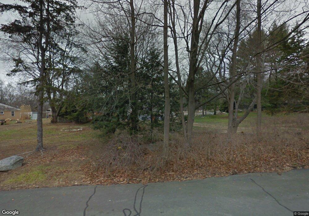
19 Cow Path Dr Stamford, CT 06902
Westover NeighborhoodEstimated Value: $442,000 - $949,000
2
Beds
2
Baths
1,647
Sq Ft
$440/Sq Ft
Est. Value
About This Home
This home is located at 19 Cow Path Dr, Stamford, CT 06902 and is currently estimated at $725,396, approximately $440 per square foot. 19 Cow Path Dr is a home located in Fairfield County with nearby schools including Roxbury School, Cloonan School, and Westhill High School.
Ownership History
Date
Name
Owned For
Owner Type
Purchase Details
Closed on
Dec 15, 2009
Sold by
Stashenko Doris
Bought by
Stashenko James
Current Estimated Value
Purchase Details
Closed on
Jul 29, 1999
Sold by
Young Audrey
Bought by
Lovas Elizabeth
Home Financials for this Owner
Home Financials are based on the most recent Mortgage that was taken out on this home.
Original Mortgage
$108,800
Interest Rate
7%
Purchase Details
Closed on
Nov 1, 1991
Sold by
Skiba Sophie
Bought by
Mallozzi Pasquale and Mallozzi Teresa
Home Financials for this Owner
Home Financials are based on the most recent Mortgage that was taken out on this home.
Original Mortgage
$80,000
Interest Rate
8.9%
Mortgage Type
Unknown
Create a Home Valuation Report for This Property
The Home Valuation Report is an in-depth analysis detailing your home's value as well as a comparison with similar homes in the area
Home Values in the Area
Average Home Value in this Area
Purchase History
| Date | Buyer | Sale Price | Title Company |
|---|---|---|---|
| Stashenko James | -- | -- | |
| Lovas Elizabeth | $136,000 | -- | |
| Mallozzi Pasquale | $220,000 | -- |
Source: Public Records
Mortgage History
| Date | Status | Borrower | Loan Amount |
|---|---|---|---|
| Previous Owner | Mallozzi Pasquale | $108,800 | |
| Previous Owner | Mallozzi Pasquale | $35,000 | |
| Previous Owner | Mallozzi Pasquale | $80,000 |
Source: Public Records
Tax History Compared to Growth
Tax History
| Year | Tax Paid | Tax Assessment Tax Assessment Total Assessment is a certain percentage of the fair market value that is determined by local assessors to be the total taxable value of land and additions on the property. | Land | Improvement |
|---|---|---|---|---|
| 2025 | $9,982 | $428,960 | $301,900 | $127,060 |
| 2024 | $9,763 | $428,960 | $301,900 | $127,060 |
| 2023 | $10,492 | $428,960 | $301,900 | $127,060 |
| 2022 | $8,828 | $335,290 | $228,860 | $106,430 |
| 2021 | $103,494 | $335,290 | $228,860 | $106,430 |
| 2020 | $8,493 | $335,290 | $228,860 | $106,430 |
| 2019 | $104,298 | $335,290 | $228,860 | $106,430 |
| 2018 | $8,198 | $335,290 | $228,860 | $106,430 |
| 2017 | $8,542 | $317,680 | $215,400 | $102,280 |
| 2016 | $7,885 | $317,680 | $215,400 | $102,280 |
| 2015 | $7,669 | $317,680 | $215,400 | $102,280 |
| 2014 | $7,405 | $317,680 | $215,400 | $102,280 |
Source: Public Records
Map
Nearby Homes
- 14 Constance Ln
- 57 Old Mill Ln
- 43 Constance Ln
- 33 Mill Brook Rd W
- 100 Old Mill Ln
- 53 Pakenmer Rd
- 0 June Rd Unit LOT 1 24118127
- 0 June Rd Unit 3 170606008
- 107 June Rd
- 151 June Rd
- 51 Northwood Ln
- 21 Guinea Rd
- 25 Cogswell Ln
- 34 Carrington Dr
- 10 Carissa Ln
- 25 Wire Mill Rd
- 411 Stanwich Rd
- 24 Old Orchard Ln
- 160 Wire Mill Rd
- 226 Cedar Heights Rd
- 19 Cow Path Dr
- 22 Cow Path Dr
- 35 Cow Path Dr
- 360 Thunder Hill Dr
- 38 Cow Path Dr
- 14 Cow Path Dr
- 601 Roxbury Rd
- 346 Thunder Hill Dr
- 52 Cow Path Dr
- 571 Roxbury Rd
- 53 Cow Path Dr
- 324 Thunder Hill Dr
- 563 Roxbury Rd
- 1276 Westover Rd
- 562 Roxbury Rd
- 309 Thunder Hill Dr
- 66 Cow Path Dr
- 97 Brookhollow Ln
- 66 Thunder Hill Dr
- 552 Roxbury Rd
