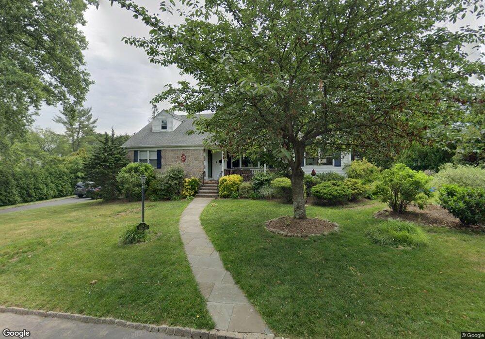
19 Cromwell Pkwy Summit, NJ 07901
Estimated Value: $908,632 - $1,161,000
--
Bed
--
Bath
1,192
Sq Ft
$890/Sq Ft
Est. Value
About This Home
This home is located at 19 Cromwell Pkwy, Summit, NJ 07901 and is currently estimated at $1,061,408, approximately $890 per square foot. 19 Cromwell Pkwy is a home located in Union County with nearby schools including L C Johnson Summit Middle School, Summit Sr High School, and Oak Knoll School of the Holy Child.
Ownership History
Date
Name
Owned For
Owner Type
Purchase Details
Closed on
Nov 5, 1997
Sold by
Kimball Peter D and Kimball Juliana F
Bought by
Stewart John A and Stewart Nellie J
Current Estimated Value
Home Financials for this Owner
Home Financials are based on the most recent Mortgage that was taken out on this home.
Original Mortgage
$240,000
Outstanding Balance
$39,283
Interest Rate
7.25%
Estimated Equity
$1,022,125
Purchase Details
Closed on
Nov 3, 1994
Sold by
Freeman Frank S and Freeman John Starr
Bought by
Freeman Frank S and Freeman John Starr
Create a Home Valuation Report for This Property
The Home Valuation Report is an in-depth analysis detailing your home's value as well as a comparison with similar homes in the area
Home Values in the Area
Average Home Value in this Area
Purchase History
| Date | Buyer | Sale Price | Title Company |
|---|---|---|---|
| Stewart John A | $295,000 | -- | |
| Freeman Frank S | -- | -- |
Source: Public Records
Mortgage History
| Date | Status | Borrower | Loan Amount |
|---|---|---|---|
| Open | Stewart John A | $240,000 |
Source: Public Records
Tax History Compared to Growth
Tax History
| Year | Tax Paid | Tax Assessment Tax Assessment Total Assessment is a certain percentage of the fair market value that is determined by local assessors to be the total taxable value of land and additions on the property. | Land | Improvement |
|---|---|---|---|---|
| 2025 | $13,395 | $307,500 | $161,300 | $146,200 |
| 2024 | $13,306 | $307,500 | $161,300 | $146,200 |
| 2023 | $13,306 | $307,500 | $161,300 | $146,200 |
| 2022 | $13,170 | $307,500 | $161,300 | $146,200 |
| 2021 | $13,275 | $307,500 | $161,300 | $146,200 |
| 2020 | $13,407 | $307,500 | $161,300 | $146,200 |
| 2019 | $13,422 | $307,500 | $161,300 | $146,200 |
| 2018 | $13,336 | $307,500 | $161,300 | $146,200 |
| 2017 | $13,422 | $307,500 | $161,300 | $146,200 |
| 2016 | $13,226 | $307,500 | $161,300 | $146,200 |
| 2015 | $12,967 | $307,500 | $161,300 | $146,200 |
| 2014 | $12,632 | $307,500 | $161,300 | $146,200 |
Source: Public Records
Map
Nearby Homes
- 33 Cromwell Pkwy
- 27 Beekman Rd
- 709 Springfield Ave Unit 4
- 709 Springfield Ave Unit 3
- 166 Colonial Rd
- 32 Locust Dr
- 390 Morris Ave Unit 35
- 17 Valley View Ave
- 49 Oakland Place
- 43 Passaic Ave
- 67 Tulip St
- 475 Morris Ave
- 16 Lowell Ave
- 22 Bedford Rd
- 7 Carleen Ct
- 34 Ashland Rd
- 19 Division Ave
- 149 Ashland Rd
- 109 Mountain Ave
- 16 Beauvoir Ave
- 6 Blair Place
- 23 Cromwell Pkwy
- 1 Blair Place
- 7 Dorset Ln
- 22 Cromwell Pkwy
- 18 Cromwell Pkwy
- 5 Blair Place
- 26 Cromwell Pkwy
- 11 Dorset Ln
- 10 Blair Place
- 14 Cromwell Pkwy
- 11 Cromwell Pkwy
- 28 Cromwell Pkwy
- 9 Blair Place
- 11 Blair Place
- 31 Fairview Ave
- 35 Fairview Ave
- 13 Dorset Ln
- 29 Cromwell Pkwy
- 20 Nassau Dr