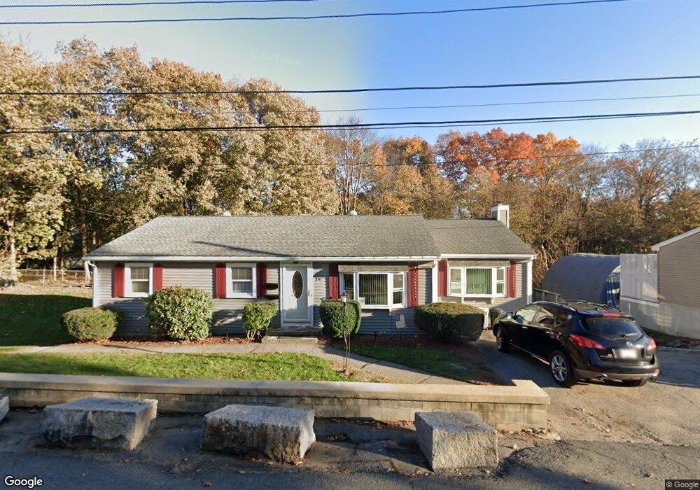
19 Cummings Ave Woburn, MA 01801
Downtown Woburn NeighborhoodEstimated Value: $486,000 - $780,000
4
Beds
2
Baths
1,416
Sq Ft
$477/Sq Ft
Est. Value
About This Home
This home is located at 19 Cummings Ave, Woburn, MA 01801 and is currently estimated at $675,971, approximately $477 per square foot. 19 Cummings Ave is a home located in Middlesex County with nearby schools including Malcolm White Elementary School, John F. Kennedy Middle School, and Woburn High School.
Ownership History
Date
Name
Owned For
Owner Type
Purchase Details
Closed on
Jan 21, 2014
Sold by
Luther Lisa M
Bought by
Luther Sandra M and Luther Roy T
Current Estimated Value
Purchase Details
Closed on
Aug 20, 2013
Sold by
Luther Roy T and Luther Sandra M
Bought by
Luther Lisa M
Create a Home Valuation Report for This Property
The Home Valuation Report is an in-depth analysis detailing your home's value as well as a comparison with similar homes in the area
Home Values in the Area
Average Home Value in this Area
Purchase History
| Date | Buyer | Sale Price | Title Company |
|---|---|---|---|
| Luther Sandra M | -- | -- | |
| Luther Sandra M | -- | -- | |
| Luther Lisa M | -- | -- | |
| Luther Lisa M | -- | -- |
Source: Public Records
Mortgage History
| Date | Status | Borrower | Loan Amount |
|---|---|---|---|
| Previous Owner | Luther Lisa M | $130,000 |
Source: Public Records
Tax History Compared to Growth
Tax History
| Year | Tax Paid | Tax Assessment Tax Assessment Total Assessment is a certain percentage of the fair market value that is determined by local assessors to be the total taxable value of land and additions on the property. | Land | Improvement |
|---|---|---|---|---|
| 2025 | $5,282 | $618,500 | $334,700 | $283,800 |
| 2024 | $4,856 | $602,500 | $318,700 | $283,800 |
| 2023 | $4,879 | $560,800 | $289,800 | $271,000 |
| 2022 | $4,833 | $517,400 | $252,000 | $265,400 |
| 2021 | $4,715 | $505,400 | $240,000 | $265,400 |
| 2020 | $4,373 | $469,200 | $240,000 | $229,200 |
| 2019 | $3,863 | $406,600 | $228,600 | $178,000 |
| 2018 | $3,692 | $373,300 | $209,700 | $163,600 |
| 2017 | $3,544 | $356,500 | $199,800 | $156,700 |
| 2016 | $3,451 | $343,400 | $186,700 | $156,700 |
| 2015 | $3,368 | $331,200 | $174,500 | $156,700 |
| 2014 | $3,458 | $331,200 | $174,500 | $156,700 |
Source: Public Records
Map
Nearby Homes
- 15 Cummings Ave
- 15 Cummings Ave Unit 2
- 24 Cummings Ave
- 47 Chestnut St Unit R
- 47 Chestnut St
- 00 Seaman Robert H Doherty Rd
- 13 Cummings Ave
- 44 Chestnut St
- 16 Cummings Ave Unit 1
- 14 Cummings Ave Unit 1
- 60 Kilby St
- 25 Middlesex St
- 62 Kilby St
- 58 Kilby St
- 56 Kilby St
- 1 Middlesex Dr
- 66 Kilby St
- 45 Chestnut St
- 54 Kilby St
- 11 Cummings Ave