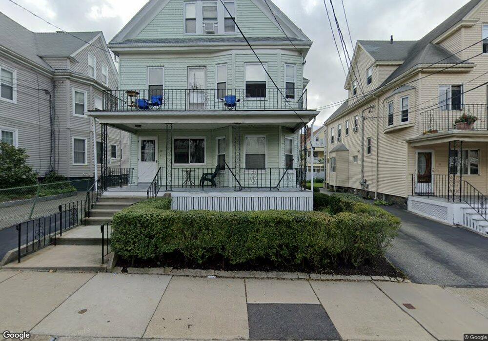
19 Curtis St Somerville, MA 02144
West Somerville NeighborhoodEstimated Value: $1,390,000 - $1,916,813
7
Beds
4
Baths
3,320
Sq Ft
$469/Sq Ft
Est. Value
About This Home
This home is located at 19 Curtis St, Somerville, MA 02144 and is currently estimated at $1,557,453, approximately $469 per square foot. 19 Curtis St is a home located in Middlesex County with nearby schools including Somerville High School, International School of Boston, and St. Clement Elementary School.
Ownership History
Date
Name
Owned For
Owner Type
Purchase Details
Closed on
Jan 29, 2021
Sold by
Morgado Dolores and Goncalves Maria J
Bought by
Morgado Dolores and Morgado Daciel
Current Estimated Value
Home Financials for this Owner
Home Financials are based on the most recent Mortgage that was taken out on this home.
Original Mortgage
$400,000
Outstanding Balance
$352,979
Interest Rate
2.6%
Mortgage Type
New Conventional
Estimated Equity
$1,204,474
Create a Home Valuation Report for This Property
The Home Valuation Report is an in-depth analysis detailing your home's value as well as a comparison with similar homes in the area
Home Values in the Area
Average Home Value in this Area
Purchase History
| Date | Buyer | Sale Price | Title Company |
|---|---|---|---|
| Morgado Dolores | -- | None Available |
Source: Public Records
Mortgage History
| Date | Status | Borrower | Loan Amount |
|---|---|---|---|
| Open | Morgado Dolores | $400,000 |
Source: Public Records
Tax History
| Year | Tax Paid | Tax Assessment Tax Assessment Total Assessment is a certain percentage of the fair market value that is determined by local assessors to be the total taxable value of land and additions on the property. | Land | Improvement |
|---|---|---|---|---|
| 2025 | $15,983 | $1,465,000 | $763,300 | $701,700 |
| 2024 | $15,280 | $1,452,500 | $763,300 | $689,200 |
| 2023 | $14,531 | $1,405,300 | $763,300 | $642,000 |
| 2022 | $13,681 | $1,343,900 | $727,000 | $616,900 |
| 2021 | $13,290 | $1,304,200 | $721,700 | $582,500 |
| 2020 | $12,815 | $1,270,100 | $722,100 | $548,000 |
| 2019 | $12,127 | $1,127,000 | $657,300 | $469,700 |
| 2018 | $11,160 | $986,700 | $597,600 | $389,100 |
| 2017 | $10,943 | $937,700 | $563,800 | $373,900 |
| 2016 | $10,574 | $843,900 | $503,400 | $340,500 |
Source: Public Records
Map
Nearby Homes
- 106 Electric Ave Unit 3
- 69 Electric Ave Unit 3
- 1188 Broadway Unit 403
- 42 Packard Ave Unit 42
- 30 Clarendon Ave
- 55 Packard Ave Unit 1
- 183 Powder House Blvd
- 202 Powder House Blvd Unit 1
- 202 Powder House Blvd Unit 2
- 14 Farragut Ave Unit 1
- 1004 Broadway Unit 3
- 233 Powder House Blvd
- 6 Hamilton Rd Unit 6
- 83 Conwell Ave Unit 1
- 34 Elmwood St Unit 2
- 123 W Adams St Unit 1
- 12 Upland Rd
- 2 Gold Star Ct
- 25 Upland Rd
- 3 Tannery Brook Row Unit 11
- 19 Curtis St Unit 1
- 19 Curtis St Unit 2
- 15 Curtis St
- 15 Curtis St Unit 1
- 21 Curtis St
- 9 Curtis St
- 9 Curtis St Unit PKG
- 9 Curtis St Unit 3
- 9 Curtis St Unit 1
- 9 Curtis St Unit 2
- 23 Curtis St
- 23 Curtis St Unit 1
- 23 Curtis St Unit 2
- 16 Westminster St
- 20 Westminster St
- 20 Westminster St Unit 1
- 106 Electric Ave
- 14 Westminster St Unit 1
- 14 Westminster St Unit 14
- 14 Westminster St Unit 2
Your Personal Tour Guide
Ask me questions while you tour the home.