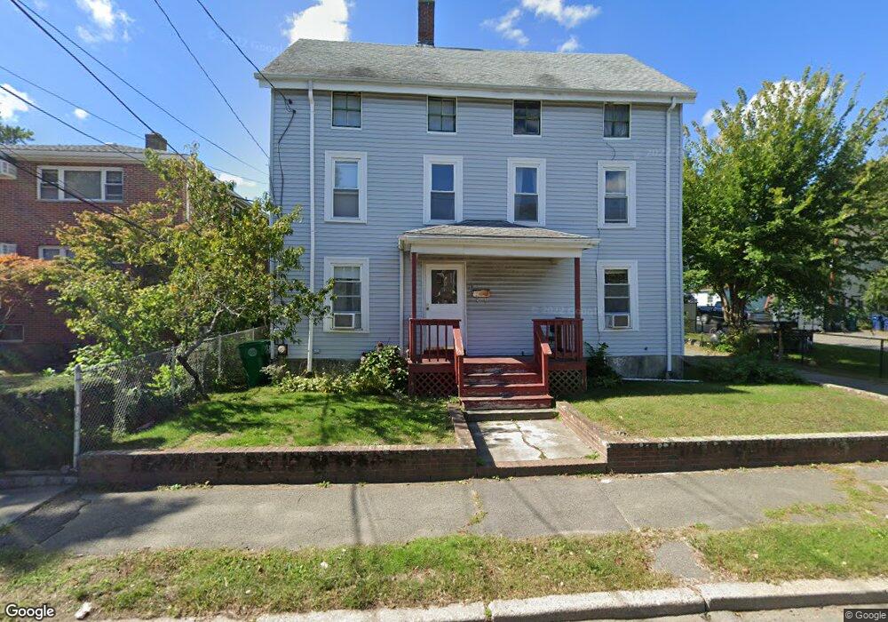
19 Dalby St Newton, MA 02458
Nonantum NeighborhoodEstimated Value: $797,000 - $1,000,000
4
Beds
2
Baths
1,518
Sq Ft
$590/Sq Ft
Est. Value
About This Home
This home is located at 19 Dalby St, Newton, MA 02458 and is currently estimated at $895,443, approximately $589 per square foot. 19 Dalby St is a home located in Middlesex County with nearby schools including Lincoln-Eliot Elementary School, Bigelow Middle School, and Newton North High School.
Ownership History
Date
Name
Owned For
Owner Type
Purchase Details
Closed on
Apr 8, 1988
Sold by
Undine Realty Trust
Bought by
Santonastaso Angelo R
Current Estimated Value
Home Financials for this Owner
Home Financials are based on the most recent Mortgage that was taken out on this home.
Original Mortgage
$102,500
Interest Rate
9.89%
Mortgage Type
Purchase Money Mortgage
Purchase Details
Closed on
Jul 14, 1987
Sold by
Yblad Rt
Bought by
Undine Rt
Create a Home Valuation Report for This Property
The Home Valuation Report is an in-depth analysis detailing your home's value as well as a comparison with similar homes in the area
Home Values in the Area
Average Home Value in this Area
Purchase History
| Date | Buyer | Sale Price | Title Company |
|---|---|---|---|
| Santonastaso Angelo R | $152,500 | -- | |
| Undine Rt | $176,000 | -- |
Source: Public Records
Mortgage History
| Date | Status | Borrower | Loan Amount |
|---|---|---|---|
| Closed | Undine Rt | $101,500 | |
| Closed | Undine Rt | $102,500 |
Source: Public Records
Tax History Compared to Growth
Tax History
| Year | Tax Paid | Tax Assessment Tax Assessment Total Assessment is a certain percentage of the fair market value that is determined by local assessors to be the total taxable value of land and additions on the property. | Land | Improvement |
|---|---|---|---|---|
| 2025 | $6,492 | $662,400 | $0 | $0 |
| 2024 | $6,277 | $0 | $0 | $0 |
| 2023 | $5,911 | $580,600 | $483,800 | $96,800 |
| 2022 | $5,656 | $537,600 | $448,000 | $89,600 |
| 2021 | $5,457 | $507,200 | $422,600 | $84,600 |
| 2020 | $6,048 | $507,200 | $422,600 | $84,600 |
| 2019 | $6,610 | $492,400 | $410,300 | $82,100 |
| 2018 | $4,825 | $445,900 | $369,200 | $76,700 |
| 2017 | $4,678 | $420,700 | $348,300 | $72,400 |
| 2016 | $4,475 | $393,200 | $325,500 | $67,700 |
| 2015 | $4,267 | $367,500 | $304,200 | $63,300 |
Source: Public Records
Map
Nearby Homes
- 44 Faxon St Unit 2
- 290 Watertown St Unit 3
- 290 Watertown St Unit 4
- 290 Pleasant St Unit 220
- 290 Pleasant St Unit 113
- 68 Los Angeles St Unit PH5
- 34 West St Unit A
- 158 Adams St
- 53 West St
- 191 Linwood Ave
- 282 Nevada St Unit 282
- 188-190 Adams St
- 286 Nevada St Unit 286
- 86 West St
- 49 Hawthorn St
- 11 Murphy Ct
- 338 Nevada St Unit 338
- 20 Rosedale Rd
- 27 Oakland St
- 3 Ashmont Ave
- 21 Dalby St
- 21 Dalby St Unit R
- 21 Dalby St Unit 1
- 21 Dalby St Unit 21R
- 23 Dalby St Unit 25
- 15 Dalby St Unit 17
- 29 Dalby St
- 29 Dalby St Unit 1
- 9 Dalby St Unit 2
- 9 Dalby St Unit 11
- 9 Dalby St Unit 11
- 9 Dalby St Unit 9
- 9 Dalby St
- 11 Dalby St
- 11 Dalby St Unit 11
- 11 Dalby St Unit 1
- 18 Dalby St
- 13 Dalby St
- 13 Dalby St Unit A
- 13 Dalby St Unit 3