19 Dell Ln Berkeley Heights, NJ 07922
Estimated Value: $761,065 - $984,000
About This Home
This home is located at 19 Dell Ln, Berkeley Heights, NJ 07922 and is currently estimated at $883,016, approximately $478 per square foot. 19 Dell Ln is a home located in Union County with nearby schools including Columbia Middle School and Governor Livingston High School.
Ownership History
We collect this data history from publicly available records. To have your information removed, we recommend requesting removal directly through your county’s website.
Purchase Details
Home Financials for this Owner
Home Financials are based on the most recent Mortgage that was taken out on this home.Purchase Details
Home Values in the Area
Average Home Value in this Area
Purchase History
We collect this data history from publicly available records. To have your information removed, we recommend requesting removal directly through your county’s website.
| Date | Buyer | Sale Price | Title Company |
|---|---|---|---|
| $365,000 | -- | ||
| -- | -- |
Mortgage History
We collect this data history from publicly available records. To have your information removed, we recommend requesting removal directly through your county’s website.
| Date | Status | Borrower | Loan Amount |
|---|---|---|---|
| Open | $250,000 |
Tax History
We collect this data history from publicly available records. To have your information removed, we recommend requesting removal directly through your county’s website.
| Year | Tax Paid | Tax Assessment Tax Assessment Total Assessment is a certain percentage of the fair market value that is determined by local assessors to be the total taxable value of land and additions on the property. | Land | Improvement |
|---|---|---|---|---|
| 2025 | $11,579 | $270,100 | $150,400 | $119,700 |
| 2024 | $11,412 | $270,100 | $150,400 | $119,700 |
| 2023 | $11,412 | $270,100 | $150,400 | $119,700 |
| 2022 | $11,342 | $270,100 | $150,400 | $119,700 |
| 2021 | $11,279 | $270,100 | $150,400 | $119,700 |
| 2020 | $11,339 | $270,100 | $150,400 | $119,700 |
| 2019 | $11,282 | $270,100 | $150,400 | $119,700 |
| 2018 | $11,047 | $270,100 | $150,400 | $119,700 |
| 2017 | $10,912 | $270,100 | $150,400 | $119,700 |
| 2016 | $10,720 | $270,100 | $150,400 | $119,700 |
| 2015 | $10,661 | $270,100 | $150,400 | $119,700 |
| 2014 | $10,383 | $270,100 | $150,400 | $119,700 |
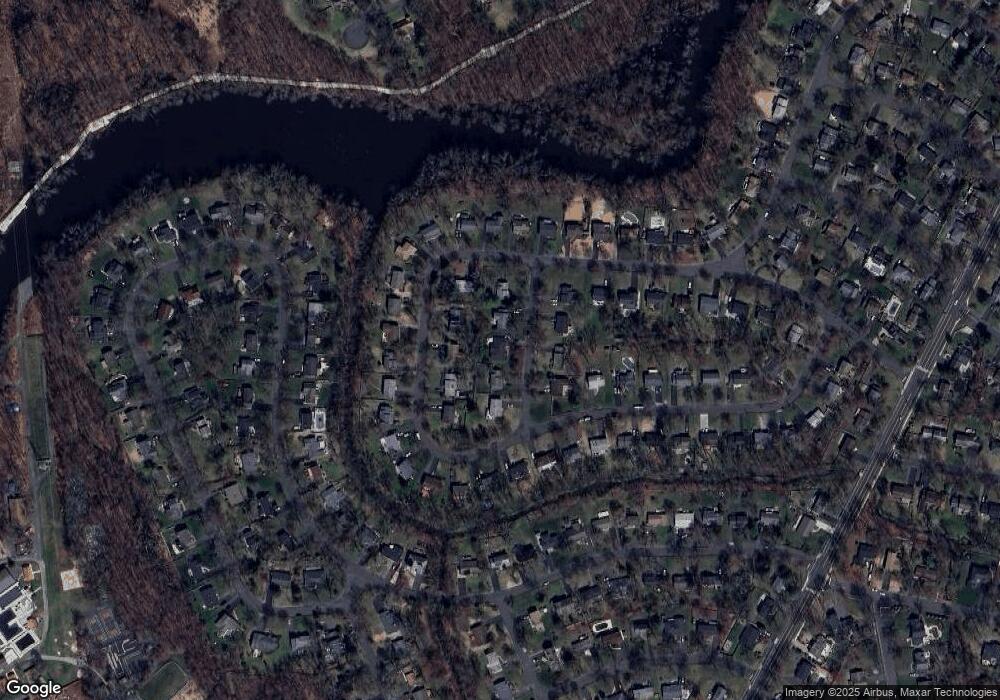
Map
- 223 Chaucer Dr
- 77 Windsor Way
- 236 Park Ave
- 630 Valley Rd
- 08-09 Castle Place
- 994 Mountain Ave
- 97 Sunrise Dr
- 413 Mountain Ave
- 136 Forest Ave
- 56 Cedar Green Ln
- 260 Lorraine Dr
- 27 Wardle Ave
- 317 Plainfield Ave
- 66 Berkeley Ave
- 18 Columbia Ave
- 569 Springfield Ave Unit 7
- 162 Washington St
- 285 Plainfield Ave Unit 1
- 31 Branko Rd
- 15 Roosevelt Ave
- 11 Dell Ln
- 27 Dell Ln
- 254 River Bend Rd
- 246 River Bend Rd
- 262 River Bend Rd
- 20 Dell Ln
- 5 Dell Ln
- 12 Dell Ln
- 33 Dell Ln
- 30 Dell Ln
- 232 River Bend Rd
- 4 Dell Ln
- 278 River Bend Rd
- 255 River Bend Rd
- 243 River Bend Rd
- 217 River Bend Rd
- 237 River Bend Rd
- 192 River Bend Rd
- 249 River Bend Rd
- 320 River Bend Rd
Ask me questions while you tour the home.