Estimated Value: $992,000 - $1,409,000
4
Beds
2
Baths
3,527
Sq Ft
$331/Sq Ft
Est. Value
About This Home
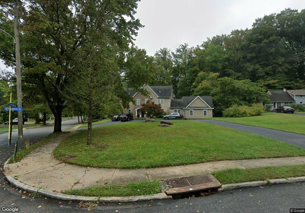
This home is located at 19 Devonwood Rd, Wayne, PA 19087 and is currently estimated at $1,165,710, approximately $330 per square foot. 19 Devonwood Rd is a home located in Delaware County with nearby schools including Wayne Elementary School, Radnor Middle School, and Radnor Senior High School.
Ownership History
Date
Name
Owned For
Owner Type
Purchase Details
Closed on
Feb 28, 2000
Sold by
Apfelbaum Bruce and Cooley Donald R
Bought by
Economides Lambros and Economides Martha
Current Estimated Value
Home Financials for this Owner
Home Financials are based on the most recent Mortgage that was taken out on this home.
Original Mortgage
$128,000
Outstanding Balance
$43,131
Interest Rate
8.21%
Estimated Equity
$1,122,579
Create a Home Valuation Report for This Property
The Home Valuation Report is an in-depth analysis detailing your home's value as well as a comparison with similar homes in the area
Home Values in the Area
Average Home Value in this Area
Purchase History
| Date | Buyer | Sale Price | Title Company |
|---|---|---|---|
| Economides Lambros | $160,000 | Security Search & Abstract C |
Source: Public Records
Mortgage History
| Date | Status | Borrower | Loan Amount |
|---|---|---|---|
| Open | Economides Lambros | $128,000 |
Source: Public Records
Tax History Compared to Growth
Tax History
| Year | Tax Paid | Tax Assessment Tax Assessment Total Assessment is a certain percentage of the fair market value that is determined by local assessors to be the total taxable value of land and additions on the property. | Land | Improvement |
|---|---|---|---|---|
| 2025 | $13,812 | $683,130 | $186,240 | $496,890 |
| 2024 | $13,812 | $683,130 | $186,240 | $496,890 |
| 2023 | $13,264 | $683,130 | $186,240 | $496,890 |
| 2022 | $13,120 | $683,130 | $186,240 | $496,890 |
| 2021 | $21,074 | $683,130 | $186,240 | $496,890 |
| 2020 | $6,008 | $172,710 | $91,520 | $81,190 |
| 2019 | $5,839 | $172,710 | $91,520 | $81,190 |
| 2018 | $5,724 | $172,710 | $0 | $0 |
| 2017 | $5,604 | $172,710 | $0 | $0 |
| 2016 | $948 | $172,710 | $0 | $0 |
| 2015 | $948 | $172,710 | $0 | $0 |
| 2014 | $948 | $172,710 | $0 | $0 |
Source: Public Records
Map
Nearby Homes
- 120 Eaton Dr
- 155 Eaton Dr
- 120 S Devon Ave
- 2 Sugartown Rd
- 404 Dorset Rd
- 412 Fairview Dr
- 123 Conestoga Rd
- 203 Church St
- 131 Sugartown Rd
- 188 Conestoga Rd
- 422 S Waterloo Rd
- 211 Bella Vista Rd
- 232 Conestoga Rd
- 273 Strafford Ave
- 718 Lot 1 Waterloo
- 718 S Waterloo Rd
- 1 Private Way
- 443 Homestead Rd
- Lot 4 Rose Glenn
- Lot 7 Rose Glenn
- 21 Devonwood Rd
- 511 Crestview Rd
- 520 Crestview Rd
- 23 Devonwood Rd
- 94 Oakford Rd
- 1 Crestview Cir
- 17 Devonwood Rd
- 18 Devonwood Rd
- 20 Devonwood Rd
- 25 Devonwood Rd
- 508 Crestview Rd
- 508 Oakford Rd
- 90 Oakford Rd
- 14 Devonwood Rd
- 22 Devonwood Rd
- 15 Devonwood Rd
- 129 Eaton Dr
- 27 Devonwood Rd
- 127 Eaton Dr
- 91 Oakford Rd