19 Dodd Rd Sandisfield, MA 01255
Estimated Value: $285,000 - $860,835
3
Beds
2
Baths
1,961
Sq Ft
$361/Sq Ft
Est. Value
About This Home
This home is located at 19 Dodd Rd, Sandisfield, MA 01255 and is currently estimated at $708,209, approximately $361 per square foot. 19 Dodd Rd is a home located in Berkshire County with nearby schools including Farmington River Elementary School.
Ownership History
Date
Name
Owned For
Owner Type
Purchase Details
Closed on
Oct 21, 2025
Sold by
Nelson Rose
Bought by
Nelson Rose M and Blass Jacob J
Current Estimated Value
Home Financials for this Owner
Home Financials are based on the most recent Mortgage that was taken out on this home.
Original Mortgage
$225,000
Outstanding Balance
$224,341
Interest Rate
6.13%
Mortgage Type
Purchase Money Mortgage
Estimated Equity
$483,868
Purchase Details
Closed on
Nov 6, 2001
Sold by
Hayes William C and Hayes Roberta
Bought by
Marinelli Zoe R
Home Financials for this Owner
Home Financials are based on the most recent Mortgage that was taken out on this home.
Original Mortgage
$65,000
Interest Rate
6.82%
Mortgage Type
Commercial
Create a Home Valuation Report for This Property
The Home Valuation Report is an in-depth analysis detailing your home's value as well as a comparison with similar homes in the area
Home Values in the Area
Average Home Value in this Area
Purchase History
| Date | Buyer | Sale Price | Title Company |
|---|---|---|---|
| Nelson Rose M | -- | -- | |
| Marinelli Zoe R | $75,000 | -- | |
| Marinelli Zoe R | $75,000 | -- |
Source: Public Records
Mortgage History
| Date | Status | Borrower | Loan Amount |
|---|---|---|---|
| Open | Nelson Rose M | $225,000 | |
| Previous Owner | Marinelli Zoe R | $65,000 |
Source: Public Records
Tax History
| Year | Tax Paid | Tax Assessment Tax Assessment Total Assessment is a certain percentage of the fair market value that is determined by local assessors to be the total taxable value of land and additions on the property. | Land | Improvement |
|---|---|---|---|---|
| 2025 | $6,409 | $664,038 | $58,238 | $605,800 |
| 2024 | $6,409 | $641,583 | $54,483 | $587,100 |
| 2023 | $6,226 | $587,878 | $47,778 | $540,100 |
| 2022 | $6,130 | $475,178 | $47,778 | $427,400 |
| 2021 | $3,934 | $294,678 | $45,178 | $249,500 |
| 2020 | $3,917 | $294,478 | $45,178 | $249,300 |
| 2019 | $3,600 | $299,278 | $49,978 | $249,300 |
| 2018 | $3,666 | $275,849 | $45,649 | $230,200 |
| 2017 | $3,666 | $275,849 | $45,649 | $230,200 |
| 2016 | $3,581 | $275,849 | $45,649 | $230,200 |
| 2015 | $3,535 | $271,942 | $47,642 | $224,300 |
| 2014 | $3,454 | $271,942 | $47,642 | $224,300 |
Source: Public Records
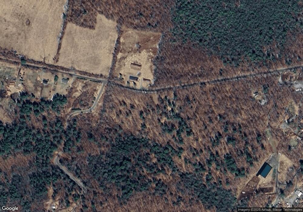
Map
Nearby Homes
- 96 New Hartford Rd
- 23 Rood Hill Rd
- 0 West St
- 165 Sandisfield Rd
- lot #24 Stratford Rd
- Lot #19 Stratford Rd
- Lot #29 Stratford Rd
- Lot 3 / 0 Rood Hill Rd
- Lot 4 / 0 Rood Hill Rd
- 201 Stratford Rd
- 764 E Hill Rd
- 19 Roberts Rd
- 14 Roosterville Rd
- 1333 Norfolk Rd
- 0 Hartsville-New Marlborough Rd
- 117 Norfolk Rd
- 0 Prock Hill Rd
- 194 Canaan Southfield Rd
- 210 Doolittle Dr
- 0 Sandisfield Rd
Your Personal Tour Guide
Ask me questions while you tour the home.