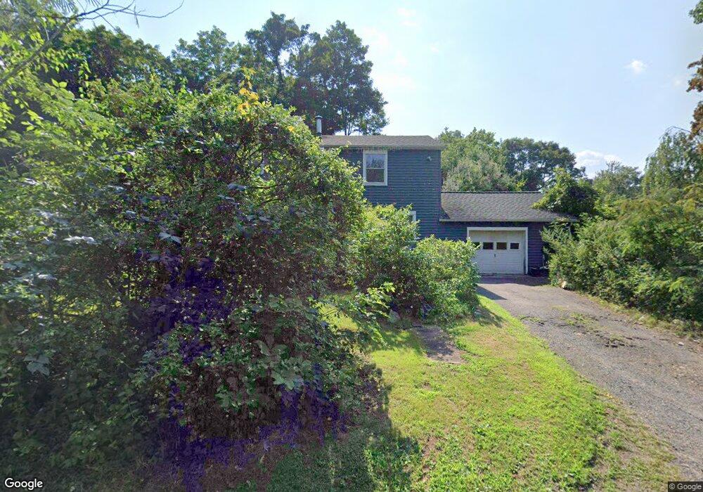
19 Donald Rd Guilford, CT 06437
Estimated Value: $434,118 - $494,000
2
Beds
1
Bath
1,960
Sq Ft
$233/Sq Ft
Est. Value
About This Home
This home is located at 19 Donald Rd, Guilford, CT 06437 and is currently estimated at $457,530, approximately $233 per square foot. 19 Donald Rd is a home located in New Haven County with nearby schools including A. Baldwin Middle School, E.C. Adams Middle School, and Guilford High School.
Ownership History
Date
Name
Owned For
Owner Type
Purchase Details
Closed on
Aug 8, 2016
Sold by
Madenski Eric A and Madenski Erin K
Bought by
Madenski Eric A
Current Estimated Value
Purchase Details
Closed on
Jul 24, 2001
Sold by
Bahnsen Patricia L
Bought by
Madonski Eric A and Madonski Erin K
Home Financials for this Owner
Home Financials are based on the most recent Mortgage that was taken out on this home.
Original Mortgage
$163,400
Interest Rate
7.25%
Purchase Details
Closed on
Sep 4, 1996
Sold by
Keegan Carolina M
Bought by
Bahnsen Joseph W and Bahnsen Patricia L
Create a Home Valuation Report for This Property
The Home Valuation Report is an in-depth analysis detailing your home's value as well as a comparison with similar homes in the area
Home Values in the Area
Average Home Value in this Area
Purchase History
| Date | Buyer | Sale Price | Title Company |
|---|---|---|---|
| Madenski Eric A | -- | -- | |
| Madonski Eric A | $172,000 | -- | |
| Bahnsen Joseph W | $80,000 | -- |
Source: Public Records
Mortgage History
| Date | Status | Borrower | Loan Amount |
|---|---|---|---|
| Previous Owner | Bahnsen Joseph W | $210,000 | |
| Previous Owner | Bahnsen Joseph W | $168,000 | |
| Previous Owner | Bahnsen Joseph W | $163,400 |
Source: Public Records
Tax History
| Year | Tax Paid | Tax Assessment Tax Assessment Total Assessment is a certain percentage of the fair market value that is determined by local assessors to be the total taxable value of land and additions on the property. | Land | Improvement |
|---|---|---|---|---|
| 2025 | $5,872 | $212,380 | $103,740 | $108,640 |
| 2024 | $5,645 | $212,380 | $103,740 | $108,640 |
| 2023 | $5,496 | $212,380 | $103,740 | $108,640 |
| 2022 | $5,388 | $162,040 | $103,030 | $59,010 |
| 2021 | $5,286 | $162,040 | $103,030 | $59,010 |
| 2020 | $5,236 | $162,040 | $103,030 | $59,010 |
| 2019 | $5,185 | $161,890 | $103,030 | $58,860 |
| 2018 | $5,064 | $161,890 | $103,030 | $58,860 |
| 2017 | $5,199 | $177,080 | $107,980 | $69,100 |
| 2016 | $5,077 | $177,080 | $107,980 | $69,100 |
| 2015 | $5,001 | $177,080 | $107,980 | $69,100 |
| 2014 | $4,856 | $177,080 | $107,980 | $69,100 |
Source: Public Records
Map
Nearby Homes
- 2064 Long Hill Rd
- 2125 Long Hill Rd
- 0 Tamarack Ln Unit Lot 23 24071362
- 0 Tamarack Ln Unit Lot 19 24071360
- 42 Harrison Rd
- 134 Janeway Dr
- 77 Pinebrook Cir
- 2111 Jennifers Dr
- 250 Elm St
- 360 Jefferson Dr
- 375 Sea Hill Rd
- 18 Deer Path Ln
- 286 Weatherly Trail
- 20 Long Hill Farm
- 72 Notch Hill Rd
- LOT 28B Bruce Ln Unit MAP 83
- 83 Long Hill Farm Unit 83
- 154 Wilburs Ln
- LOT #22 Kenneth Cir Unit MAP 77
- 24 Echo Point Rd
- 14 Donald Rd
- 38 Gamma Ave
- 0 Donald Rd
- 0 Donald Rd Unit 170297595
- 0 Donald Rd Unit 170215424
- 27 Gamma Ave
- 38 Richard Rd
- 4 Gamma Ave
- 116 Woodland Rd
- 48 Donald Rd
- 53 Donald Rd
- 35 Richard Rd
- 42 Richard Rd
- 128 Woodland Rd
- 94 Woodland Rd
- 2030 Long Hill Rd
- 138 Woodland Rd
- 48 Richard Rd
- 148 Woodland Rd
- 2042 Long Hill Rd
Your Personal Tour Guide
Ask me questions while you tour the home.