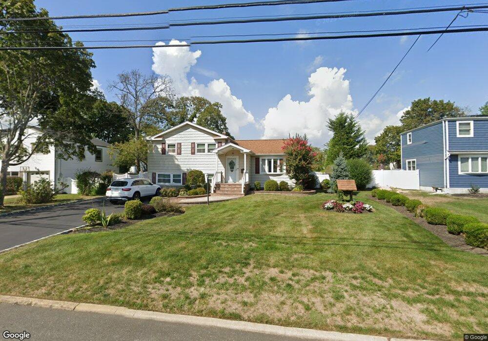
19 Duffin Ave West Islip, NY 11795
Estimated Value: $695,000 - $845,000
--
Bed
--
Bath
--
Sq Ft
0.25
Acres
About This Home
This home is located at 19 Duffin Ave, West Islip, NY 11795 and is currently estimated at $768,082. 19 Duffin Ave is a home located in Suffolk County with nearby schools including Oquenock Elementary School, Udall Road Middle School, and West Islip Senior High School.
Ownership History
Date
Name
Owned For
Owner Type
Purchase Details
Closed on
Sep 9, 2013
Sold by
Bush Susan V
Bought by
Bush Susan and Berta Brian K
Current Estimated Value
Purchase Details
Closed on
Aug 22, 2007
Sold by
Borruso Robert Jo Ann
Bought by
Bush Susan
Create a Home Valuation Report for This Property
The Home Valuation Report is an in-depth analysis detailing your home's value as well as a comparison with similar homes in the area
Home Values in the Area
Average Home Value in this Area
Purchase History
| Date | Buyer | Sale Price | Title Company |
|---|---|---|---|
| Bush Susan | -- | -- | |
| Bush Susan | $500,000 | Meryl Halpern |
Source: Public Records
Tax History Compared to Growth
Tax History
| Year | Tax Paid | Tax Assessment Tax Assessment Total Assessment is a certain percentage of the fair market value that is determined by local assessors to be the total taxable value of land and additions on the property. | Land | Improvement |
|---|---|---|---|---|
| 2024 | -- | $42,500 | $9,400 | $33,100 |
| 2023 | -- | $42,500 | $9,400 | $33,100 |
| 2022 | $10,635 | $42,500 | $9,400 | $33,100 |
| 2021 | $10,635 | $42,500 | $9,400 | $33,100 |
| 2020 | $11,220 | $42,500 | $9,400 | $33,100 |
| 2019 | $10,635 | $0 | $0 | $0 |
| 2018 | -- | $42,500 | $9,400 | $33,100 |
| 2017 | $10,366 | $42,500 | $9,400 | $33,100 |
| 2016 | $10,415 | $42,500 | $9,400 | $33,100 |
| 2015 | -- | $42,500 | $9,400 | $33,100 |
| 2014 | -- | $42,500 | $9,400 | $33,100 |
Source: Public Records
Map
Nearby Homes
- 14 Gerek Ave
- 8 Gerek Ave
- 409 Capri Rd
- 15 Anthony Dr
- 1280 Sunrise Hwy
- 47 Myson St
- 372 Hamilton Place
- 170 Wickfield Ln
- 2011 Orinoco Dr
- 166 W 2nd St
- 134 Veronica Ln
- 1345 Madison Ave
- 38 Beach St
- 43 Hitherdell Ln
- 274 Edmunton Dr Unit K8
- 265 Edmunton Dr Unit I-12
- 205 Edmunton Dr Unit H17
- 214 Edmunton Dr Unit J3
- 192 Edmunton Dr Unit D1
- 1291 Minerva Ave