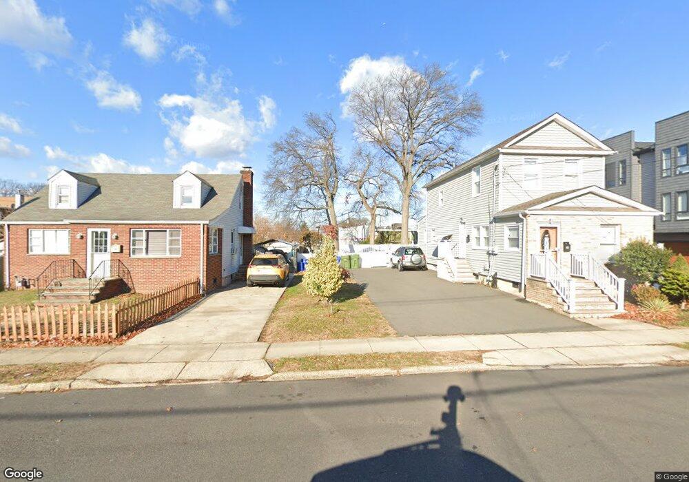
19 E 10th St Linden, NJ 07036
Estimated Value: $572,000
Studio
--
Bath
--
Sq Ft
3,485
Sq Ft Lot
About This Home
This home is located at 19 E 10th St, Linden, NJ 07036 and is currently estimated at $572,000. 19 E 10th St is a home located in Union County with nearby schools including School No. 2, Myles J. McManus Middle School, and Linden High School.
Ownership History
Date
Name
Owned For
Owner Type
Purchase Details
Closed on
Mar 23, 2010
Sold by
Hsbc Bank Usa Na
Bought by
Lojo Pablo and Fernandez Carolina
Current Estimated Value
Purchase Details
Closed on
Nov 10, 2009
Sold by
Lambert Sidulfo
Bought by
Hsbc Bank Usa Na
Purchase Details
Closed on
Dec 22, 2006
Sold by
Hechavarria Rafael E
Bought by
Lambert Sidulfo
Create a Home Valuation Report for This Property
The Home Valuation Report is an in-depth analysis detailing your home's value as well as a comparison with similar homes in the area
Home Values in the Area
Average Home Value in this Area
Purchase History
| Date | Buyer | Sale Price | Title Company |
|---|---|---|---|
| Lojo Pablo | $125,000 | None Available | |
| Hsbc Bank Usa Na | -- | None Available | |
| Lambert Sidulfo | $350,000 | None Available |
Source: Public Records
Tax History
| Year | Tax Paid | Tax Assessment Tax Assessment Total Assessment is a certain percentage of the fair market value that is determined by local assessors to be the total taxable value of land and additions on the property. | Land | Improvement |
|---|---|---|---|---|
| 2025 | $717 | $10,200 | $10,200 | -- |
| 2024 | $702 | $10,200 | $10,200 | -- |
| 2023 | $702 | $10,200 | $10,200 | $0 |
| 2022 | $705 | $10,200 | $10,200 | $0 |
| 2021 | $709 | $10,200 | $10,200 | $0 |
| 2020 | $705 | $10,200 | $10,200 | $0 |
| 2019 | $703 | $10,200 | $10,200 | $0 |
| 2018 | $702 | $10,200 | $10,200 | $0 |
| 2017 | $687 | $10,200 | $10,200 | $0 |
| 2016 | $666 | $10,200 | $10,200 | $0 |
| 2015 | $640 | $10,200 | $10,200 | $0 |
| 2014 | $628 | $10,200 | $10,200 | $0 |
Source: Public Records
Map
Nearby Homes
- 111 E 10th St
- 112 E 12th St
- 11 W 12th St
- 135 Liberty St
- 119 E 13th St
- 46 W 12th St
- 317 Mitchell Ave
- 300 Kennedy Dr
- 1713 S Wood Ave Unit 2
- 12 Belmont Place
- 116 W 17th St Unit 2
- 108 W 18th St
- 212 W Morris Ave
- 226 Pennsylvania Railroad Ave
- 1930 S Wood Ave
- 10 N Wood Ave Unit 406
- 10 N Wood Ave Unit 717
- 120 S Stiles St
- 111 Todd Place
- 208 E Price St
- 21 E 10th St
- 15 E 10th St
- 25 E 10th St
- 25 E 10th St Unit C
- 25 E 10th St Unit D
- 25 E 10th St Unit A
- 25 E 10th St Unit B
- 31 E 10th St
- 11 E 10th St
- 24 E Edgar Rd
- 12 E Edgar Rd
- 912 Clinton St
- 914 Clinton St
- 924 Clinton St
- 927 S Wood Ave
- 918 Clinton St
- 922 Clinton St
- 12-16 E 10th St
- 20 E 10th St
- 926 Clinton St
Your Personal Tour Guide
Ask me questions while you tour the home.