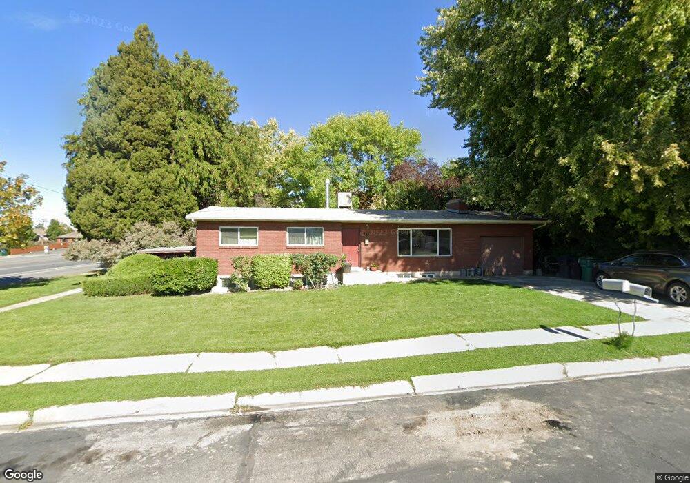
19 E 1990 N Provo, UT 84604
Rock Canyon NeighborhoodEstimated Value: $553,000 - $700,000
5
Beds
2
Baths
2,702
Sq Ft
$233/Sq Ft
Est. Value
About This Home
This home is located at 19 E 1990 N, Provo, UT 84604 and is currently estimated at $629,168, approximately $232 per square foot. 19 E 1990 N is a home located in Utah County with nearby schools including Rock Canyon Elementary School, Centennial Middle School, and Timpview High School.
Ownership History
Date
Name
Owned For
Owner Type
Purchase Details
Closed on
Mar 2, 2020
Sold by
Lucas Richard W and Lucas Rhonda L
Bought by
Lps Stadium House Llc
Current Estimated Value
Purchase Details
Closed on
Sep 17, 2009
Sold by
Henrichsen Carol A
Bought by
Lucas Richard W and Lucas Rhonda L
Home Financials for this Owner
Home Financials are based on the most recent Mortgage that was taken out on this home.
Original Mortgage
$157,500
Interest Rate
5.08%
Mortgage Type
New Conventional
Purchase Details
Closed on
Oct 19, 2005
Sold by
Henrichsen Carol A
Bought by
Henrichsen Carol A and The Henrichsen Living Trust
Purchase Details
Closed on
May 3, 2004
Sold by
Hrenrichsen Keith A and Henrichsen Carol Ann
Bought by
Henrichsen Keith A and Henrichsen Carol A
Create a Home Valuation Report for This Property
The Home Valuation Report is an in-depth analysis detailing your home's value as well as a comparison with similar homes in the area
Home Values in the Area
Average Home Value in this Area
Purchase History
| Date | Buyer | Sale Price | Title Company |
|---|---|---|---|
| Lps Stadium House Llc | -- | None Available | |
| Lucas Richard W | -- | Affiliated First Title Comp | |
| Henrichsen Carol A | -- | None Available | |
| Henrichsen Keith A | -- | -- |
Source: Public Records
Mortgage History
| Date | Status | Borrower | Loan Amount |
|---|---|---|---|
| Previous Owner | Lucas Richard W | $157,500 |
Source: Public Records
Tax History
| Year | Tax Paid | Tax Assessment Tax Assessment Total Assessment is a certain percentage of the fair market value that is determined by local assessors to be the total taxable value of land and additions on the property. | Land | Improvement |
|---|---|---|---|---|
| 2025 | $2,766 | $306,350 | -- | -- |
| 2024 | $2,766 | $272,305 | $0 | $0 |
| 2023 | $2,655 | $257,620 | $0 | $0 |
| 2022 | $2,577 | $252,120 | $0 | $0 |
| 2021 | $2,092 | $357,000 | $195,100 | $161,900 |
| 2020 | $1,968 | $314,800 | $156,100 | $158,700 |
| 2019 | $1,816 | $302,200 | $156,100 | $146,100 |
| 2018 | $1,700 | $286,800 | $156,100 | $130,700 |
| 2017 | $1,559 | $144,650 | $0 | $0 |
| 2016 | $1,407 | $121,660 | $0 | $0 |
| 2015 | $1,280 | $111,815 | $0 | $0 |
| 2014 | $1,105 | $100,595 | $0 | $0 |
Source: Public Records
Map
Nearby Homes
- 186 E 2100 N
- 1960 N Canyon Rd
- 2091 N 220 E
- 240 E 2230 N Unit 7
- 223 W 2230 N Unit 14
- 241 W 2230 N Unit 16
- 360 Sumac Ln
- 264 W 1625 N
- 2735 N Country Club Dr
- 1801 N 650 E
- 1470 N 380 W
- 431 W 2310 N
- 2774 N 370 E
- 1533 N 550 W Unit 26
- 2939 N Marrcrest Dr W
- 2999 N Marrcrest West Dr
- 3013 N 100 W
- 788 E 2680 N
- 3025 N 250 E
- 3057 N 100 W
- 33 E 1990 N
- 12 E 2050 N
- 32 E 2050 N
- 53 E 1990 N
- 34 E 1990 N
- 52 E 2050 N
- 54 E 1990 N
- 2019 N 80 E
- 11 E 2050 N
- 2039 N 80 E
- 31 E 2050 N
- 51 E 2050 N
- 74 E 1990 N
- 71 E 2050 N
- 1969 N Canyon Rd Unit 111
- 1969 N Canyon Rd Unit 110
- 1969 N Canyon Rd Unit 213
- 1969 N Canyon Rd Unit 212
- 1969 N Canyon Rd Unit 313
- 1969 N Canyon Rd Unit 114
Your Personal Tour Guide
Ask me questions while you tour the home.