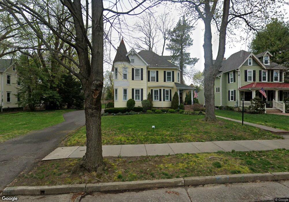
19 E Oak Ave Moorestown, NJ 08057
Estimated Value: $911,181 - $1,109,000
Studio
--
Bath
3,091
Sq Ft
$319/Sq Ft
Est. Value
About This Home
This home is located at 19 E Oak Ave, Moorestown, NJ 08057 and is currently estimated at $987,045, approximately $319 per square foot. 19 E Oak Ave is a home located in Burlington County with nearby schools including George C. Baker Elementary School, Moorestown Upper Elementary School, and William Allen Middle School.
Ownership History
Date
Name
Owned For
Owner Type
Purchase Details
Closed on
Jan 20, 2012
Sold by
Schumacher Frederick C and Schumacher Cheryl L
Bought by
Schumacher Scheryl L
Current Estimated Value
Purchase Details
Closed on
Mar 12, 1999
Sold by
Freese Rosemary G
Bought by
Scott J David and Scott Karen
Home Financials for this Owner
Home Financials are based on the most recent Mortgage that was taken out on this home.
Original Mortgage
$324,000
Outstanding Balance
$78,348
Interest Rate
6.74%
Estimated Equity
$908,697
Purchase Details
Closed on
Oct 30, 1995
Sold by
Sinunu Jack B and Sinunu Rumiko T
Bought by
Friese Rosemary G
Create a Home Valuation Report for This Property
The Home Valuation Report is an in-depth analysis detailing your home's value as well as a comparison with similar homes in the area
Home Values in the Area
Average Home Value in this Area
Purchase History
| Date | Buyer | Sale Price | Title Company |
|---|---|---|---|
| Schumacher Scheryl L | -- | None Available | |
| Scott J David | $382,000 | Victorian Title Agency Inc | |
| Friese Rosemary G | $273,500 | Infinity Title Agency Inc |
Source: Public Records
Mortgage History
| Date | Status | Borrower | Loan Amount |
|---|---|---|---|
| Open | Scott J David | $324,000 |
Source: Public Records
Tax History
| Year | Tax Paid | Tax Assessment Tax Assessment Total Assessment is a certain percentage of the fair market value that is determined by local assessors to be the total taxable value of land and additions on the property. | Land | Improvement |
|---|---|---|---|---|
| 2025 | $15,101 | $532,300 | $255,100 | $277,200 |
| 2024 | $14,644 | $532,300 | $255,100 | $277,200 |
| 2023 | $14,644 | $532,300 | $255,100 | $277,200 |
| 2022 | $14,495 | $532,300 | $255,100 | $277,200 |
| 2021 | $14,303 | $532,300 | $255,100 | $277,200 |
| 2020 | $14,212 | $532,300 | $255,100 | $277,200 |
| 2019 | $13,962 | $532,300 | $255,100 | $277,200 |
| 2018 | $13,584 | $532,300 | $255,100 | $277,200 |
| 2017 | $13,701 | $532,300 | $255,100 | $277,200 |
| 2016 | $13,654 | $532,300 | $255,100 | $277,200 |
| 2015 | $13,488 | $532,300 | $255,100 | $277,200 |
| 2014 | $12,807 | $532,300 | $255,100 | $277,200 |
Source: Public Records
Map
Nearby Homes
- 500 Chester Ave
- 700 Lippincott Ave
- 66 E 3rd St
- 80 E 3rd St
- 140 E Central Ave
- 133 Plum St Unit 6
- 205 E Central Ave
- 705 Iron Post Rd
- 127 Schooley St
- 543 Bethel Ave
- 129 S Church St
- 308 Elm St
- 15 W Close Unit 15
- 22 E Close Unit 22
- 10 E Close Unit 10EAST
- 396 E Linden St
- 307 Fairview Ave
- 8 S Close Unit 8
- 401 W 3rd St
- 317 S Washington Ave
Your Personal Tour Guide
Ask me questions while you tour the home.