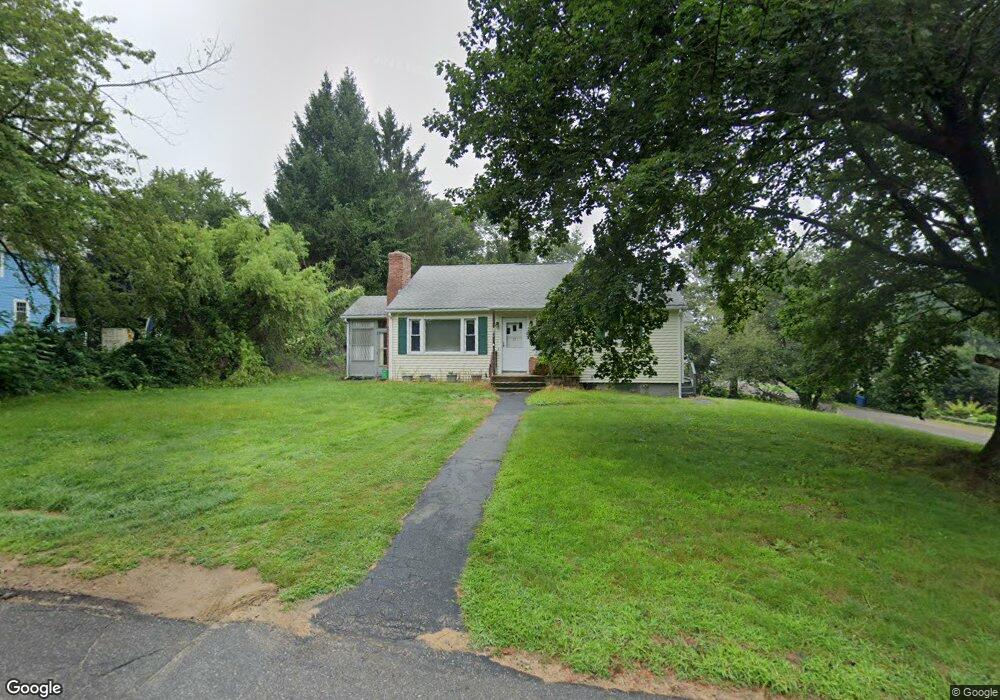
19 Edson Ave Rutland, MA 01543
Estimated Value: $380,000 - $433,000
3
Beds
1
Bath
1,080
Sq Ft
$373/Sq Ft
Est. Value
About This Home
This home is located at 19 Edson Ave, Rutland, MA 01543 and is currently estimated at $402,521, approximately $372 per square foot. 19 Edson Ave is a home located in Worcester County with nearby schools including Wachusett Regional High School.
Create a Home Valuation Report for This Property
The Home Valuation Report is an in-depth analysis detailing your home's value as well as a comparison with similar homes in the area
Home Values in the Area
Average Home Value in this Area
Tax History Compared to Growth
Tax History
| Year | Tax Paid | Tax Assessment Tax Assessment Total Assessment is a certain percentage of the fair market value that is determined by local assessors to be the total taxable value of land and additions on the property. | Land | Improvement |
|---|---|---|---|---|
| 2025 | $4,776 | $335,400 | $98,800 | $236,600 |
| 2024 | $4,427 | $298,500 | $88,600 | $209,900 |
| 2023 | $4,008 | $292,100 | $83,600 | $208,500 |
| 2022 | $3,881 | $245,800 | $70,800 | $175,000 |
| 2021 | $3,674 | $220,000 | $70,800 | $149,200 |
| 2020 | $3,503 | $198,900 | $66,600 | $132,300 |
| 2019 | $3,385 | $189,200 | $61,100 | $128,100 |
| 2018 | $3,274 | $180,600 | $61,100 | $119,500 |
| 2017 | $3,217 | $175,600 | $61,100 | $114,500 |
| 2016 | $3,047 | $175,400 | $60,600 | $114,800 |
| 2015 | $2,861 | $162,100 | $60,600 | $101,500 |
| 2014 | $2,774 | $162,100 | $60,600 | $101,500 |
Source: Public Records
Map
Nearby Homes
- 11 Lewis St
- 21 Lewis St
- 27 Lewis St
- 12 Lewis St
- 6 Lewis St
- 28 Forest Hill Dr
- 21 Highland Park Rd
- 2 Forest Hill Dr
- 85 Maple Ave Unit A
- 32 Pommogussett Rd Unit 1
- 25 Watson Ln
- 132 Fidelity Dr Unit 61
- 10 Fidelity Dr Unit 5
- 12 Fidelity Dr Unit 6
- 7 Prescott St
- 5 Miles Rd
- 10 Soucy Dr
- 10 Beechwood Dr
- 55 Pommogussett Rd
- 16 Richards Ave