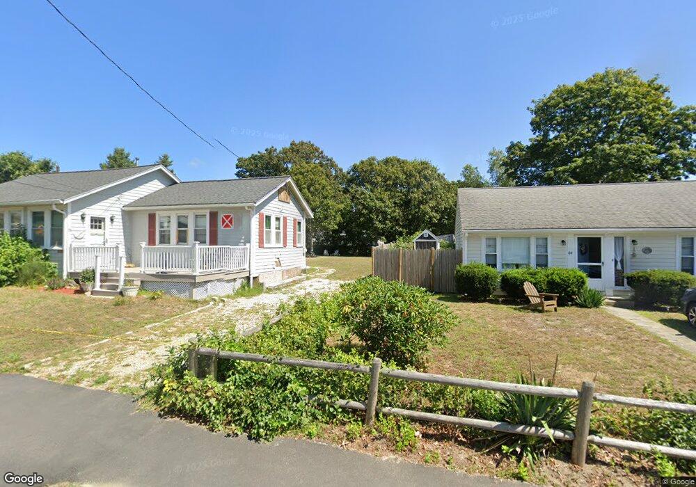
19 Eldridge Ln Dennis Port, MA 02639
Dennis Port NeighborhoodEstimated Value: $574,000 - $871,000
3
Beds
1
Bath
1,128
Sq Ft
$617/Sq Ft
Est. Value
About This Home
This home is located at 19 Eldridge Ln, Dennis Port, MA 02639 and is currently estimated at $695,806, approximately $616 per square foot. 19 Eldridge Ln is a home located in Barnstable County with nearby schools including Dennis-Yarmouth Regional High School and St. Pius X. School.
Ownership History
Date
Name
Owned For
Owner Type
Purchase Details
Closed on
Jun 18, 2018
Sold by
Buckley Nancy J and Buckley Gregory F
Bought by
Buckley Nancy J
Current Estimated Value
Purchase Details
Closed on
Mar 28, 2011
Sold by
Buckley Nancy J and Buckley Patrice A
Bought by
Buckley Nancy J and Buckley Gregory F
Home Financials for this Owner
Home Financials are based on the most recent Mortgage that was taken out on this home.
Original Mortgage
$92,500
Interest Rate
5.07%
Mortgage Type
Purchase Money Mortgage
Create a Home Valuation Report for This Property
The Home Valuation Report is an in-depth analysis detailing your home's value as well as a comparison with similar homes in the area
Home Values in the Area
Average Home Value in this Area
Purchase History
| Date | Buyer | Sale Price | Title Company |
|---|---|---|---|
| Buckley Nancy J | -- | -- | |
| Buckley Nancy J | -- | -- |
Source: Public Records
Mortgage History
| Date | Status | Borrower | Loan Amount |
|---|---|---|---|
| Previous Owner | Buckley Nancy J | $92,500 |
Source: Public Records
Tax History Compared to Growth
Tax History
| Year | Tax Paid | Tax Assessment Tax Assessment Total Assessment is a certain percentage of the fair market value that is determined by local assessors to be the total taxable value of land and additions on the property. | Land | Improvement |
|---|---|---|---|---|
| 2025 | $3,165 | $730,900 | $316,200 | $414,700 |
| 2024 | $3,016 | $687,000 | $304,100 | $382,900 |
| 2023 | $2,918 | $624,800 | $276,400 | $348,400 |
| 2022 | $2,659 | $474,800 | $217,900 | $256,900 |
| 2021 | $2,577 | $427,400 | $213,600 | $213,800 |
| 2020 | $2,175 | $356,500 | $213,600 | $142,900 |
| 2019 | $2,173 | $352,200 | $227,400 | $124,800 |
| 2018 | $2,130 | $335,900 | $216,400 | $119,500 |
| 2017 | $1,899 | $308,800 | $199,300 | $109,500 |
| 2016 | $1,838 | $281,500 | $188,000 | $93,500 |
| 2015 | $1,802 | $281,500 | $188,000 | $93,500 |
| 2014 | $1,715 | $270,100 | $176,600 | $93,500 |
Source: Public Records
Map
Nearby Homes
- 11 Ocean Park W
- 402 Old Wharf Rd
- 402 Old Wharf Rd
- 26 Manning Rd
- 9 Chase Ave Unit 6
- 405 Old Wharf Rd Unit B204
- 405 Old Wharf Rd Unit B204
- 102 Sea St
- 12 Cross St
- 159 Center St Unit 22
- 1 E Belmont Unit 630
- 22 Ferncliff Rd
- 1 Belmont Rd Unit 630
- 1 Belmont Rd Unit 513
- 73 Division St
- 37-A Beach Hills Rd
- 3 Fairbanks Dr
- 37 Beach Hills Rd
- 148 Belmont Rd
- 221 Upper County Rd Unit 2A