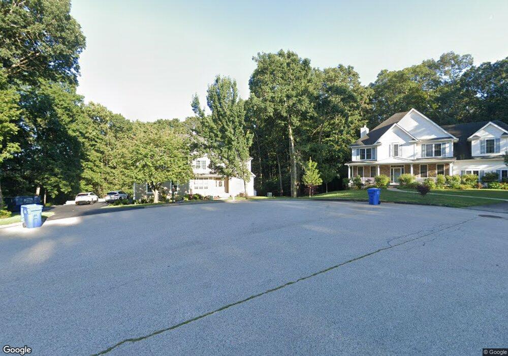
19 Elton Ct Uncasville, CT 06382
Oxoboxo River NeighborhoodEstimated Value: $627,297 - $762,000
5
Beds
5
Baths
3,821
Sq Ft
$185/Sq Ft
Est. Value
About This Home
This home is located at 19 Elton Ct, Uncasville, CT 06382 and is currently estimated at $708,074, approximately $185 per square foot. 19 Elton Ct is a home located in New London County with nearby schools including Leonard J. Tyl Middle School, Montville High School, and Bradley School-New London Regional.
Ownership History
Date
Name
Owned For
Owner Type
Purchase Details
Closed on
Jul 12, 2006
Sold by
Fonda Anthony C
Bought by
Groton Hospitality Llc
Current Estimated Value
Purchase Details
Closed on
Nov 7, 2001
Sold by
Greenstreet Prop
Bought by
Parekh Kiran and Parekh Jaymini
Create a Home Valuation Report for This Property
The Home Valuation Report is an in-depth analysis detailing your home's value as well as a comparison with similar homes in the area
Home Values in the Area
Average Home Value in this Area
Purchase History
| Date | Buyer | Sale Price | Title Company |
|---|---|---|---|
| Parekh Kiran | $59,900 | -- | |
| Parekh Kiran | $59,900 | -- | |
| Groton Hospitality Llc | $1,350,000 | -- |
Source: Public Records
Mortgage History
| Date | Status | Borrower | Loan Amount |
|---|---|---|---|
| Closed | Parekh Kiran | $329,000 | |
| Closed | Parekh Kiran | $331,800 |
Source: Public Records
Tax History Compared to Growth
Tax History
| Year | Tax Paid | Tax Assessment Tax Assessment Total Assessment is a certain percentage of the fair market value that is determined by local assessors to be the total taxable value of land and additions on the property. | Land | Improvement |
|---|---|---|---|---|
| 2025 | $10,976 | $380,170 | $37,030 | $343,140 |
| 2024 | $10,557 | $380,170 | $37,030 | $343,140 |
| 2023 | $10,557 | $380,170 | $37,030 | $343,140 |
| 2022 | $10,154 | $380,170 | $37,030 | $343,140 |
| 2021 | $10,002 | $315,010 | $35,060 | $279,950 |
| 2020 | $10,200 | $315,010 | $35,060 | $279,950 |
| 2019 | $10,241 | $315,010 | $35,060 | $279,950 |
| 2018 | $9,995 | $315,010 | $35,050 | $279,960 |
| 2017 | $9,986 | $315,010 | $35,050 | $279,960 |
| 2016 | $9,647 | $315,150 | $43,970 | $271,180 |
| 2015 | $9,647 | $315,150 | $43,970 | $271,180 |
| 2014 | $9,256 | $315,150 | $43,970 | $271,180 |
Source: Public Records
Map
Nearby Homes
- 320 Maple Ave
- 270 Gay Hill Rd
- 0 Monahan Dr
- 45 Lynch Hill Rd
- 523 Route 163
- 1 High Ridge Cir
- 57 Roselund Hill Rd
- 5 Mountain Laurel Ridge
- 2 Mountain Laurel Ridge
- 19 Wyndwood Rd
- 727 Old Colchester Rd
- 22 Heather Brook Rd
- 49 Cottonwood Ln
- 79 Cottonwood Ln
- 82C Pires Dr
- 10 Marcia Dr
- 170 Raymond Hill Rd
- 10 Gutterman Rd
- 995 Old Colchester Rd
- 197 Norwich-New London Turnpike