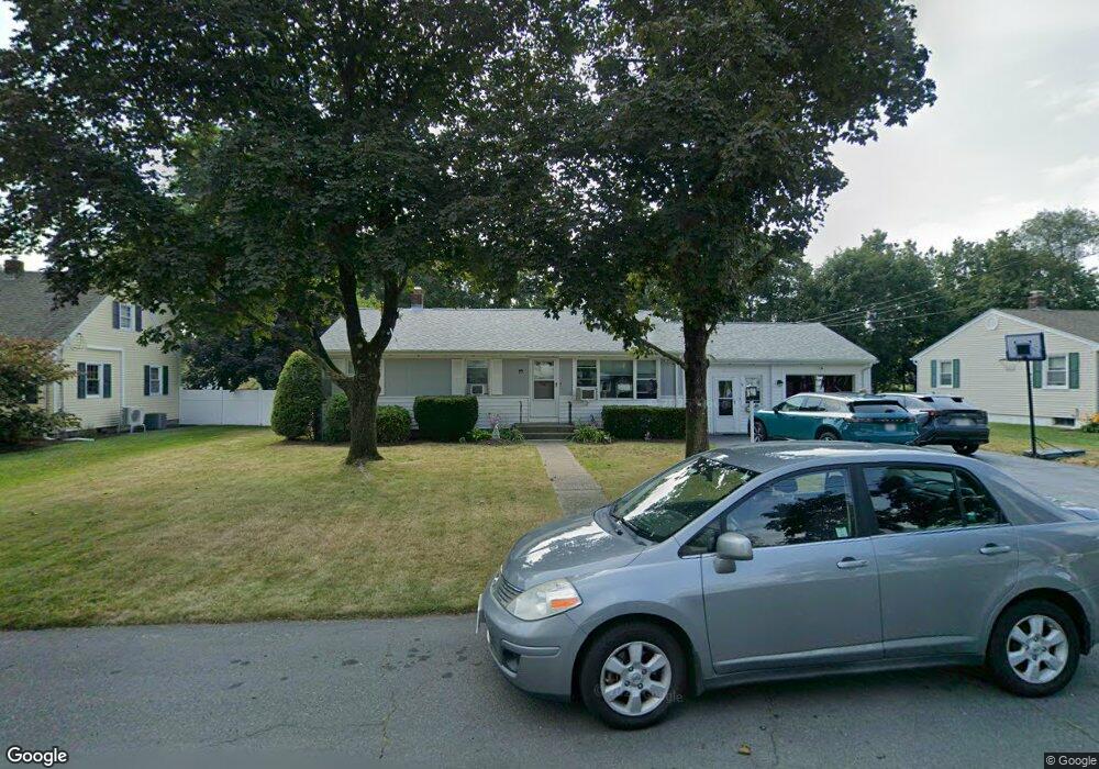
19 Esther Ave North Attleboro, MA 02760
North Attleboro NeighborhoodEstimated Value: $599,977 - $608,000
3
Beds
1
Bath
1,429
Sq Ft
$422/Sq Ft
Est. Value
About This Home
This home is located at 19 Esther Ave, North Attleboro, MA 02760 and is currently estimated at $603,744, approximately $422 per square foot. 19 Esther Ave is a home located in Bristol County with nearby schools including North Attleboro High School, Cadence Academy Preschool - North Attleborough, and Bishop Feehan High School.
Ownership History
Date
Name
Owned For
Owner Type
Purchase Details
Closed on
Jun 29, 2005
Sold by
Macdonald Katherine A
Bought by
Luciano Daniel P and Luciano Megan
Current Estimated Value
Home Financials for this Owner
Home Financials are based on the most recent Mortgage that was taken out on this home.
Original Mortgage
$191,000
Interest Rate
5.73%
Mortgage Type
Purchase Money Mortgage
Purchase Details
Closed on
Jun 2, 1997
Sold by
Hogan John J
Bought by
Macdonald Katherine A
Home Financials for this Owner
Home Financials are based on the most recent Mortgage that was taken out on this home.
Original Mortgage
$115,900
Interest Rate
8.09%
Mortgage Type
Purchase Money Mortgage
Create a Home Valuation Report for This Property
The Home Valuation Report is an in-depth analysis detailing your home's value as well as a comparison with similar homes in the area
Home Values in the Area
Average Home Value in this Area
Purchase History
| Date | Buyer | Sale Price | Title Company |
|---|---|---|---|
| Luciano Daniel P | $332,500 | -- | |
| Macdonald Katherine A | $144,900 | -- |
Source: Public Records
Mortgage History
| Date | Status | Borrower | Loan Amount |
|---|---|---|---|
| Open | Macdonald Katherine A | $187,000 | |
| Closed | Luciano Daniel P | $191,000 | |
| Previous Owner | Macdonald Katherine A | $115,900 | |
| Previous Owner | Macdonald Katherine A | $35,000 |
Source: Public Records
Tax History Compared to Growth
Tax History
| Year | Tax Paid | Tax Assessment Tax Assessment Total Assessment is a certain percentage of the fair market value that is determined by local assessors to be the total taxable value of land and additions on the property. | Land | Improvement |
|---|---|---|---|---|
| 2025 | $5,698 | $483,300 | $148,300 | $335,000 |
| 2024 | $5,398 | $467,800 | $148,300 | $319,500 |
| 2023 | $5,226 | $408,600 | $148,300 | $260,300 |
| 2022 | $4,828 | $346,600 | $148,300 | $198,300 |
| 2021 | $5,146 | $360,600 | $148,300 | $212,300 |
| 2020 | $4,846 | $337,700 | $148,300 | $189,400 |
| 2019 | $4,617 | $324,200 | $134,800 | $189,400 |
| 2018 | $4,062 | $304,500 | $134,800 | $169,700 |
| 2017 | $3,917 | $296,300 | $134,800 | $161,500 |
| 2016 | $3,842 | $290,600 | $149,700 | $140,900 |
| 2015 | $3,663 | $278,800 | $149,700 | $129,100 |
| 2014 | $3,428 | $258,900 | $131,500 | $127,400 |
Source: Public Records
Map
Nearby Homes
- 116 George St
- 16 Raymond Hall Dr
- 10 Sleepy Hollow Cir
- 15 Old Wood Rd
- 11 Landry Ave
- 28 Messenger St
- 33 Dublin Way
- 57 Vine St
- 2 George St Unit C
- 9 Sunnyside Dr Unit 9
- Lot 5 Jeffrey Dr
- 166 E Bacon St Unit 4
- Lot 2 Jeffrey Dr
- 24 Red Coat Ln
- 115 Westfield Dr
- 12 Houde St
- 2 Woodridge St Unit 2
- 17 Peters Way
- 52 George St Unit B
- 36 Cranberry Rd