19 Estuary Way Gloucester, MA 01930
West Gloucester NeighborhoodEstimated Value: $1,481,000 - $2,952,352
3
Beds
4
Baths
3,200
Sq Ft
$685/Sq Ft
Est. Value
About This Home
This home is located at 19 Estuary Way, Gloucester, MA 01930 and is currently estimated at $2,191,338, approximately $684 per square foot. 19 Estuary Way is a home with nearby schools including West Parish, Ralph B O'maley Middle School, and Gloucester High School.
Ownership History
Date
Name
Owned For
Owner Type
Purchase Details
Closed on
Apr 16, 2022
Sold by
Mcniff John D and Mcniff Leslie E
Bought by
Mcniff Family 2021 Ret and Mcniff
Current Estimated Value
Purchase Details
Closed on
Mar 17, 2020
Sold by
Mcniff John D
Bought by
Mcniff John D and Mcniff Leslie E
Home Financials for this Owner
Home Financials are based on the most recent Mortgage that was taken out on this home.
Original Mortgage
$504,000
Interest Rate
3.4%
Mortgage Type
New Conventional
Purchase Details
Closed on
Dec 28, 2018
Sold by
Mcniff Company Llc
Bought by
Mcniff John D
Home Financials for this Owner
Home Financials are based on the most recent Mortgage that was taken out on this home.
Original Mortgage
$500,000
Interest Rate
4.8%
Mortgage Type
New Conventional
Create a Home Valuation Report for This Property
The Home Valuation Report is an in-depth analysis detailing your home's value as well as a comparison with similar homes in the area
Home Values in the Area
Average Home Value in this Area
Purchase History
| Date | Buyer | Sale Price | Title Company |
|---|---|---|---|
| Mcniff Family 2021 Ret | -- | None Available | |
| Mcniff John D | -- | None Available | |
| Mcniff John D | -- | -- |
Source: Public Records
Mortgage History
| Date | Status | Borrower | Loan Amount |
|---|---|---|---|
| Previous Owner | Mcniff John D | $504,000 | |
| Previous Owner | Mcniff John D | $500,000 |
Source: Public Records
Tax History
| Year | Tax Paid | Tax Assessment Tax Assessment Total Assessment is a certain percentage of the fair market value that is determined by local assessors to be the total taxable value of land and additions on the property. | Land | Improvement |
|---|---|---|---|---|
| 2025 | $21,350 | $2,196,500 | $821,900 | $1,374,600 |
| 2024 | $19,934 | $2,048,700 | $782,200 | $1,266,500 |
| 2023 | $17,737 | $1,674,900 | $699,200 | $975,700 |
| 2022 | $17,202 | $1,466,500 | $606,900 | $859,600 |
| 2021 | $16,707 | $1,343,000 | $552,700 | $790,300 |
| 2020 | $8,505 | $689,800 | $438,800 | $251,000 |
| 2019 | $5,421 | $427,200 | $427,200 | $0 |
Source: Public Records
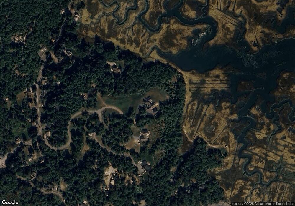
Map
Nearby Homes
- 5 Samoset Rd Unit B
- 368 Essex Ave
- 5 Lepage Ln
- 24 Cobblestone Ln Unit 603
- 13 Honeysuckle Rd
- 167 Atlantic St
- 145 Essex Ave Unit 402
- 178 Atlantic St
- 7 Leaman Dr
- 2 Breezy Point Rd
- 3 Rockland St
- 3 Deacon Farm Ln
- 226 Atlantic St
- 31 Echo Ave
- 6 Monroe Ct
- 587 Essex Ave
- 15 Harvard St
- 5 Marshfield St
- 8 Mystic Ave
- 13 Mystic Ave
- 17 Estuary Way
- 17 Estuary Way
- 125 Concord St
- 15 Estuary Way
- 50 Causeway St Unit 3
- 50 Causeway St
- 50 Causeway St
- 50 Causeway St Unit 2
- 123 Concord St
- 28 Causeway St
- 113 Concord St
- 117 Concord St
- 105 Concord St
- 52 Causeway St
- 60 Causeway St
- 103 Concord St
- 121 Concord St
- 107 Concord St
- 101 Concord St
- 119 Concord St
Your Personal Tour Guide
Ask me questions while you tour the home.