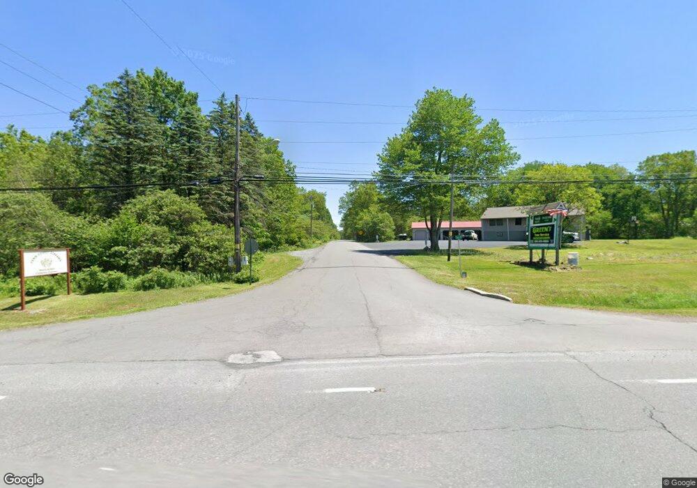
19 Fawn Rd Jim Thorpe, PA 18229
Estimated Value: $310,000 - $348,000
3
Beds
2
Baths
1,390
Sq Ft
$232/Sq Ft
Est. Value
About This Home
This home is located at 19 Fawn Rd, Jim Thorpe, PA 18229 and is currently estimated at $323,001, approximately $232 per square foot. 19 Fawn Rd is a home located in Carbon County with nearby schools including Jim Thorpe Area High School.
Ownership History
Date
Name
Owned For
Owner Type
Purchase Details
Closed on
Dec 24, 2020
Sold by
Ducan John Stephen and Ducan Rhonda Baird
Bought by
Fiscella Christina R and Fiscella Danielle M
Current Estimated Value
Home Financials for this Owner
Home Financials are based on the most recent Mortgage that was taken out on this home.
Original Mortgage
$168,300
Outstanding Balance
$149,864
Interest Rate
2.71%
Mortgage Type
New Conventional
Estimated Equity
$173,137
Purchase Details
Closed on
Oct 12, 2018
Sold by
Rosica Christopher V and Rosica Colleen A
Bought by
Baird Duncan John Stephen and Baird Duncan Rhonda
Home Financials for this Owner
Home Financials are based on the most recent Mortgage that was taken out on this home.
Original Mortgage
$104,800
Interest Rate
4.6%
Mortgage Type
New Conventional
Purchase Details
Closed on
May 15, 1998
Bought by
Rosica Christopher and Rosica Colleen A
Create a Home Valuation Report for This Property
The Home Valuation Report is an in-depth analysis detailing your home's value as well as a comparison with similar homes in the area
Home Values in the Area
Average Home Value in this Area
Purchase History
| Date | Buyer | Sale Price | Title Company |
|---|---|---|---|
| Fiscella Christina R | $178,000 | A One Abstract | |
| Baird Duncan John Stephen | -- | None Available | |
| Rosica Christopher | $83,000 | -- |
Source: Public Records
Mortgage History
| Date | Status | Borrower | Loan Amount |
|---|---|---|---|
| Open | Fiscella Christina R | $168,300 | |
| Previous Owner | Baird Duncan John Stephen | $104,800 |
Source: Public Records
Tax History Compared to Growth
Tax History
| Year | Tax Paid | Tax Assessment Tax Assessment Total Assessment is a certain percentage of the fair market value that is determined by local assessors to be the total taxable value of land and additions on the property. | Land | Improvement |
|---|---|---|---|---|
| 2025 | $3,091 | $45,150 | $6,500 | $38,650 |
| 2024 | $3,219 | $45,150 | $6,500 | $38,650 |
| 2023 | $2,922 | $45,150 | $6,500 | $38,650 |
| 2022 | $2,922 | $45,150 | $6,500 | $38,650 |
| 2021 | $2,922 | $45,150 | $6,500 | $38,650 |
| 2020 | $2,922 | $45,150 | $6,500 | $38,650 |
| 2019 | $2,832 | $45,150 | $6,500 | $38,650 |
| 2018 | $2,832 | $45,150 | $6,500 | $38,650 |
| 2017 | $2,773 | $45,150 | $6,500 | $38,650 |
| 2016 | -- | $45,150 | $6,500 | $38,650 |
| 2015 | -- | $45,150 | $6,500 | $38,650 |
| 2014 | -- | $45,150 | $6,500 | $38,650 |
Source: Public Records
Map
Nearby Homes
- A141 Rosewood Dr
- 135 Rosewood Dr
- 29 Hollyberry Ln
- 148 Broad Mountain View Dr
- 219 Mountain View
- 180 Mountain View
- A278 Sunrise Dr
- A280 Sunrise Dr
- A279 Sunrise Dr
- 54 Buttonwood Dr
- A384 Sunset Dr
- A385 Sunset Dr
- A366 Sparrow Ln
- 367 & 368 Sparrow Ln
- 2281 Seneca & W Cherokee Trail
- 367 Sparrow Ln
- Lot# 367 & 368 Sparrow Ln
- 44 Ash Dr
- 23 Maple Dr
- 0 Rd
