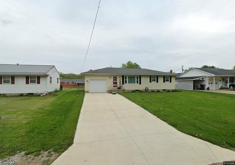
19 Fearn Ave Mount Vernon, OH 43050
Estimated Value: $161,000 - $205,000
3
Beds
2
Baths
1,107
Sq Ft
$166/Sq Ft
Est. Value
About This Home
This home is located at 19 Fearn Ave, Mount Vernon, OH 43050 and is currently estimated at $183,746, approximately $165 per square foot. 19 Fearn Ave is a home located in Knox County with nearby schools including Mount Vernon High School, St. Vincent de Paul School, and Ruscel Montessori Childrens House.
Ownership History
Date
Name
Owned For
Owner Type
Purchase Details
Closed on
Oct 21, 2021
Sold by
Doup Delaney M
Bought by
Doup Michael D and Doup Tina M
Current Estimated Value
Purchase Details
Closed on
Aug 31, 2020
Sold by
Doup Michael D and Doup-Bailey Debra D
Bought by
Doup Michael D and Doup Tina M
Purchase Details
Closed on
Jan 14, 2020
Sold by
Doup John Daniel
Bought by
Doup Michael D and Doup-Bailey Debra D
Purchase Details
Closed on
Jul 13, 2004
Sold by
Doup John D and Mary Lou
Bought by
Doup John Daniel
Purchase Details
Closed on
Jul 6, 1995
Sold by
Doup Mary Lou
Bought by
Doup John D and Mary Lou
Create a Home Valuation Report for This Property
The Home Valuation Report is an in-depth analysis detailing your home's value as well as a comparison with similar homes in the area
Home Values in the Area
Average Home Value in this Area
Purchase History
| Date | Buyer | Sale Price | Title Company |
|---|---|---|---|
| Doup Michael D | -- | -- | |
| Doup Michael D | $60,000 | None Available | |
| Doup Michael D | -- | -- | |
| Doup John Daniel | -- | -- | |
| Doup John D | -- | -- |
Source: Public Records
Tax History Compared to Growth
Tax History
| Year | Tax Paid | Tax Assessment Tax Assessment Total Assessment is a certain percentage of the fair market value that is determined by local assessors to be the total taxable value of land and additions on the property. | Land | Improvement |
|---|---|---|---|---|
| 2024 | $1,623 | $41,060 | $5,560 | $35,500 |
| 2023 | $1,623 | $41,060 | $5,560 | $35,500 |
| 2022 | $1,418 | $32,590 | $4,410 | $28,180 |
| 2021 | $1,418 | $32,590 | $4,410 | $28,180 |
| 2020 | $1,381 | $32,590 | $4,410 | $28,180 |
| 2019 | $1,224 | $26,930 | $4,760 | $22,170 |
| 2018 | $1,227 | $26,930 | $4,760 | $22,170 |
| 2017 | $1,207 | $26,930 | $4,760 | $22,170 |
| 2016 | $1,120 | $24,930 | $4,410 | $20,520 |
| 2015 | $1,125 | $24,930 | $4,410 | $20,520 |
| 2014 | $1,130 | $24,930 | $4,410 | $20,520 |
| 2013 | $1,173 | $24,600 | $4,140 | $20,460 |
Source: Public Records
Map
Nearby Homes
- 200 Mansfield Rd
- 109 Northridge Dr
- 107 Northridge Dr
- 769 Upper Fredericktown Rd
- 33 Longitude Dr
- 12567 Upper Fredericktown Rd
- 800 N Sandusky St
- 9 Rose Ave
- 12 Northview Dr
- 13219 Old Mansfield Rd
- 0 Indian Hills Rd
- 14835 Indian Hills Rd
- 10 Yoakam Dr
- 812 N Gay St
- 00 Banning Rd
- 0 Banning Rd Unit 9067916
- 0 Banning Rd Unit 225030037
- 0 Banning Rd Unit 20250568
- 300 1/2 Calhoun St