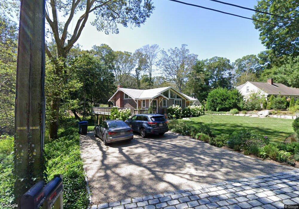
19 Fern Ln Falmouth, MA 2543
Woods Hole NeighborhoodEstimated Value: $978,000 - $1,331,823
4
Beds
2
Baths
1,898
Sq Ft
$647/Sq Ft
Est. Value
About This Home
This home is located at 19 Fern Ln, Falmouth, MA 2543 and is currently estimated at $1,227,706, approximately $646 per square foot. 19 Fern Ln is a home located in Barnstable County with nearby schools including Mullen-Hall School, Lawrence School, and Morse Pond School.
Ownership History
Date
Name
Owned For
Owner Type
Purchase Details
Closed on
Mar 19, 2019
Sold by
Toner H Denis H and Toner Karen A
Bought by
Karen A Toner Ret 2017 and Toner
Current Estimated Value
Purchase Details
Closed on
Dec 5, 2016
Sold by
Krane Stephen M Est and Krane
Bought by
Toner 3Rd H Denis and Toner Karen A
Home Financials for this Owner
Home Financials are based on the most recent Mortgage that was taken out on this home.
Original Mortgage
$400,000
Interest Rate
3.52%
Mortgage Type
New Conventional
Create a Home Valuation Report for This Property
The Home Valuation Report is an in-depth analysis detailing your home's value as well as a comparison with similar homes in the area
Home Values in the Area
Average Home Value in this Area
Purchase History
| Date | Buyer | Sale Price | Title Company |
|---|---|---|---|
| Karen A Toner Ret 2017 | -- | -- | |
| Toner 3Rd H Denis | $512,000 | -- |
Source: Public Records
Mortgage History
| Date | Status | Borrower | Loan Amount |
|---|---|---|---|
| Previous Owner | Toner 3Rd H Denis | $400,000 |
Source: Public Records
Tax History Compared to Growth
Tax History
| Year | Tax Paid | Tax Assessment Tax Assessment Total Assessment is a certain percentage of the fair market value that is determined by local assessors to be the total taxable value of land and additions on the property. | Land | Improvement |
|---|---|---|---|---|
| 2025 | $6,339 | $1,079,900 | $624,100 | $455,800 |
| 2024 | $5,997 | $955,000 | $540,400 | $414,600 |
| 2023 | $5,428 | $784,400 | $430,800 | $353,600 |
| 2022 | $5,871 | $729,300 | $431,100 | $298,200 |
| 2021 | $4,780 | $562,300 | $369,100 | $193,200 |
| 2020 | $4,542 | $528,700 | $335,500 | $193,200 |
| 2019 | $4,432 | $517,700 | $335,500 | $182,200 |
| 2018 | $4,357 | $506,600 | $335,500 | $171,100 |
| 2017 | $4,109 | $481,700 | $335,500 | $146,200 |
| 2016 | $4,032 | $481,700 | $335,500 | $146,200 |
| 2015 | $3,945 | $481,700 | $335,500 | $146,200 |
| 2014 | $3,870 | $474,900 | $335,600 | $139,300 |
Source: Public Records
Map
Nearby Homes
- 533 Woods Hole Rd Unit B101
- 533 Woods Hole Rd Unit D101
- 533 Woods Hole Rd Unit B102
- 533 Woods Hole Rd Unit E202
- 533 Woods Hole Rd Unit E301
- 9 Strawberry Hill Rd
- 9 Strawberry Hill Rd
- 82 Harbor Hill Rd
- 14 School St
- 10 Quissett Ave
- 54 Whitman Rd
- 5 Park Rd
- 29 Wilson Rd
- 76 F r Lillie Rd
- 251 Woods Hole Rd
- 87 Oyster Pond Rd
- 44 Carey Ln
- 38 Landfall Unit 38
- 38 Landfall