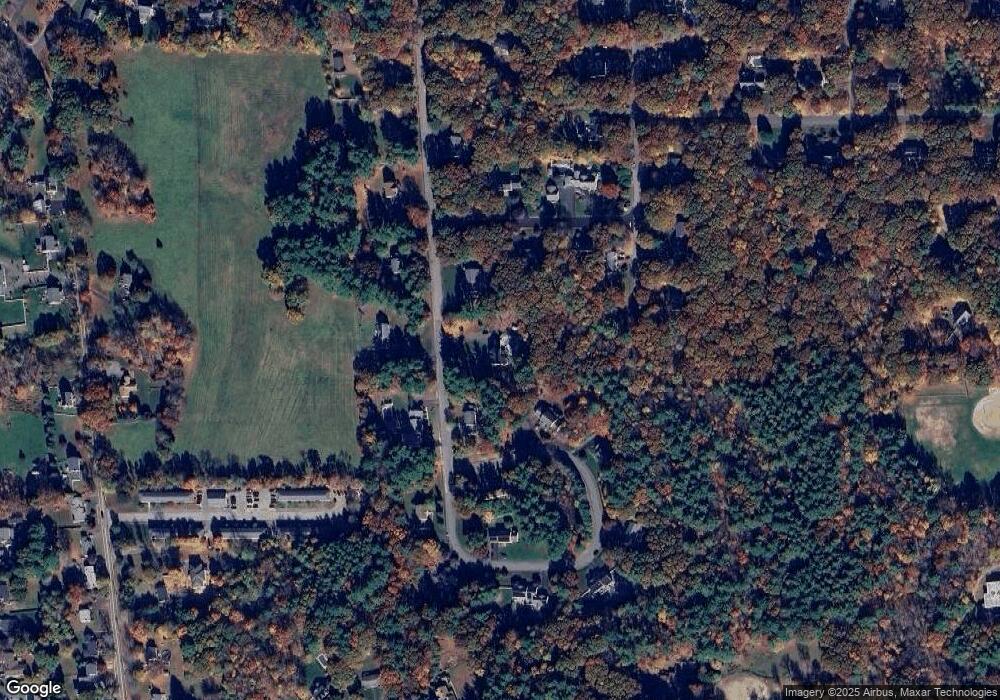
19 Field Rd Medway, MA 02053
Estimated Value: $984,000 - $1,239,000
6
Beds
5
Baths
3,010
Sq Ft
$367/Sq Ft
Est. Value
About This Home
This home is located at 19 Field Rd, Medway, MA 02053 and is currently estimated at $1,104,680, approximately $367 per square foot. 19 Field Rd is a home located in Norfolk County with nearby schools including John D. McGovern Elementary School, Burke-Memorial Elementary, and Medway Middle School.
Ownership History
Date
Name
Owned For
Owner Type
Purchase Details
Closed on
Jul 20, 1998
Sold by
Hatch Christopher H and Hatch Carol M
Bought by
Bahery Michael and Bahery Michelle
Current Estimated Value
Home Financials for this Owner
Home Financials are based on the most recent Mortgage that was taken out on this home.
Original Mortgage
$205,000
Outstanding Balance
$41,879
Interest Rate
6.98%
Mortgage Type
Purchase Money Mortgage
Estimated Equity
$1,062,801
Create a Home Valuation Report for This Property
The Home Valuation Report is an in-depth analysis detailing your home's value as well as a comparison with similar homes in the area
Home Values in the Area
Average Home Value in this Area
Purchase History
| Date | Buyer | Sale Price | Title Company |
|---|---|---|---|
| Bahery Michael | $381,000 | -- |
Source: Public Records
Mortgage History
| Date | Status | Borrower | Loan Amount |
|---|---|---|---|
| Open | Bahery Michael | $205,000 | |
| Previous Owner | Bahery Michael | $243,000 |
Source: Public Records
Tax History Compared to Growth
Tax History
| Year | Tax Paid | Tax Assessment Tax Assessment Total Assessment is a certain percentage of the fair market value that is determined by local assessors to be the total taxable value of land and additions on the property. | Land | Improvement |
|---|---|---|---|---|
| 2025 | $11,741 | $823,900 | $339,900 | $484,000 |
| 2024 | $11,864 | $823,900 | $339,900 | $484,000 |
| 2023 | $11,792 | $739,800 | $309,400 | $430,400 |
| 2022 | $10,988 | $649,000 | $228,800 | $420,200 |
| 2021 | $11,061 | $633,500 | $213,500 | $420,000 |
| 2020 | $11,025 | $630,000 | $213,500 | $416,500 |
| 2019 | $10,294 | $606,600 | $204,800 | $401,800 |
| 2018 | $11,910 | $674,400 | $204,800 | $469,600 |
| 2017 | $11,721 | $654,100 | $196,100 | $458,000 |
| 2016 | $11,369 | $627,800 | $185,200 | $442,600 |
| 2015 | $11,316 | $620,400 | $185,200 | $435,200 |
| 2014 | $10,592 | $562,200 | $185,200 | $377,000 |
Source: Public Records
Map
Nearby Homes