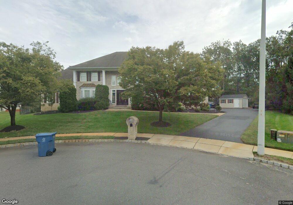
19 Freedom Ct Howell, NJ 07731
Candlewood NeighborhoodEstimated Value: $1,233,725 - $1,410,000
5
Beds
3
Baths
5,238
Sq Ft
$253/Sq Ft
Est. Value
About This Home
This home is located at 19 Freedom Ct, Howell, NJ 07731 and is currently estimated at $1,323,431, approximately $252 per square foot. 19 Freedom Ct is a home located in Monmouth County with nearby schools including Land O' Pines School, Newbury School, and Howell Middle School North.
Ownership History
Date
Name
Owned For
Owner Type
Purchase Details
Closed on
Oct 21, 2011
Sold by
Ailqizaconac Family Limited Partnership and Riello Anthony
Bought by
Gozsa Kimberly L
Current Estimated Value
Home Financials for this Owner
Home Financials are based on the most recent Mortgage that was taken out on this home.
Original Mortgage
$464,000
Outstanding Balance
$41,724
Interest Rate
3.3%
Mortgage Type
New Conventional
Estimated Equity
$1,281,707
Purchase Details
Closed on
Oct 20, 2003
Sold by
Mgaw Group Inc
Bought by
Riello Anthony and Gozsa Kimberly
Home Financials for this Owner
Home Financials are based on the most recent Mortgage that was taken out on this home.
Original Mortgage
$531,000
Interest Rate
5.9%
Create a Home Valuation Report for This Property
The Home Valuation Report is an in-depth analysis detailing your home's value as well as a comparison with similar homes in the area
Home Values in the Area
Average Home Value in this Area
Purchase History
| Date | Buyer | Sale Price | Title Company |
|---|---|---|---|
| Gozsa Kimberly L | -- | None Available | |
| Riello Anthony | $614,990 | -- |
Source: Public Records
Mortgage History
| Date | Status | Borrower | Loan Amount |
|---|---|---|---|
| Open | Gozsa Kimberly L | $464,000 | |
| Previous Owner | Riello Anthony | $531,000 |
Source: Public Records
Tax History
| Year | Tax Paid | Tax Assessment Tax Assessment Total Assessment is a certain percentage of the fair market value that is determined by local assessors to be the total taxable value of land and additions on the property. | Land | Improvement |
|---|---|---|---|---|
| 2025 | $17,640 | $1,107,400 | $329,100 | $778,300 |
| 2024 | $17,480 | $992,100 | $228,100 | $764,000 |
Source: Public Records
Map
Nearby Homes
- 17 Freedom Ct
- 18 Freedom Ct
- 16 Southport Dr
- 18 Southport Dr
- 15 Freedom Ct
- 16 Freedom Ct
- 14 Southport Dr
- 20 Southport Dr
- 14 Freedom Ct
- 9 Stockton Way
- 11 Freedom Ct
- 11 Stockton Way
- 13 Stockton Way
- 22 Southport Dr
- 19 Southport Dr
- 17 Southport Dr
- 7 Stockton Way
- 12 Freedom Ct
- 113 Greymoor Rd
- 21 Southport Dr
Your Personal Tour Guide
Ask me questions while you tour the home.