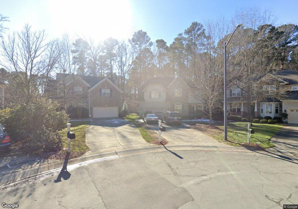
19 Frontier Way Durham, NC 27713
South Durham NeighborhoodEstimated Value: $640,726 - $660,000
3
Beds
3
Baths
2,910
Sq Ft
$223/Sq Ft
Est. Value
About This Home
This home is located at 19 Frontier Way, Durham, NC 27713 and is currently estimated at $649,432, approximately $223 per square foot. 19 Frontier Way is a home located in Durham County with nearby schools including Lowe's Grove Middle, Hillside High School, and Kestrel Heights School.
Ownership History
Date
Name
Owned For
Owner Type
Purchase Details
Closed on
Apr 26, 2020
Sold by
Woody Robert A and Woody Nancy Tom
Bought by
Woody Robert A and Woody Nancy Tom
Current Estimated Value
Home Financials for this Owner
Home Financials are based on the most recent Mortgage that was taken out on this home.
Original Mortgage
$316,320
Outstanding Balance
$281,862
Interest Rate
3.6%
Mortgage Type
New Conventional
Estimated Equity
$367,570
Purchase Details
Closed on
Jan 12, 2016
Sold by
Tonneson Frank D
Bought by
Woody Robert A and Tom Nancy
Home Financials for this Owner
Home Financials are based on the most recent Mortgage that was taken out on this home.
Original Mortgage
$340,400
Interest Rate
4.16%
Mortgage Type
New Conventional
Purchase Details
Closed on
Dec 21, 2006
Sold by
Centex Homes
Bought by
Tonneson Frank D and Tonneson Sandra
Create a Home Valuation Report for This Property
The Home Valuation Report is an in-depth analysis detailing your home's value as well as a comparison with similar homes in the area
Home Values in the Area
Average Home Value in this Area
Purchase History
| Date | Buyer | Sale Price | Title Company |
|---|---|---|---|
| Woody Robert A | -- | Solidifi Title & Closing Llc | |
| Woody Robert A | $370,000 | -- | |
| Tonneson Frank D | $380,000 | None Available |
Source: Public Records
Mortgage History
| Date | Status | Borrower | Loan Amount |
|---|---|---|---|
| Open | Woody Robert A | $316,320 | |
| Previous Owner | Woody Robert A | $340,400 |
Source: Public Records
Tax History
| Year | Tax Paid | Tax Assessment Tax Assessment Total Assessment is a certain percentage of the fair market value that is determined by local assessors to be the total taxable value of land and additions on the property. | Land | Improvement |
|---|---|---|---|---|
| 2025 | $6,044 | $609,742 | $154,125 | $455,617 |
| 2024 | $5,206 | $373,245 | $85,875 | $287,370 |
| 2023 | $4,889 | $373,245 | $85,875 | $287,370 |
| 2022 | $4,777 | $373,245 | $85,875 | $287,370 |
| 2021 | $4,755 | $373,245 | $85,875 | $287,370 |
| 2020 | $4,643 | $373,245 | $85,875 | $287,370 |
| 2019 | $4,643 | $373,245 | $85,875 | $287,370 |
| 2018 | $4,625 | $340,973 | $68,700 | $272,273 |
| 2017 | $4,591 | $340,973 | $68,700 | $272,273 |
| 2016 | $4,436 | $340,973 | $68,700 | $272,273 |
| 2015 | $5,371 | $387,967 | $103,101 | $284,866 |
| 2014 | $5,371 | $387,967 | $103,101 | $284,866 |
Source: Public Records
Map
Nearby Homes
- 7 Scenic Ct
- 109 Settlers Mill Ln
- 6353 Grandale Dr
- 7 Monteith Ct
- 5504 Pelham Rd
- 124 Wicklow Ln
- 4 Green Springs Ct
- 1 Haycox Ct
- 111 Wenonah Way
- 1010 Sturbridge Dr
- 43 Redbud Ct
- 1304 Seaton Rd Unit 2
- 1425 Cherob Ln
- 903 Limerick Ln
- 1621 Clermont Rd
- 1446 Clermont Rd
- 1448 Cherob Ln
- 4517 Grandale Dr
- 1021 Pondfield Way
- 1509 Clermont Rd Unit T27
- 17 Frontier Way
- 21 Frontier Way
- 15 Frontier Way
- 14 Moortown Ct
- 16 Moortown Ct
- 12 Moortown Ct
- 13 Frontier Way
- 18 Frontier Way
- 10 Moortown Ct
- 16 Frontier Way
- 11 Frontier Way
- 14 Frontier Way
- 8 Moortown Ct
- 12 Frontier Way
- 9 Frontier Way
- 9 Moortown Ct
- 10 Frontier Way
- 6 Moortown Ct
- 17 Moortown Ct
- 7 Frontier Way
Your Personal Tour Guide
Ask me questions while you tour the home.