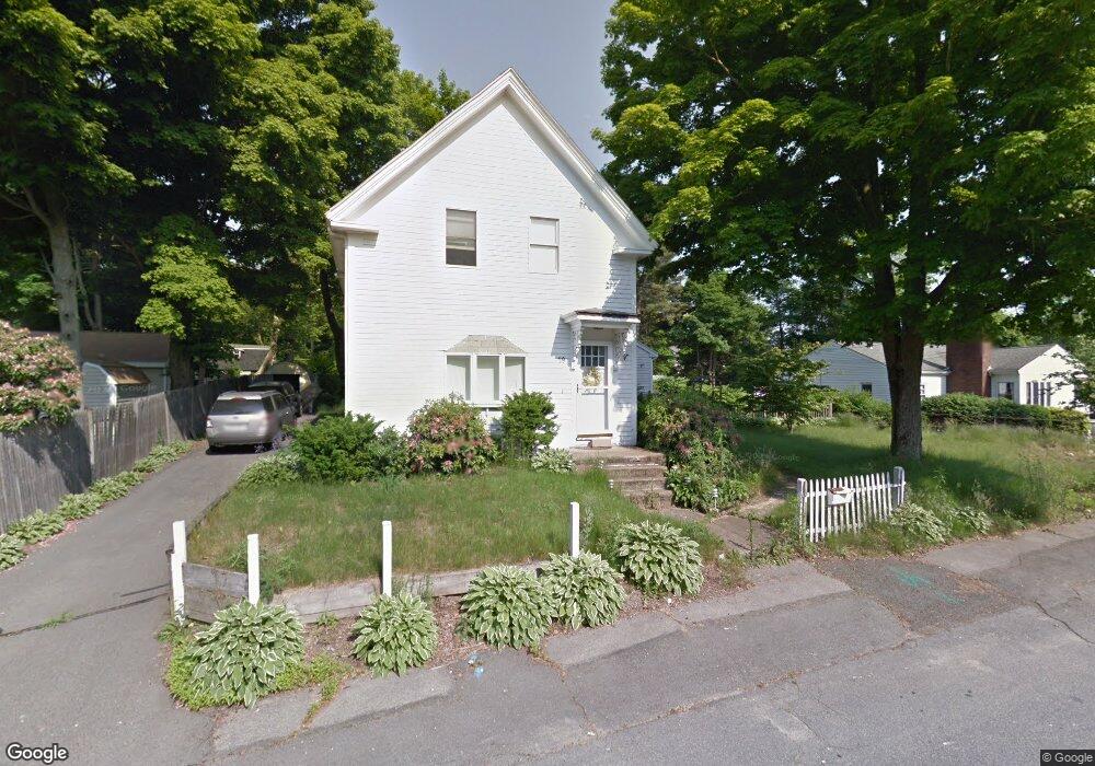
19 Garfield Rd Holbrook, MA 02343
Estimated Value: $584,209 - $838,000
3
Beds
2
Baths
1,485
Sq Ft
$450/Sq Ft
Est. Value
About This Home
This home is located at 19 Garfield Rd, Holbrook, MA 02343 and is currently estimated at $667,552, approximately $449 per square foot. 19 Garfield Rd is a home located in Norfolk County with nearby schools including John F. Kennedy Elementary School, Holbrook Middle High School, and Boston Higashi School.
Ownership History
Date
Name
Owned For
Owner Type
Purchase Details
Closed on
Nov 12, 1999
Sold by
Kraemer Joseph B and Kraemer Maria Lr
Bought by
Ruth John V and Ruth Marion J
Current Estimated Value
Home Financials for this Owner
Home Financials are based on the most recent Mortgage that was taken out on this home.
Original Mortgage
$194,750
Outstanding Balance
$59,137
Interest Rate
7.68%
Mortgage Type
Purchase Money Mortgage
Estimated Equity
$608,415
Purchase Details
Closed on
Mar 1, 1989
Sold by
Mahoney James W
Bought by
Kraemer Joseph B
Home Financials for this Owner
Home Financials are based on the most recent Mortgage that was taken out on this home.
Original Mortgage
$147,600
Interest Rate
10.63%
Mortgage Type
Purchase Money Mortgage
Create a Home Valuation Report for This Property
The Home Valuation Report is an in-depth analysis detailing your home's value as well as a comparison with similar homes in the area
Home Values in the Area
Average Home Value in this Area
Purchase History
| Date | Buyer | Sale Price | Title Company |
|---|---|---|---|
| Ruth John V | $205,000 | -- | |
| Kraemer Joseph B | $164,000 | -- | |
| Kraemer Joseph B | $164,000 | -- |
Source: Public Records
Mortgage History
| Date | Status | Borrower | Loan Amount |
|---|---|---|---|
| Open | Kraemer Joseph B | $194,750 | |
| Previous Owner | Kraemer Joseph B | $147,600 |
Source: Public Records
Tax History Compared to Growth
Tax History
| Year | Tax Paid | Tax Assessment Tax Assessment Total Assessment is a certain percentage of the fair market value that is determined by local assessors to be the total taxable value of land and additions on the property. | Land | Improvement |
|---|---|---|---|---|
| 2025 | $68 | $519,200 | $254,900 | $264,300 |
| 2024 | $6,401 | $476,300 | $234,100 | $242,200 |
| 2023 | $6,690 | $435,000 | $206,300 | $228,700 |
| 2022 | $6,367 | $386,100 | $184,400 | $201,700 |
| 2021 | $6,153 | $357,300 | $167,600 | $189,700 |
| 2020 | $6,338 | $345,000 | $162,800 | $182,200 |
| 2019 | $6,474 | $332,700 | $155,000 | $177,700 |
| 2018 | $6,311 | $305,300 | $133,600 | $171,700 |
| 2017 | $5,940 | $284,200 | $121,900 | $162,300 |
| 2016 | $5,248 | $267,200 | $118,400 | $148,800 |
| 2015 | $4,850 | $254,200 | $111,400 | $142,800 |
| 2014 | $4,441 | $236,600 | $93,800 | $142,800 |
Source: Public Records
Map
Nearby Homes
- 152 S Franklin St
- 181 S Franklin St Unit 102
- 181 S Franklin St Unit 207
- 27 Winter St
- 45 King Rd
- 14 Fern Rd
- 40 Overlook Rd
- 148 N Franklin St
- 375 S Franklin St Unit 1
- 5 Clarendon Cir Unit Lot 4
- 27 Ell Rd
- 35 Rindone St
- 360 Plymouth St
- 19 Bradford St
- 16 Loud Rd
- 27 Arnold St
- 96 Roberts Ave
- 13 Mayflower Rd
- 75 Hilltop Rd
- 28 Hilltop Rd