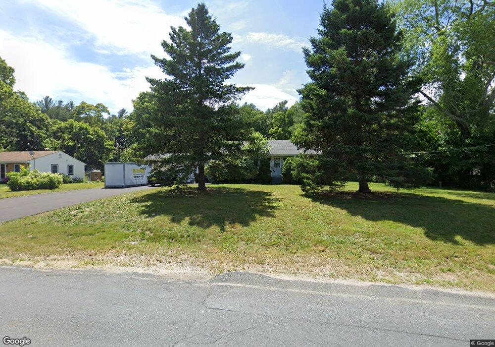
19 Gifford Rd Westport, MA 02790
North Westport NeighborhoodEstimated Value: $407,000 - $506,000
2
Beds
--
Bath
1,008
Sq Ft
$436/Sq Ft
Est. Value
About This Home
This home is located at 19 Gifford Rd, Westport, MA 02790 and is currently estimated at $438,994, approximately $435 per square foot. 19 Gifford Rd is a home located in Bristol County with nearby schools including Alice A. Macomber Primary School, Westport Elementary School, and Westport Middle-High School.
Ownership History
Date
Name
Owned For
Owner Type
Purchase Details
Closed on
Jan 16, 2024
Sold by
Belinkoff Dorothy J Est and Groh
Bought by
Groh Frank
Current Estimated Value
Purchase Details
Closed on
May 2, 2011
Sold by
Goldstein Sanford T
Bought by
Sanford T Goldstein Re and Goldstein
Purchase Details
Closed on
Jan 23, 2007
Sold by
Goldstein Sanford T
Bought by
Groh Ruth and Goldstein Sanford T
Purchase Details
Closed on
Apr 25, 2005
Sold by
Goldstein Sanford T
Bought by
Sanford T Goldstein Re and Goldstein
Purchase Details
Closed on
Sep 19, 2003
Sold by
Goldstein Priscilla A
Bought by
Goldstein Sanford T
Home Financials for this Owner
Home Financials are based on the most recent Mortgage that was taken out on this home.
Original Mortgage
$105,000
Interest Rate
6.31%
Mortgage Type
Purchase Money Mortgage
Create a Home Valuation Report for This Property
The Home Valuation Report is an in-depth analysis detailing your home's value as well as a comparison with similar homes in the area
Home Values in the Area
Average Home Value in this Area
Purchase History
| Date | Buyer | Sale Price | Title Company |
|---|---|---|---|
| Groh Frank | -- | None Available | |
| Sanford T Goldstein Re | -- | -- | |
| Groh Ruth | -- | -- | |
| Goldstein Sanford T | -- | -- | |
| Sanford T Goldstein Re | -- | -- | |
| Goldstein Sanford T | $200,000 | -- |
Source: Public Records
Mortgage History
| Date | Status | Borrower | Loan Amount |
|---|---|---|---|
| Previous Owner | Goldstein Sanford T | $105,000 |
Source: Public Records
Tax History Compared to Growth
Tax History
| Year | Tax Paid | Tax Assessment Tax Assessment Total Assessment is a certain percentage of the fair market value that is determined by local assessors to be the total taxable value of land and additions on the property. | Land | Improvement |
|---|---|---|---|---|
| 2025 | $2,796 | $375,300 | $172,800 | $202,500 |
| 2024 | $2,730 | $353,200 | $153,500 | $199,700 |
| 2023 | $2,622 | $321,300 | $139,800 | $181,500 |
| 2022 | $2,245 | $284,700 | $139,800 | $144,900 |
| 2021 | $2,245 | $260,400 | $115,500 | $144,900 |
| 2020 | $2,156 | $255,800 | $110,900 | $144,900 |
| 2019 | $2,114 | $255,600 | $110,900 | $144,700 |
| 2018 | $1,708 | $209,100 | $112,000 | $97,100 |
| 2017 | $1,620 | $203,200 | $108,400 | $94,800 |
| 2016 | $1,540 | $194,700 | $104,800 | $89,900 |
| 2015 | $1,488 | $187,700 | $107,200 | $80,500 |
Source: Public Records
Map
Nearby Homes
- 20 Faulkner St
- 116 Gifford Rd
- 9 Kyle Jacob Rd
- 100 D Dr
- 3 Diane Way
- 0 Van Buren St
- 15 S Breault St
- 16 S Berryman St
- 9 Register Ave
- 565 Highland Ave
- 92 Benoit St
- 1276 Old Fall River Rd
- 33 William St
- 6 Beaulieu St
- 25 Beaulieu St
- 771 Sanford Rd
- 19 Charles Joseph Dr
- 128 Old Bedford Rd
- 2 Donna Marie Dr
- 27 Dias Ave