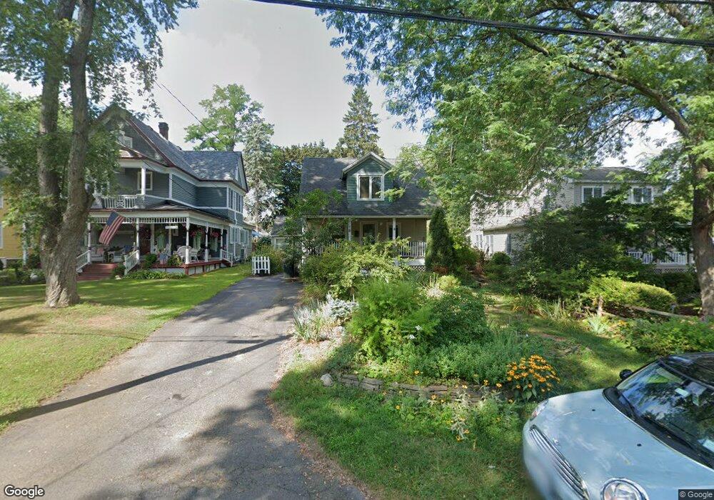
19 Glendale Ave Delmar, NY 12054
Estimated Value: $340,589 - $391,000
3
Beds
2
Baths
1,600
Sq Ft
$226/Sq Ft
Est. Value
About This Home
This home is located at 19 Glendale Ave, Delmar, NY 12054 and is currently estimated at $360,897, approximately $225 per square foot. 19 Glendale Ave is a home located in Albany County with nearby schools including St. Thomas the Apostle School and Mt. Moriah Academy.
Ownership History
Date
Name
Owned For
Owner Type
Purchase Details
Closed on
Jul 27, 2010
Sold by
Miller Lynn A
Bought by
Nelson Harry B and Nelson Helen F
Current Estimated Value
Home Financials for this Owner
Home Financials are based on the most recent Mortgage that was taken out on this home.
Original Mortgage
$195,000
Outstanding Balance
$35,434
Interest Rate
5.37%
Mortgage Type
Purchase Money Mortgage
Estimated Equity
$325,463
Purchase Details
Closed on
Oct 1, 2006
Sold by
Whiteley Michael S
Bought by
Miller Lynn A
Home Financials for this Owner
Home Financials are based on the most recent Mortgage that was taken out on this home.
Original Mortgage
$105,500
Interest Rate
6.52%
Mortgage Type
New Conventional
Purchase Details
Closed on
Sep 28, 2000
Sold by
Lee Michael R
Bought by
Whiteley Michael S
Purchase Details
Closed on
Apr 25, 1996
Sold by
Guernsey William L and Guernsey Justine M
Bought by
Lee Michael R and Lee Catherine M
Create a Home Valuation Report for This Property
The Home Valuation Report is an in-depth analysis detailing your home's value as well as a comparison with similar homes in the area
Home Values in the Area
Average Home Value in this Area
Purchase History
| Date | Buyer | Sale Price | Title Company |
|---|---|---|---|
| Nelson Harry B | $235,000 | None Available | |
| Miller Lynn A | $227,500 | None Available | |
| Whiteley Michael S | $108,000 | Richard F Anderson Jr | |
| Lee Michael R | $95,000 | -- |
Source: Public Records
Mortgage History
| Date | Status | Borrower | Loan Amount |
|---|---|---|---|
| Open | Nelson Harry B | $195,000 | |
| Previous Owner | Miller Lynn A | $105,500 |
Source: Public Records
Tax History Compared to Growth
Tax History
| Year | Tax Paid | Tax Assessment Tax Assessment Total Assessment is a certain percentage of the fair market value that is determined by local assessors to be the total taxable value of land and additions on the property. | Land | Improvement |
|---|---|---|---|---|
| 2024 | $5,757 | $190,000 | $42,500 | $147,500 |
| 2023 | $5,542 | $190,000 | $42,500 | $147,500 |
| 2022 | $5,375 | $190,000 | $42,500 | $147,500 |
| 2021 | $5,404 | $190,000 | $42,500 | $147,500 |
| 2020 | $5,372 | $190,000 | $42,500 | $147,500 |
| 2019 | $5,172 | $190,000 | $42,500 | $147,500 |
| 2018 | $5,245 | $190,000 | $42,500 | $147,500 |
| 2017 | $5,150 | $190,000 | $42,500 | $147,500 |
| 2016 | $5,150 | $190,000 | $42,500 | $147,500 |
| 2015 | -- | $190,000 | $42,500 | $147,500 |
| 2014 | -- | $190,000 | $42,500 | $147,500 |
Source: Public Records
Map
Nearby Homes
- 10 Lincoln Ave
- 358 Kenwood Ave
- 14 Maywood Rd
- 7 Snowden Ave
- 5 Morningside Dr
- 14 Norge Rd
- 5 Salisbury Rd
- 4 Woodridge Rd
- 36 Dumbarton Dr
- 65 Berwick Rd
- 91 Fernbank Ave
- 64 Winne Rd
- 137A Elsmere Ave
- 63 Greenock Rd
- 113 Westchester Dr N
- 114 North St
- 7 Merrifield Place
- 15 Roweland Ave
- 21 Roweland Ave
- 2 Drury Ln