19 Gosnold Ave South Dartmouth, MA 02748
Cow Yard/Nonquitt NeighborhoodEstimated Value: $1,980,337 - $2,591,000
5
Beds
5
Baths
3,171
Sq Ft
$733/Sq Ft
Est. Value
About This Home
This home is located at 19 Gosnold Ave, South Dartmouth, MA 02748 and is currently estimated at $2,325,446, approximately $733 per square foot. 19 Gosnold Ave is a home located in Bristol County with nearby schools including Dartmouth High School.
Ownership History
Date
Name
Owned For
Owner Type
Purchase Details
Closed on
Jan 11, 2023
Sold by
Don P Davies Ret
Bought by
Davies Family Hldg T
Current Estimated Value
Purchase Details
Closed on
Nov 9, 2017
Sold by
Davies Don P Est
Bought by
Don P Davies Ret
Purchase Details
Closed on
May 22, 2017
Sold by
Magee Curtis W
Bought by
Magee Ft
Purchase Details
Closed on
May 16, 2017
Sold by
Davies Don P Est
Bought by
Don P Davies Ret
Create a Home Valuation Report for This Property
The Home Valuation Report is an in-depth analysis detailing your home's value as well as a comparison with similar homes in the area
Home Values in the Area
Average Home Value in this Area
Purchase History
| Date | Buyer | Sale Price | Title Company |
|---|---|---|---|
| Davies Family Hldg T | -- | None Available | |
| Don P Davies Ret | -- | -- | |
| Magee Ft | -- | -- | |
| Magee Ft | -- | -- | |
| Don P Davies Ret | -- | -- |
Source: Public Records
Tax History Compared to Growth
Tax History
| Year | Tax Paid | Tax Assessment Tax Assessment Total Assessment is a certain percentage of the fair market value that is determined by local assessors to be the total taxable value of land and additions on the property. | Land | Improvement |
|---|---|---|---|---|
| 2025 | $16,480 | $1,914,100 | $1,338,400 | $575,700 |
| 2024 | $17,136 | $1,971,900 | $1,433,000 | $538,900 |
| 2023 | $14,106 | $1,538,300 | $1,040,900 | $497,400 |
| 2022 | $14,374 | $1,451,900 | $1,040,900 | $411,000 |
| 2021 | $20,077 | $1,937,900 | $1,603,600 | $334,300 |
| 2020 | $20,332 | $1,958,800 | $1,645,400 | $313,400 |
| 2019 | $19,762 | $1,900,200 | $1,603,600 | $296,600 |
| 2018 | $19,248 | $1,885,300 | $1,603,600 | $281,700 |
| 2017 | $18,086 | $1,805,000 | $1,518,500 | $286,500 |
| 2016 | $17,800 | $1,752,000 | $1,496,100 | $255,900 |
| 2015 | $16,877 | $1,664,400 | $1,404,200 | $260,200 |
| 2014 | $15,698 | $1,537,500 | $1,282,300 | $255,200 |
Source: Public Records
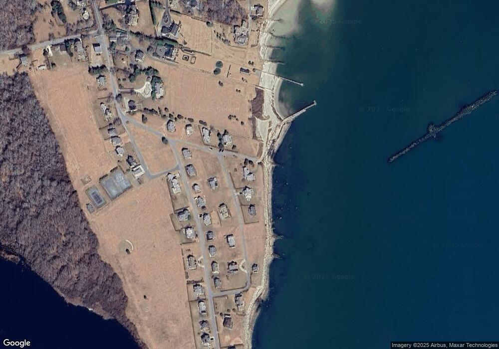
Map
Nearby Homes
- 12 Meadow Shores Rd
- 24 Eagle Dr
- 158 Little River Rd
- 62 Hetty Green St Unit 62
- 48 N Shore Dr Unit 3&7
- 48 N Shore Dr Unit 8
- 482 Smith Neck Rd
- 24 White Alder Way
- Lot 1 Rafael Rd
- 105 Rock Odundee Rd
- 738 Smith Neck Rd
- 61 Pardon Hill Rd
- 23 High St
- Lot 2E Horseneck Rd
- 248 Bakerville Rd
- Lot 2 Horseneck Rd
- 40 School St
- 1150 Russells Mills Rd
- 0 Stoneledge Rd
- 00 Prospect St
- 15 Gosnold Ave
- 20 Gosnold Ave
- 9 Gosnold Ave
- 25 Buzzards Bay Ave
- 25 Buzzards Bay Ave Unit 1
- 14 Gosnold Ave
- 89 Naushon Ave
- 85 Naushon Ave
- 29 Buzzards Bay Ave
- 93 Naushon Ave
- 81 Naushon Ave
- 97 Naushon Ave
- 10 Gosnold Ave
- 33 Buzzards Bay Ave
- 77 Naushon Ave
- 98 Naushon Ave
- 94 Naushon Ave
- 90 Naushon Ave
- 73 Naushon Ave
- 37 Buzzards Bay Ave