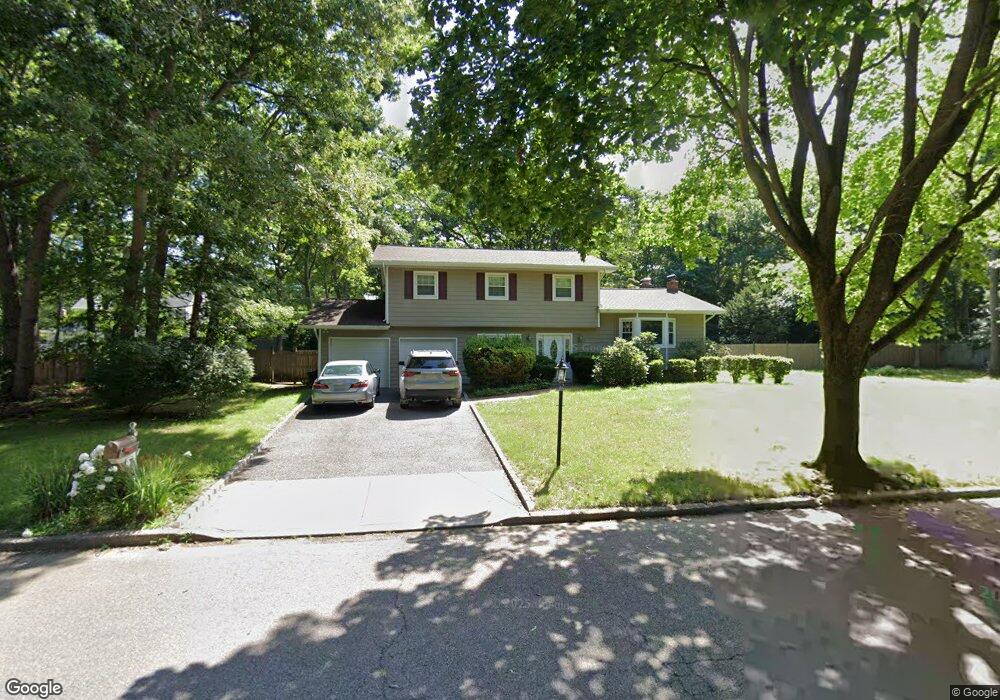
19 Groton Dr Port Jefferson Station, NY 11776
Estimated Value: $611,000 - $683,768
3
Beds
2
Baths
1,813
Sq Ft
$364/Sq Ft
Est. Value
About This Home
This home is located at 19 Groton Dr, Port Jefferson Station, NY 11776 and is currently estimated at $659,192, approximately $363 per square foot. 19 Groton Dr is a home located in Suffolk County with nearby schools including John F Kennedy Middle School and Comsewogue High School.
Ownership History
Date
Name
Owned For
Owner Type
Purchase Details
Closed on
Feb 10, 2006
Sold by
Wanser Thomas L
Bought by
Cross Jeffrey
Current Estimated Value
Purchase Details
Closed on
Aug 25, 2000
Sold by
Donadio Joseph A and Donadio Robin Lynn
Bought by
Wanser Thomas L and Snow Laura
Home Financials for this Owner
Home Financials are based on the most recent Mortgage that was taken out on this home.
Original Mortgage
$216,000
Interest Rate
8.1%
Create a Home Valuation Report for This Property
The Home Valuation Report is an in-depth analysis detailing your home's value as well as a comparison with similar homes in the area
Home Values in the Area
Average Home Value in this Area
Purchase History
| Date | Buyer | Sale Price | Title Company |
|---|---|---|---|
| Cross Jeffrey | $432,500 | John Boklak | |
| Wanser Thomas L | $270,000 | -- |
Source: Public Records
Mortgage History
| Date | Status | Borrower | Loan Amount |
|---|---|---|---|
| Previous Owner | Wanser Thomas L | $216,000 |
Source: Public Records
Tax History Compared to Growth
Tax History
| Year | Tax Paid | Tax Assessment Tax Assessment Total Assessment is a certain percentage of the fair market value that is determined by local assessors to be the total taxable value of land and additions on the property. | Land | Improvement |
|---|---|---|---|---|
| 2024 | $11,428 | $2,925 | $600 | $2,325 |
| 2023 | $11,428 | $2,925 | $600 | $2,325 |
| 2022 | $10,080 | $2,925 | $600 | $2,325 |
| 2021 | $10,080 | $2,925 | $600 | $2,325 |
| 2020 | $10,337 | $2,925 | $600 | $2,325 |
| 2019 | $10,337 | $0 | $0 | $0 |
| 2018 | $9,837 | $2,925 | $600 | $2,325 |
| 2017 | $9,837 | $2,925 | $600 | $2,325 |
| 2016 | $9,754 | $2,925 | $600 | $2,325 |
| 2015 | -- | $2,925 | $600 | $2,325 |
| 2014 | -- | $2,925 | $600 | $2,325 |
Source: Public Records
Map
Nearby Homes
- 205 Crystal Brook Hollow Rd
- 8 Andover Dr
- 182 Crystal Brook Hollow Rd
- 10 Gettysburg Dr
- 17 Gettysburg Dr Unit 17
- 4 Patty Ann Ct
- 35 Junard Blvd
- 5 Aspen St
- 43 Westcliff Dr
- 23 Wheat Path Rd W
- 164 Chestnut St
- 51 Joline Rd
- 3 Alabama Ave
- 17 Mercer St
- Lot 1 Grant St
- 18 Doane Ave
- 527/529 Route 112
- 236 Sagamore Hills Dr
- 97 Chestnut St
- 3 Oliver St