19 Harding Rd Stockton Springs, ME 04981
Estimated Value: $466,000
3
Beds
1
Bath
1,400
Sq Ft
$333/Sq Ft
Est. Value
About This Home
This home is located at 19 Harding Rd, Stockton Springs, ME 04981 and is currently estimated at $466,000, approximately $332 per square foot. 19 Harding Rd is a home located in Waldo County.
Ownership History
Date
Name
Owned For
Owner Type
Purchase Details
Closed on
Dec 11, 2019
Sold by
Shute Thea Est
Bought by
Ceballos Manuel E and Ceballos Nicole A
Current Estimated Value
Home Financials for this Owner
Home Financials are based on the most recent Mortgage that was taken out on this home.
Original Mortgage
$209,000
Outstanding Balance
$184,624
Interest Rate
3.7%
Mortgage Type
New Conventional
Estimated Equity
$281,376
Create a Home Valuation Report for This Property
The Home Valuation Report is an in-depth analysis detailing your home's value as well as a comparison with similar homes in the area
Home Values in the Area
Average Home Value in this Area
Purchase History
| Date | Buyer | Sale Price | Title Company |
|---|---|---|---|
| Ceballos Manuel E | -- | None Available |
Source: Public Records
Mortgage History
| Date | Status | Borrower | Loan Amount |
|---|---|---|---|
| Open | Ceballos Manuel E | $209,000 |
Source: Public Records
Tax History Compared to Growth
Tax History
| Year | Tax Paid | Tax Assessment Tax Assessment Total Assessment is a certain percentage of the fair market value that is determined by local assessors to be the total taxable value of land and additions on the property. | Land | Improvement |
|---|---|---|---|---|
| 2024 | $813 | $48,990 | $48,990 | $0 |
| 2023 | $921 | $41,500 | $41,500 | $0 |
| 2022 | $862 | $42,270 | $42,270 | $0 |
| 2021 | $898 | $44,240 | $44,240 | $0 |
| 2020 | $1,009 | $48,990 | $48,990 | $0 |
| 2019 | $3,494 | $172,110 | $81,700 | $90,410 |
| 2018 | $3,519 | $174,230 | $82,540 | $91,690 |
| 2017 | $3,568 | $174,050 | $82,230 | $91,820 |
| 2016 | $3,406 | $173,780 | $80,730 | $93,050 |
| 2015 | $3,167 | $167,150 | $72,820 | $94,330 |
| 2014 | $3,804 | $197,610 | $108,800 | $88,810 |
| 2013 | $3,494 | $194,100 | $105,290 | $88,810 |
Source: Public Records
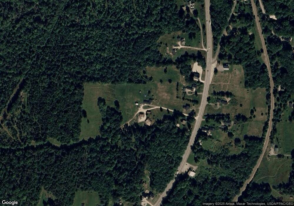
Map
Nearby Homes
- 671 U S Route 1
- 45 Sandy Point Rd
- 22 Bayview Dr
- 1357 U S Route 1
- 196 Hersey Retreat Rd
- 00 Stagecoach Rd
- 115A&B Pirates Cove Rd
- 115 Pirates Cove Rd
- 115 Rd
- 38 Osprey Reach Rd
- 95 Osprey Reach Rd
- 15 Windjammer Ln
- 19 Bracken Ln
- 271 U S Route 1
- #17 W Side Dr
- Lot 157 Denslow Rd
- 49 Fort Point Cove Rd
- 270 Main St
- 96 Pirates Cove Rd
- 7 Winchester Way