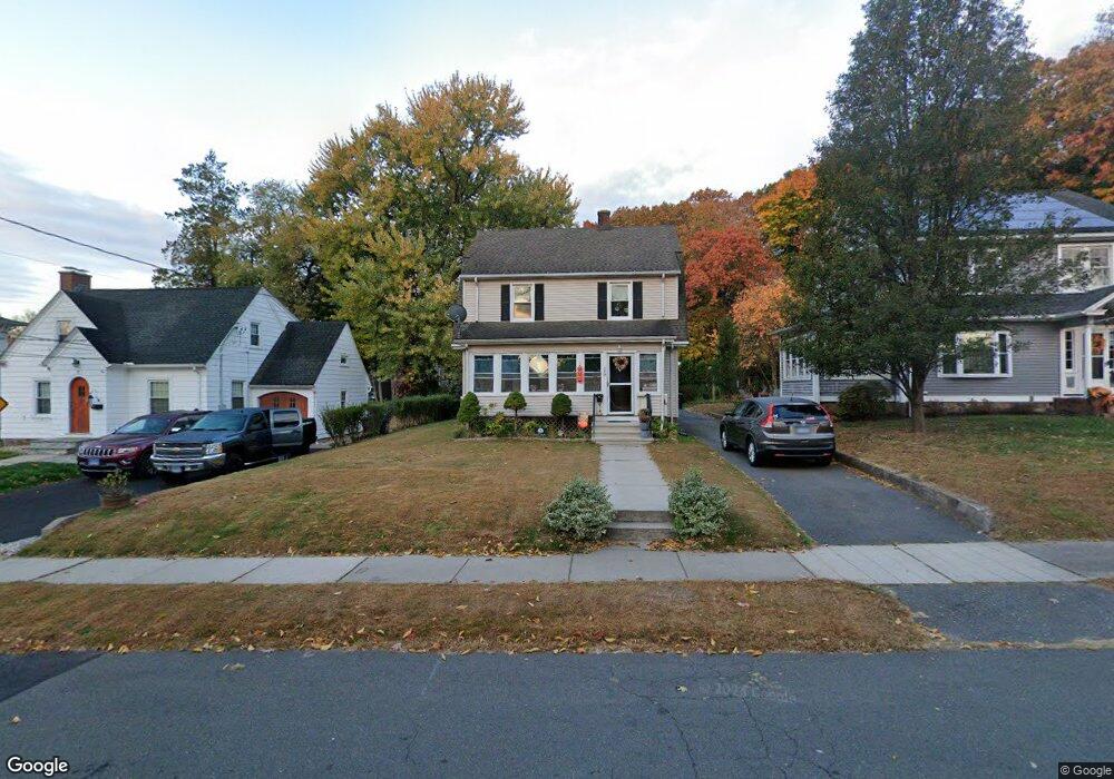
19 Harding St New Britain, CT 06052
Estimated Value: $266,000 - $341,000
3
Beds
2
Baths
1,463
Sq Ft
$207/Sq Ft
Est. Value
About This Home
This home is located at 19 Harding St, New Britain, CT 06052 and is currently estimated at $303,473, approximately $207 per square foot. 19 Harding St is a home located in Hartford County with nearby schools including Vance School, Slade Middle School, and Raymond Hill School.
Ownership History
Date
Name
Owned For
Owner Type
Purchase Details
Closed on
Sep 23, 2015
Sold by
Moseley James S
Bought by
Mays Nicole D and Moseley Marisa L
Current Estimated Value
Purchase Details
Closed on
Aug 5, 1998
Sold by
Vanommerem Rita C
Bought by
Moseley James S
Purchase Details
Closed on
Oct 14, 1994
Sold by
Cunningham Vincent M
Bought by
Vanommeren Rita C and Moseley James S
Create a Home Valuation Report for This Property
The Home Valuation Report is an in-depth analysis detailing your home's value as well as a comparison with similar homes in the area
Home Values in the Area
Average Home Value in this Area
Purchase History
| Date | Buyer | Sale Price | Title Company |
|---|---|---|---|
| Mays Nicole D | -- | -- | |
| Moseley James S | $5,000 | -- | |
| Vanommeren Rita C | $75,000 | -- |
Source: Public Records
Mortgage History
| Date | Status | Borrower | Loan Amount |
|---|---|---|---|
| Open | Vanommeren Rita C | $97,135 | |
| Previous Owner | Vanommeren Rita C | $128,898 | |
| Previous Owner | Vanommeren Rita C | $125,104 |
Source: Public Records
Tax History
| Year | Tax Paid | Tax Assessment Tax Assessment Total Assessment is a certain percentage of the fair market value that is determined by local assessors to be the total taxable value of land and additions on the property. | Land | Improvement |
|---|---|---|---|---|
| 2025 | $5,211 | $133,000 | $48,020 | $84,980 |
| 2024 | $5,265 | $133,000 | $48,020 | $84,980 |
| 2023 | $5,091 | $133,000 | $48,020 | $84,980 |
| 2022 | $4,439 | $89,670 | $22,120 | $67,550 |
| 2021 | $4,439 | $89,670 | $22,120 | $67,550 |
| 2020 | $4,528 | $89,670 | $22,120 | $67,550 |
| 2019 | $4,528 | $89,670 | $22,120 | $67,550 |
| 2018 | $4,528 | $89,670 | $22,120 | $67,550 |
| 2017 | $4,507 | $89,250 | $20,300 | $68,950 |
| 2016 | $4,507 | $89,250 | $20,300 | $68,950 |
| 2015 | $4,373 | $89,250 | $20,300 | $68,950 |
| 2014 | $4,373 | $89,250 | $20,300 | $68,950 |
Source: Public Records
Map
Nearby Homes
- 275 Winthrop St
- 26 Chamberlain St
- 212 Lincoln St
- 340 Lincoln St
- 351 Lincoln St
- 67 Brooklawn St
- 112 Lincoln St
- 126 Winthrop St
- 32 Garden St
- 66 Lincoln St
- 22 Mason Dr
- 30 Norden St
- 134 Black Rock Ave
- 152 Lyons St
- 962 Corbin Ave
- 14 Park Place Unit 4
- 18 Woodruff Ct
- 235 W Main St
- 380 Arch St
- 38 Greenwood St
Your Personal Tour Guide
Ask me questions while you tour the home.