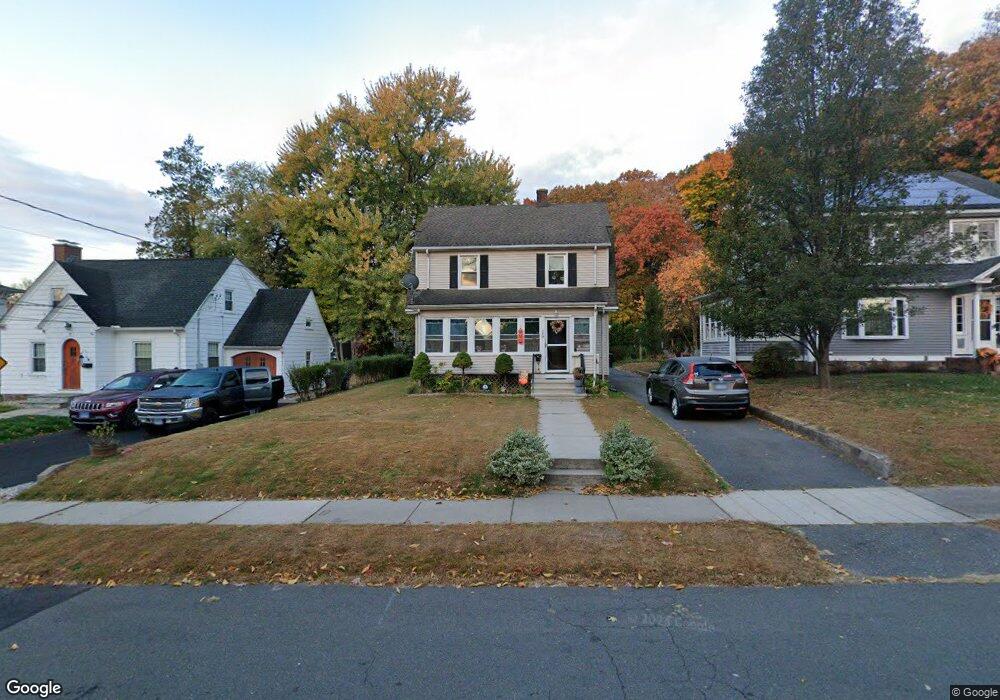
19 Harding St New Britain, CT 06052
Estimated Value: $263,000 - $342,000
About This Home
This home is located at 19 Harding St, New Britain, CT 06052 and is currently estimated at $315,650, approximately $215 per square foot. 19 Harding St is a home located in Hartford County with nearby schools including Vance School, Slade Middle School, and Raymond Hill School.
Ownership History
We collect this data history from publicly available records. To have your information removed, we recommend requesting removal directly through your county’s website.
Purchase Details
Purchase Details
Purchase Details
Home Values in the Area
Average Home Value in this Area
Purchase History
We collect this data history from publicly available records. To have your information removed, we recommend requesting removal directly through your county’s website.
| Date | Buyer | Sale Price | Title Company |
|---|---|---|---|
| -- | -- | ||
| $5,000 | -- | ||
| $75,000 | -- |
Mortgage History
We collect this data history from publicly available records. To have your information removed, we recommend requesting removal directly through your county’s website.
| Date | Status | Borrower | Loan Amount |
|---|---|---|---|
| Open | $97,135 | ||
| Previous Owner | $128,898 | ||
| Previous Owner | $125,104 |
Tax History
We collect this data history from publicly available records. To have your information removed, we recommend requesting removal directly through your county’s website.
| Year | Tax Paid | Tax Assessment Tax Assessment Total Assessment is a certain percentage of the fair market value that is determined by local assessors to be the total taxable value of land and additions on the property. | Land | Improvement |
|---|---|---|---|---|
| 2025 | $5,211 | $133,000 | $48,020 | $84,980 |
| 2024 | $5,265 | $133,000 | $48,020 | $84,980 |
| 2023 | $5,091 | $133,000 | $48,020 | $84,980 |
| 2022 | $4,439 | $89,670 | $22,120 | $67,550 |
| 2021 | $4,439 | $89,670 | $22,120 | $67,550 |
| 2020 | $4,528 | $89,670 | $22,120 | $67,550 |
| 2019 | $4,528 | $89,670 | $22,120 | $67,550 |
| 2018 | $4,528 | $89,670 | $22,120 | $67,550 |
| 2017 | $4,507 | $89,250 | $20,300 | $68,950 |
| 2016 | $4,507 | $89,250 | $20,300 | $68,950 |
| 2015 | $4,373 | $89,250 | $20,300 | $68,950 |
| 2014 | $4,373 | $89,250 | $20,300 | $68,950 |
Map
- 208 Hart St
- 190 Hart St
- 124 Vance St
- 30 W End Ave
- 801 Corbin Ave
- 112 Lincoln St
- 31 Brooklawn St
- 40 Ten Acre Rd
- 44 Steele St
- 510 Corbin Ave
- 30 Vine St
- 69 Columbia St
- 962 Corbin Ave
- 14 Park Place Unit 4
- 19 Homestead Ave
- 70 Grove Hill St Unit 2H
- 32 Greenwood St
- 101 Greenwood St
- 84 Prospect St
- 69 S Mountain Dr
Ask me questions while you tour the home.