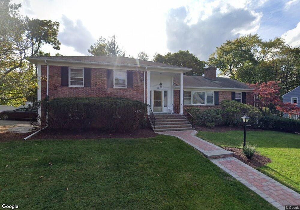
19 Harrison Ct South Orange, NJ 07079
Estimated Value: $964,000 - $1,185,000
--
Bed
--
Bath
2,544
Sq Ft
$437/Sq Ft
Est. Value
About This Home
This home is located at 19 Harrison Ct, South Orange, NJ 07079 and is currently estimated at $1,112,462, approximately $437 per square foot. 19 Harrison Ct is a home located in Essex County with nearby schools including Marshall Elementary School, South Orange Middle School, and Columbia Senior High School.
Ownership History
Date
Name
Owned For
Owner Type
Purchase Details
Closed on
Oct 3, 2024
Sold by
Horton James and Horton Betty J
Bought by
Horton Betty J
Current Estimated Value
Purchase Details
Closed on
Sep 26, 2005
Sold by
Edmisten Philip
Bought by
Horton James and Horton Betty
Home Financials for this Owner
Home Financials are based on the most recent Mortgage that was taken out on this home.
Original Mortgage
$445,600
Interest Rate
7.5%
Mortgage Type
Adjustable Rate Mortgage/ARM
Purchase Details
Closed on
Apr 9, 1998
Sold by
Mcenroe Harry
Bought by
Edmisten Philip
Home Financials for this Owner
Home Financials are based on the most recent Mortgage that was taken out on this home.
Original Mortgage
$180,000
Interest Rate
6.65%
Create a Home Valuation Report for This Property
The Home Valuation Report is an in-depth analysis detailing your home's value as well as a comparison with similar homes in the area
Home Values in the Area
Average Home Value in this Area
Purchase History
| Date | Buyer | Sale Price | Title Company |
|---|---|---|---|
| Horton Betty J | -- | Chicago Title | |
| Horton Betty J | -- | Chicago Title | |
| Horton James | $557,000 | -- | |
| Edmisten Philip | $225,000 | -- |
Source: Public Records
Mortgage History
| Date | Status | Borrower | Loan Amount |
|---|---|---|---|
| Previous Owner | Horton James | $445,600 | |
| Previous Owner | Edmisten Philip | $180,000 |
Source: Public Records
Tax History Compared to Growth
Tax History
| Year | Tax Paid | Tax Assessment Tax Assessment Total Assessment is a certain percentage of the fair market value that is determined by local assessors to be the total taxable value of land and additions on the property. | Land | Improvement |
|---|---|---|---|---|
| 2025 | $22,218 | $957,700 | $524,300 | $433,400 |
| 2024 | $22,218 | $957,700 | $524,300 | $433,400 |
| 2022 | $21,424 | $610,900 | $327,200 | $283,700 |
| 2021 | $20,679 | $610,900 | $327,200 | $283,700 |
| 2020 | $20,038 | $610,900 | $327,200 | $283,700 |
| 2019 | $19,537 | $610,900 | $327,200 | $283,700 |
| 2018 | $19,243 | $610,900 | $327,200 | $283,700 |
| 2017 | $18,767 | $610,900 | $327,200 | $283,700 |
| 2016 | $15,239 | $398,100 | $163,500 | $234,600 |
| 2015 | $14,885 | $398,100 | $163,500 | $234,600 |
| 2014 | $14,574 | $398,100 | $163,500 | $234,600 |
Source: Public Records
Map
Nearby Homes
- 114 Irving Ave
- 324 Scotland Rd
- 252 Raymond Ct
- 520 Scotland Rd
- 204 Raymond Ave
- 560 Berkeley Ave
- 403 Lawn Ridge Rd
- 316 Lawnridge Rd
- 408 Heywood Ave
- 409 Hillside Place
- 488 Heywood Ave
- 525 Argyle Ave
- 17 University Ct
- 668 Lincoln Ave
- 733 Mosswood Ave
- 423 N Ridgewood Rd
- 669 Scotland Rd
- 669 Scotland Rd Unit 2
- 743 Haxton Ave
- 656 Scotland Rd