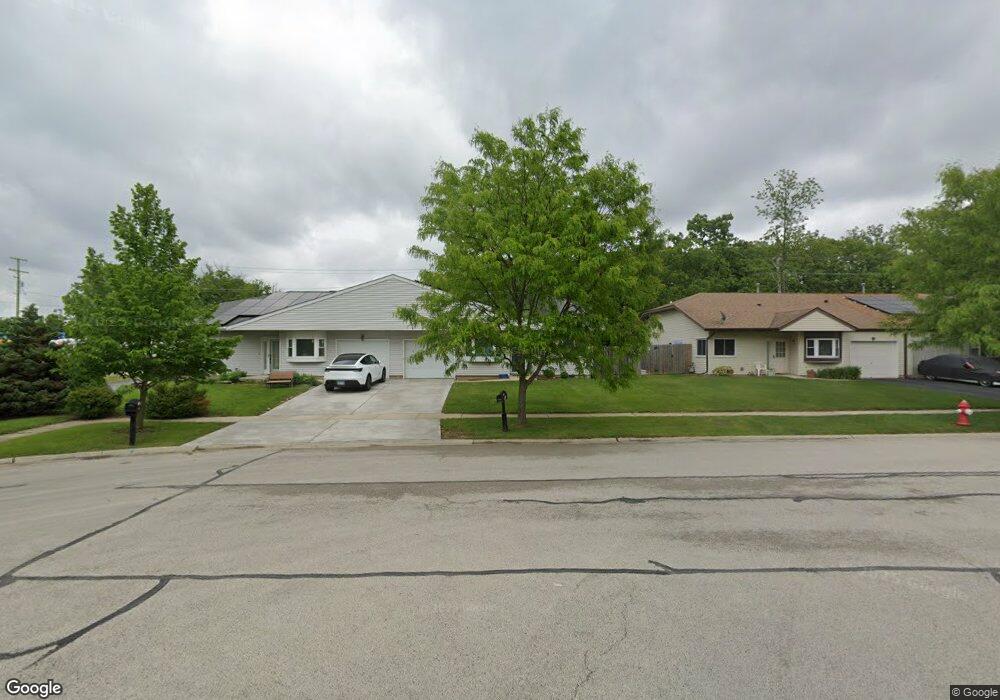
19 Helen Ct Streamwood, IL 60107
Estimated Value: $306,000 - $336,000
3
Beds
2
Baths
1,491
Sq Ft
$216/Sq Ft
Est. Value
About This Home
This home is located at 19 Helen Ct, Streamwood, IL 60107 and is currently estimated at $321,700, approximately $215 per square foot. 19 Helen Ct is a home located in Cook County with nearby schools including Heritage Elementary School, Tefft Middle School, and Streamwood High School.
Ownership History
Date
Name
Owned For
Owner Type
Purchase Details
Closed on
Apr 23, 1996
Sold by
Danesi Roberto and Spaid Sandra
Bought by
Compton David E
Current Estimated Value
Home Financials for this Owner
Home Financials are based on the most recent Mortgage that was taken out on this home.
Original Mortgage
$120,650
Outstanding Balance
$5,914
Interest Rate
7.78%
Estimated Equity
$315,786
Create a Home Valuation Report for This Property
The Home Valuation Report is an in-depth analysis detailing your home's value as well as a comparison with similar homes in the area
Home Values in the Area
Average Home Value in this Area
Purchase History
| Date | Buyer | Sale Price | Title Company |
|---|---|---|---|
| Compton David E | $127,000 | Attorneys Natl Title Network |
Source: Public Records
Mortgage History
| Date | Status | Borrower | Loan Amount |
|---|---|---|---|
| Open | Compton David E | $120,650 |
Source: Public Records
Tax History Compared to Growth
Tax History
| Year | Tax Paid | Tax Assessment Tax Assessment Total Assessment is a certain percentage of the fair market value that is determined by local assessors to be the total taxable value of land and additions on the property. | Land | Improvement |
|---|---|---|---|---|
| 2024 | $6,064 | $23,000 | $3,500 | $19,500 |
| 2023 | $5,874 | $23,000 | $3,500 | $19,500 |
| 2022 | $5,874 | $23,000 | $3,500 | $19,500 |
| 2021 | $4,994 | $16,990 | $2,860 | $14,130 |
| 2020 | $4,991 | $16,990 | $2,860 | $14,130 |
| 2019 | $4,936 | $18,878 | $2,860 | $16,018 |
| 2018 | $5,346 | $18,614 | $2,487 | $16,127 |
| 2017 | $5,293 | $18,614 | $2,487 | $16,127 |
| 2016 | $5,220 | $18,614 | $2,487 | $16,127 |
| 2015 | $4,689 | $15,843 | $2,238 | $13,605 |
| 2014 | $4,637 | $15,843 | $2,238 | $13,605 |
| 2013 | $4,473 | $15,843 | $2,238 | $13,605 |
Source: Public Records
Map
Nearby Homes
- 134 Virginia Ct
- 8 Lasalle Ct
- 53 Samuel Dr Unit 163
- 55 Samuel Dr Unit 162
- 6 Wild Rose Ct
- 2056 Essex Ct
- 113 Samuel Ct Unit 263
- 2073 Essex Ct
- 9N Merry Oaks Rd
- 2104 Falmouth Ct
- 106 Brittany Dr Unit 17E1
- 69 Colonial Ct
- 121 E Briarwood Dr
- 406 Locksley Dr
- 434 Locksley Dr
- 4018 Oxford Ct
- 803 Forest Dr
- 3098 Lynnwood Ct
- 36 Evergreen Dr
- 1005 S Park Blvd