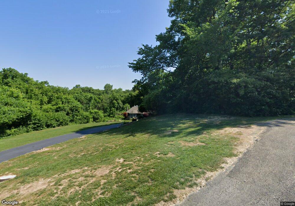
19 Hillcrest Ln Caseyville, IL 62232
Estimated Value: $228,000 - $313,000
--
Bed
--
Bath
1,771
Sq Ft
$156/Sq Ft
Est. Value
About This Home
This home is located at 19 Hillcrest Ln, Caseyville, IL 62232 and is currently estimated at $276,444, approximately $156 per square foot. 19 Hillcrest Ln is a home located in St. Clair County with nearby schools including Caseyville Elementary School, Dorris Intermediate School, and Collinsville Middle School.
Ownership History
Date
Name
Owned For
Owner Type
Purchase Details
Closed on
Feb 8, 2023
Sold by
Rodgers Randall T and Rodgers Denise M
Bought by
Rodgers Randall T and Cowboys Trust
Current Estimated Value
Purchase Details
Closed on
Feb 22, 2002
Sold by
Blackard Randy F and Blackard Mary E
Bought by
Rodgers Randall T and Rodgers Denise M
Home Financials for this Owner
Home Financials are based on the most recent Mortgage that was taken out on this home.
Original Mortgage
$184,900
Interest Rate
7.14%
Mortgage Type
Purchase Money Mortgage
Create a Home Valuation Report for This Property
The Home Valuation Report is an in-depth analysis detailing your home's value as well as a comparison with similar homes in the area
Home Values in the Area
Average Home Value in this Area
Purchase History
| Date | Buyer | Sale Price | Title Company |
|---|---|---|---|
| Rodgers Randall T | -- | None Available | |
| Rodgers Randall T | $185,000 | Benchmark Title Company |
Source: Public Records
Mortgage History
| Date | Status | Borrower | Loan Amount |
|---|---|---|---|
| Previous Owner | Rodgers Randall T | $184,900 |
Source: Public Records
Tax History Compared to Growth
Tax History
| Year | Tax Paid | Tax Assessment Tax Assessment Total Assessment is a certain percentage of the fair market value that is determined by local assessors to be the total taxable value of land and additions on the property. | Land | Improvement |
|---|---|---|---|---|
| 2024 | -- | $69,529 | $9,557 | $59,972 |
| 2023 | -- | $61,519 | $8,456 | $53,063 |
| 2022 | $0 | $57,992 | $8,288 | $49,704 |
| 2021 | $0 | $55,041 | $7,866 | $47,175 |
| 2020 | $0 | $52,137 | $7,451 | $44,686 |
| 2019 | $0 | $52,137 | $7,451 | $44,686 |
| 2018 | $0 | $52,330 | $7,968 | $44,362 |
| 2017 | $0 | $50,206 | $7,644 | $42,562 |
| 2016 | $0 | $49,072 | $7,471 | $41,601 |
| 2014 | $4,092 | $55,167 | $8,711 | $46,456 |
| 2013 | $3,780 | $56,184 | $8,872 | $47,312 |
Source: Public Records
Map
Nearby Homes
- 13 Hillwood Dr
- 712 Hill Rd
- 7 Hadfield Ln
- 270 Nicole Dr
- 274 Nicole Dr
- 282 Nicole Dr
- 286TBB Nicole Dr
- 708 Conner Cir
- 298 Nicole Dr
- 191 Geaschel Dr
- 806 Erika Leigh Ct
- 397 Nicole Dr
- 410 W Lincoln Ave
- 705 S 5th St
- 602 S 5th St
- 8 Countryside Dr
- 120 Bunkum Woods Dr
- 116 Bunkum Woods Dr
- 103 Acres Bunkum Rd
- 24 W Reynolds St