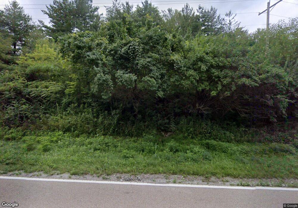
19 Jamestown Rd Pocahontas, IL 62275
Estimated Value: $377,000 - $515,000
--
Bed
--
Bath
1,572
Sq Ft
$277/Sq Ft
Est. Value
About This Home
This home is located at 19 Jamestown Rd, Pocahontas, IL 62275 and is currently estimated at $435,191, approximately $276 per square foot. 19 Jamestown Rd is a home located in Bond County with nearby schools including Breese ESD #12, Beckemeyer Elementary School, and Central Community High School.
Ownership History
Date
Name
Owned For
Owner Type
Purchase Details
Closed on
Feb 14, 2005
Sold by
Chandler Michatel T and Chandler Erin M
Bought by
Chandler Michael T and Chandler Erin M
Current Estimated Value
Home Financials for this Owner
Home Financials are based on the most recent Mortgage that was taken out on this home.
Original Mortgage
$158,500
Outstanding Balance
$80,351
Interest Rate
5.71%
Mortgage Type
Purchase Money Mortgage
Estimated Equity
$354,840
Create a Home Valuation Report for This Property
The Home Valuation Report is an in-depth analysis detailing your home's value as well as a comparison with similar homes in the area
Home Values in the Area
Average Home Value in this Area
Purchase History
| Date | Buyer | Sale Price | Title Company |
|---|---|---|---|
| Chandler Michael T | -- | -- |
Source: Public Records
Mortgage History
| Date | Status | Borrower | Loan Amount |
|---|---|---|---|
| Open | Chandler Michael T | $158,500 |
Source: Public Records
Tax History Compared to Growth
Tax History
| Year | Tax Paid | Tax Assessment Tax Assessment Total Assessment is a certain percentage of the fair market value that is determined by local assessors to be the total taxable value of land and additions on the property. | Land | Improvement |
|---|---|---|---|---|
| 2023 | $5,771 | $92,061 | $7,934 | $84,127 |
| 2022 | $5,541 | $87,023 | $7,500 | $79,523 |
| 2021 | $4,531 | $60,778 | $7,000 | $53,778 |
| 2020 | $4,649 | $60,778 | $7,000 | $53,778 |
| 2019 | $4,673 | $60,778 | $7,000 | $53,778 |
| 2018 | $4,705 | $60,778 | $7,000 | $53,778 |
| 2016 | $4,594 | $60,778 | $7,000 | $53,778 |
| 2015 | $4,748 | $60,778 | $7,000 | $53,778 |
| 2013 | $461 | $67,584 | $10,174 | $57,410 |
| 2011 | $4,280 | $67,584 | $10,174 | $57,410 |
Source: Public Records
Map
Nearby Homes
- 000 Hug Cemetery Rd
- 4 Hill Valley Dr
- 22809 Saint Rose Rd
- 17811 East St
- 112 Blaine St
- 371 Frey Meadows Rd
- 204 E Kavanaugh St
- 0 W State St
- 0 W State Street Lot 3 Unit MAR24014942
- 0 W State Street Lot 2 Unit MAR24014905
- 0 W State Street Lot 1 Unit MAR24014842
- 39 W State St
- 38 W State St
- 35 W State St
- 34 W State St
- 33 W State St
- 32 W State St
- 29 W State St
- 37 W State St
- 36 W State St
