19 Jasmine Ln Wolcott, CT 06716
Estimated Value: $303,000 - $341,000
3
Beds
1
Bath
988
Sq Ft
$324/Sq Ft
Est. Value
About This Home
This home is located at 19 Jasmine Ln, Wolcott, CT 06716 and is currently estimated at $319,842, approximately $323 per square foot. 19 Jasmine Ln is a home located in New Haven County with nearby schools including Tyrrell Middle School and Wolcott High School.
Ownership History
Date
Name
Owned For
Owner Type
Purchase Details
Closed on
Jan 22, 2025
Sold by
Baranoski George S
Bought by
Baranoski Christine
Current Estimated Value
Purchase Details
Closed on
Oct 29, 2021
Sold by
Baranoski George S and Baranoski Christine
Bought by
Baranoski George S and Baranoski Christine
Purchase Details
Closed on
Jul 15, 1976
Bought by
Baranoski George S and Baranoski Christine
Create a Home Valuation Report for This Property
The Home Valuation Report is an in-depth analysis detailing your home's value as well as a comparison with similar homes in the area
Home Values in the Area
Average Home Value in this Area
Purchase History
| Date | Buyer | Sale Price | Title Company |
|---|---|---|---|
| Baranoski Christine | -- | None Available | |
| Baranoski Christine | -- | None Available | |
| Baranoski George S | -- | None Available | |
| Baranoski George S | -- | None Available | |
| Baranoski George S | -- | -- |
Source: Public Records
Mortgage History
| Date | Status | Borrower | Loan Amount |
|---|---|---|---|
| Previous Owner | Baranoski George S | $10,000 |
Source: Public Records
Tax History
| Year | Tax Paid | Tax Assessment Tax Assessment Total Assessment is a certain percentage of the fair market value that is determined by local assessors to be the total taxable value of land and additions on the property. | Land | Improvement |
|---|---|---|---|---|
| 2025 | $4,498 | $125,200 | $39,560 | $85,640 |
| 2024 | $4,140 | $125,200 | $39,560 | $85,640 |
| 2023 | $3,990 | $125,200 | $39,560 | $85,640 |
| 2022 | $3,856 | $125,200 | $39,560 | $85,640 |
| 2021 | $3,542 | $106,890 | $37,460 | $69,430 |
| 2020 | $3,542 | $106,890 | $37,460 | $69,430 |
| 2019 | $3,542 | $106,890 | $37,460 | $69,430 |
| 2018 | $3,442 | $106,890 | $37,460 | $69,430 |
| 2017 | $3,342 | $106,890 | $37,460 | $69,430 |
| 2016 | $3,578 | $123,760 | $38,160 | $85,600 |
| 2015 | $3,475 | $123,760 | $38,160 | $85,600 |
| 2014 | $3,363 | $123,760 | $38,160 | $85,600 |
Source: Public Records
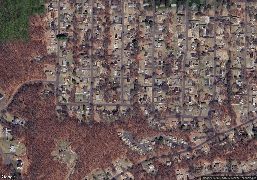
Map
Nearby Homes
- 99 Hickory Ln
- 128 Lyman Rd Unit 24
- 18 Sheraton Dr
- 22 Pembroke Hill Rd
- 9 Pembroke Hill Rd
- 8 Oakengate Rd
- 17 Forestview Dr
- 75 Forestview Dr
- 63 Lyman Rd
- 16 Oakengate Rd
- 12 Longmeadow Dr
- 2 Park Ave Unit 3
- 52 Chestnut Hill Rd
- 0 Spindle Hill Rd Unit 24062265
- 24 Granada Dr
- 1 Winfield Ave
- 416 Chestnut Hill Ave
- 14 Williams Ct
- 43 Williams Ct
- 176 Brooks Hill Rd
Your Personal Tour Guide
Ask me questions while you tour the home.